Property Record
1625 S 86Th St, Kansas City, KS 66111

NEARBY LISTINGS FOR SALE OR LEASE
Property Detail
1625 S 86Th St
Kansas City, MO-KS
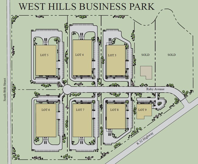
Westhills Industrial Park
933104
9331, S29, T11, R24, ACRES 58.57, W1/2 NW1/4 NLY OF KAW DR LS N 1223.81FT & W 602.16FT NE1/4 NW1/4 CONTG 58.57AC M/L
Miningfacilityoilgasmineralpreciousmetals
Wyandotte
AE
Kansas
20209C0134E
4
2025
38.09 AC
2025
Kansas City KS
044002
Kansas City
DEMOGRAPHICS near 1625 S 86Th St
1 Mile
3 Mile
5 Mile
2024 Total Population
538
15,526
91,236
2029 Population
529
15,242
92,362
Pop Growth 2024-2029
(1.67%)
(1.83%)
+ 1.23%
Average Age
43
41
40
2024 Total Households
191
5,804
34,070
HH Growth 2024-2029
(1.57%)
(1.95%)
+ 1.32%
Median Household Inc
$101,562
$82,463
$87,774
Avg Household Size
2.50
2.60
2.60
2024 Avg HH Vehicles
2.00
2.00
2.00
Median Home Value
$240,000
$233,333
$276,050
Median Year Built
1972
1974
1976
Nearby Places
Map Layers
Map Styles
 Street
 Aerial
- Restaurants
- Banks
- Shops
- Fitness
- Groceries
PUBLIC TRANSPORTATION
AIRPORT
Kansas City International
DRIVE
WALK
Distance
Kansas City International
34 min
27.9 mi
Freight Ports
Tulsa Port Of Catoosa
DRIVE
WALK
Distance
Tulsa Port Of Catoosa
265 min
236.9 mi
Nearby Properties
Address
Land Use
TOTAL SIZE
Lot Size
Zoning
Address
Land Use
TOTAL SIZE
Lot Size
Zoning
872,064 SF
119.39 AC
Address
Land Use
TOTAL SIZE
Lot Size
Zoning
274,379 SF
17.32 AC
Address
Land Use
TOTAL SIZE
Lot Size
Zoning
658,206 SF
56.76 AC
ER1
Address
Land Use
TOTAL SIZE
Lot Size
Zoning
285,041 SF
109.90 AC
EI1
Address
Land Use
TOTAL SIZE
Lot Size
Zoning
376,094 SF
22.93 AC
Address
Land Use
TOTAL SIZE
Lot Size
Zoning
164,462 SF
23.15 AC
Address
Land Use
TOTAL SIZE
Lot Size
Zoning
280,000 SF
24.54 AC
Address
Land Use
TOTAL SIZE
Lot Size
Zoning
81,594 SF
14.08 AC
Address
Land Use
TOTAL SIZE
Lot Size
Zoning
167,713 SF
78.95 AC
KR1
Address
Land Use
TOTAL SIZE
Lot Size
Zoning
15,264 SF
73.01 AC
KR1
Address
Land Use
TOTAL SIZE
Lot Size
Zoning
402,811 SF
33.85 AC
Address
Land Use
TOTAL SIZE
Lot Size
Zoning
329,330 SF
18.25 AC
Address
Land Use
TOTAL SIZE
Lot Size
Zoning
43,445 SF
8.17 AC
KR1
Address
Land Use
TOTAL SIZE
Lot Size
Zoning
175,714 SF
22.94 AC
Address
Land Use
TOTAL SIZE
Lot Size
Zoning
180,000 SF
12.47 AC
Address
Land Use
TOTAL SIZE
Lot Size
Zoning
181,708 SF
20.29 AC
KR1
Address
Land Use
TOTAL SIZE
Lot Size
Zoning
180,966 SF
17.82 AC
Address
Land Use
TOTAL SIZE
Lot Size
Zoning
175,620 SF
15.52 AC
Address
Land Use
TOTAL SIZE
Lot Size
Zoning
6,688 SF
11.19 AC
LU1
Address
Land Use
TOTAL SIZE
Lot Size
Zoning
86,635 SF
24.11 AC
EI1
Address
Land Use
TOTAL SIZE
Lot Size
Zoning
9,437 SF
4.20 AC
KAG
Address
Land Use
TOTAL SIZE
Lot Size
Zoning
247,142 SF
13.88 AC
EI1
Address
Land Use
TOTAL SIZE
Lot Size
Zoning
368,600 SF
17.17 AC
EI1
Address
Land Use
TOTAL SIZE
Lot Size
Zoning
87,750 SF
20.71 AC
Address
Land Use
TOTAL SIZE
Lot Size
Zoning
108,717 SF
14.50 AC
Address
Land Use
TOTAL SIZE
Lot Size
Zoning
20,230 SF
32.30 AC
KR1
Address
Land Use
TOTAL SIZE
Lot Size
Zoning
6,400 SF
71.31 AC
KR1
Address
Land Use
TOTAL SIZE
Lot Size
Zoning
43,512 SF
9.68 AC
KR1
Address
Land Use
TOTAL SIZE
Lot Size
Zoning
61,944 SF
22.06 AC
KR1
Address
Land Use
TOTAL SIZE
Lot Size
Zoning
39,703 SF
34.38 AC
EI1
The World's #1 Commercial Real Estate Marketplace
Connect with us
© 2026 CoStar Group
The information above has been obtained from sources believed reliable. While we do not doubt its accuracy we have not verified it and make no guarantee, warranty or representation about it. It is your responsibility to independently confirm its accuracy and completeness. Any projections, opinions, assumptions, or estimates used are for example only and do not represent the current or future performance of the property. The value of this transaction to you depends on tax and other factors which should be evaluated by your tax, financial, and legal advisors. You and your advisors should conduct a careful, independent investigation of the property to determine to your satisfaction the suitability of the property for your needs.