Property Record
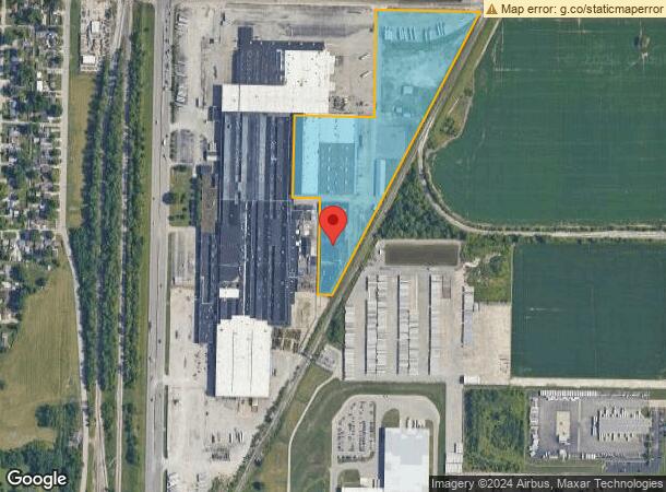
1625 Saint George Rd, Evansville, IN 47711

NEARBY LISTINGS FOR SALE OR LEASE
Property Detail
1625 Saint George Rd
82-06-04-034-298.012-020
PT SE 1/4 4-6-10
Storageyardopenstoragelightequipmentmaterial
Vanderburgh
X
Indiana
18163C0118E
16.16 AC
2024
Northside/Airport
2024
Evansville
010207
Evansville, IN
76,184 SF
DEMOGRAPHICS near 1625 Saint George Rd
1 Mile
3 Mile
5 Mile
2024 Total Population
2,602
45,566
115,672
2029 Population
2,591
45,265
116,293
Pop Growth 2024-2029
(0.42%)
(0.66%)
+ 0.54%
Average Age
41
42
40
2024 Total Households
881
19,732
49,405
HH Growth 2024-2029
(0.45%)
(0.67%)
+ 0.57%
Median Household Inc
$61,704
$57,697
$52,404
Avg Household Size
2.40
2.20
2.20
2024 Avg HH Vehicles
2.00
2.00
2.00
Median Home Value
$149,384
$151,700
$143,665
Median Year Built
1973
1973
1966
Nearby Places
Map Layers
Map Styles
 Street
 Aerial
- Restaurants
- Banks
- Shops
- Fitness
- Groceries
PUBLIC TRANSPORTATION
AIRPORT
Evansville Regional
DRIVE
WALK
Distance
Evansville Regional
7 min
1.6 mi
Freight Ports
Port of Toledo
DRIVE
WALK
Distance
Port of Toledo
458 min
391.6 mi
SALE & LEASE HISTORY
LISTING DATE
SALE/LEASE

Nov 14, 2019
For Lease
Jun 04, 2021
For Sale
Aug 18, 2017
For Lease
Aug 18, 2017
For Sale
Nearby Properties
Address
Land Use
TOTAL SIZE
Lot Size
Zoning
Address
Land Use
TOTAL SIZE
Lot Size
Zoning
38,566 SF
14.66 AC
Address
Land Use
TOTAL SIZE
Lot Size
Zoning
4,831 SF
22.16 AC
Address
Land Use
TOTAL SIZE
Lot Size
Zoning
992,266 SF
116.92 AC
Address
Land Use
TOTAL SIZE
Lot Size
Zoning
25,700 SF
7.55 AC
Address
Land Use
TOTAL SIZE
Lot Size
Zoning
10,619 SF
29.18 AC
Address
Land Use
TOTAL SIZE
Lot Size
Zoning
4,165 SF
17.92 AC
Address
Land Use
TOTAL SIZE
Lot Size
Zoning
23,796 SF
17.29 AC
Address
Land Use
TOTAL SIZE
Lot Size
Zoning
148,186 SF
6.67 AC
Address
Land Use
TOTAL SIZE
Lot Size
Zoning
194,564 SF
24.47 AC
Address
Land Use
TOTAL SIZE
Lot Size
Zoning
3,950 SF
16.77 AC
Address
Land Use
TOTAL SIZE
Lot Size
Zoning
162,726 SF
22.71 AC
Address
Land Use
TOTAL SIZE
Lot Size
Zoning
311,804 SF
31.94 AC
Address
Land Use
TOTAL SIZE
Lot Size
Zoning
66,456 SF
39.47 AC
Address
Land Use
TOTAL SIZE
Lot Size
Zoning
1,053,789 SF
52.82 AC
Address
Land Use
TOTAL SIZE
Lot Size
Zoning
16,292 SF
6.87 AC
Address
Land Use
TOTAL SIZE
Lot Size
Zoning
298,374 SF
18.16 AC
Address
Land Use
TOTAL SIZE
Lot Size
Zoning
100,706 SF
13.61 AC
Address
Land Use
TOTAL SIZE
Lot Size
Zoning
4,800 SF
15.93 AC
Address
Land Use
TOTAL SIZE
Lot Size
Zoning
68,706 SF
13.46 AC
Address
Land Use
TOTAL SIZE
Lot Size
Zoning
39,264 SF
45.28 AC
Address
Land Use
TOTAL SIZE
Lot Size
Zoning
51,150 SF
7.51 AC
Address
Land Use
TOTAL SIZE
Lot Size
Zoning
1,700 SF
7.68 AC
Address
Land Use
TOTAL SIZE
Lot Size
Zoning
21,670 SF
13.92 AC
Address
Land Use
TOTAL SIZE
Lot Size
Zoning
4,284 SF
13.14 AC
Address
Land Use
TOTAL SIZE
Lot Size
Zoning
16,104 SF
8.58 AC
Address
Land Use
TOTAL SIZE
Lot Size
Zoning
464,692 SF
24.75 AC
Address
Land Use
TOTAL SIZE
Lot Size
Zoning
141,720 SF
5.68 AC
Address
Land Use
TOTAL SIZE
Lot Size
Zoning
461,175 SF
22.84 AC
Address
Land Use
TOTAL SIZE
Lot Size
Zoning
40,250 SF
4.80 AC
Address
Land Use
TOTAL SIZE
Lot Size
Zoning
266,552 SF
21.57 AC
The World's #1 Commercial Real Estate Marketplace
Connect with us
© 2026 CoStar Group
The information above has been obtained from sources believed reliable. While we do not doubt its accuracy we have not verified it and make no guarantee, warranty or representation about it. It is your responsibility to independently confirm its accuracy and completeness. Any projections, opinions, assumptions, or estimates used are for example only and do not represent the current or future performance of the property. The value of this transaction to you depends on tax and other factors which should be evaluated by your tax, financial, and legal advisors. You and your advisors should conduct a careful, independent investigation of the property to determine to your satisfaction the suitability of the property for your needs.