Property Record
1630 8Th St, Golden, CO 80401
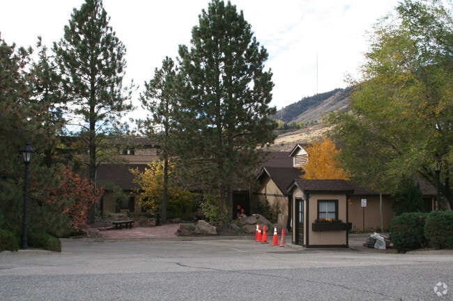

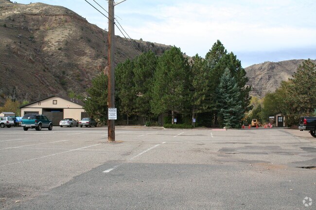

Property Detail
1630 8Th St
30-332-00-023
SECTION 28 TOWNSHIP 03 RANGE 70 QTR SW SIZE: 65776 VALUE: 1.510 KEY=063 SECTION 32 TOWNSHIP 03 RANGE 70 QTR NW SIZE: 61855 VALUE: 1.420 KEY=042
Commercialnec
JEFFERSON
B and X Area of moderate flood hazard, usually the area between the limits of the 100-year and 500-year floods.
Colorado
2023
2.93 AC
2024
West
009857
Denver
143,558 SF
Denver-Aurora-Centennial, CO
NEARBY LISTINGS FOR SALE OR LEASE
DEMOGRAPHICS near 1630 8Th St
1 mile
3 mile
5 mile
2025 Total Population
8,489
23,934
55,319
2030 Population
8,594
24,076
55,265
Pop Growth 2025-2030
+ 1.24%
+ 0.59%
(0.10%)
Average Age
37
39
42
2025 Total Households
3,129
9,383
21,818
HH Growth 2025-2030
+ 1.66%
+ 0.66%
(0.12%)
Median Household Inc
$91,395
$95,482
$123,646
Avg Household Size
2.20
2.20
2.40
2025 Avg HH Vehicles
2.00
2.00
2.00
Median Home Value
$934,350
$826,645
$838,715
Median Year Built
1989
1984
1983
Nearby Places
Map Layers
Map Styles
 Street
 Aerial
Transit
 Traffic
 Biking
Places
Listings with unknown addresses are not visible on the map
- Restaurants
- Banks
- Shops
- Fitness
- Groceries
PUBLIC TRANSPORTATION
COMMUTER RAIL
Drive
Walk
Distance
12 min
7.4 mi
Drive
Walk
Distance
12 min
8.4 mi
AIRPORT
Denver International
Drive
Walk
Distance
Denver International
47 min
36.0 mi
Nearby Properties
Address
Land Use
TOTAL SIZE
Lot Size
Zoning
Address
Land Use
TOTAL SIZE
Lot Size
Zoning
Address
Land Use
TOTAL SIZE
Lot Size
Zoning
367,452 SF
38.94 AC
Address
Land Use
TOTAL SIZE
Lot Size
Zoning
3,357,529 SF
32.87 AC
Address
Land Use
TOTAL SIZE
Lot Size
Zoning
420,482 SF
66.03 AC
Address
Land Use
TOTAL SIZE
Lot Size
Zoning
69,819 SF
1,402.21 AC
R1
Address
Land Use
TOTAL SIZE
Lot Size
Zoning
352,259 SF
17.94 AC
Address
Land Use
TOTAL SIZE
Lot Size
Zoning
589,966 SF
23.48 AC
Address
Land Use
TOTAL SIZE
Lot Size
Zoning
Address
Land Use
TOTAL SIZE
Lot Size
Zoning
156,531 SF
8.20 AC
Address
Land Use
TOTAL SIZE
Lot Size
Zoning
188,554 SF
33.28 AC
Address
Land Use
TOTAL SIZE
Lot Size
Zoning
198,147 SF
2.55 AC
Address
Land Use
TOTAL SIZE
Lot Size
Zoning
1,115,227 SF
84.74 AC
I2
Address
Land Use
TOTAL SIZE
Lot Size
Zoning
350,722 SF
73.85 AC
R1
Address
Land Use
TOTAL SIZE
Lot Size
Zoning
55,030 SF
4.94 AC
Address
Land Use
TOTAL SIZE
Lot Size
Zoning
454.79 AC
A2
Address
Land Use
TOTAL SIZE
Lot Size
Zoning
391,506 SF
10.02 AC
Address
Land Use
TOTAL SIZE
Lot Size
Zoning
68,773 SF
9.90 AC
Address
Land Use
TOTAL SIZE
Lot Size
Zoning
240,059 SF
58.36 AC
Address
Land Use
TOTAL SIZE
Lot Size
Zoning
129,753 SF
11.40 AC
Address
Land Use
TOTAL SIZE
Lot Size
Zoning
67,473 SF
6.90 AC
Address
Land Use
TOTAL SIZE
Lot Size
Zoning
206,151 SF
7.67 AC
Address
Land Use
TOTAL SIZE
Lot Size
Zoning
190,874 SF
17.36 AC
Address
Land Use
TOTAL SIZE
Lot Size
Zoning
90,663 SF
56.05 AC
Address
Land Use
TOTAL SIZE
Lot Size
Zoning
82,432 SF
1.62 AC
Address
Land Use
TOTAL SIZE
Lot Size
Zoning
173,500 SF
5.16 AC
Address
Land Use
TOTAL SIZE
Lot Size
Zoning
72,164 SF
8 AC
R2
Address
Land Use
TOTAL SIZE
Lot Size
Zoning
96,092 SF
6.82 AC
Address
Land Use
TOTAL SIZE
Lot Size
Zoning
39,277 SF
11.13 AC
Address
Land Use
TOTAL SIZE
Lot Size
Zoning
173,498 SF
42.86 AC
Address
Land Use
TOTAL SIZE
Lot Size
Zoning
180,193 SF
4.58 AC
The World's #1 Commercial Real Estate Marketplace
Connect with us
© 2026 CoStar Group
The information above has been obtained from sources believed reliable. While we do not doubt its accuracy we have not verified it and make no guarantee, warranty or representation about it. It is your responsibility to independently confirm its accuracy and completeness. Any projections, opinions, assumptions, or estimates used are for example only and do not represent the current or future performance of the property. The value of this transaction to you depends on tax and other factors which should be evaluated by your tax, financial, and legal advisors. You and your advisors should conduct a careful, independent investigation of the property to determine to your satisfaction the suitability of the property for your needs.