No Photo
Property Record
1633 W Arrowood Rd, Charlotte, NC 28217

NEARBY LISTINGS FOR SALE OR LEASE
Property Detail
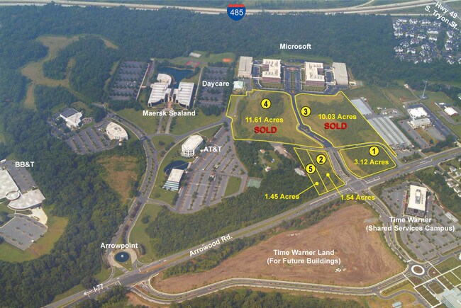
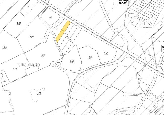
1633 W Arrowood Rd
Charlotte-Concord-Gastonia, NC-SC
Arrowood Farms
203-221-14
P33 M5-93
Commercialnec
Mecklenburg
X
North Carolina
3710452100K
14
2024
1.42 AC
2025
Airport
003811
Charlotte
1,674 SF
DEMOGRAPHICS near 1633 W Arrowood Rd
1 Mile
3 Mile
5 Mile
2024 Total Population
6,767
61,126
174,338
2029 Population
7,139
65,090
185,327
Pop Growth 2024-2029
+ 5.50%
+ 6.48%
+ 6.30%
Average Age
35
34
37
2024 Total Households
2,957
24,943
74,253
HH Growth 2024-2029
+ 5.55%
+ 6.51%
+ 6.30%
Median Household Inc
$63,350
$62,591
$73,818
Avg Household Size
2.20
2.40
2.30
2024 Avg HH Vehicles
1.00
2.00
2.00
Median Home Value
$167,355
$244,527
$336,934
Median Year Built
2000
1995
1994
Nearby Places
Map Layers
Map Styles
 Street
 Aerial
- Restaurants
- Banks
- Shops
- Fitness
- Groceries
PUBLIC TRANSPORTATION
COMMUTER RAIL
Charlotte Amtrak Station (Carolinian - Amtrak, Crescent - Amtrak, Piedmont - Amtrak)
DRIVE
WALK
Distance
Charlotte Amtrak Station (Carolinian - Amtrak, Crescent - Amtrak, Piedmont - Amtrak)
17 min
9.8 mi
AIRPORT
Charlotte/Douglas International
DRIVE
WALK
Distance
Charlotte/Douglas International
14 min
6.2 mi
Concord-Padgett Regional
DRIVE
WALK
Distance
Concord-Padgett Regional
37 min
24.6 mi
Freight Ports
North Charleston Terminal
DRIVE
WALK
Distance
North Charleston Terminal
218 min
192.5 mi
Nearby Properties
Address
Land Use
TOTAL SIZE
Lot Size
Zoning
Address
Land Use
TOTAL SIZE
Lot Size
Zoning
605,976 SF
46.31 AC
R17MF
Address
Land Use
TOTAL SIZE
Lot Size
Zoning
393,779 SF
26.71 AC
R17MF
Address
Land Use
TOTAL SIZE
Lot Size
Zoning
395,382 SF
9.84 AC
MUDDO
Address
Land Use
TOTAL SIZE
Lot Size
Zoning
408,632 SF
50 AC
R12MFCD
Address
Land Use
TOTAL SIZE
Lot Size
Zoning
381,729 SF
22.37 AC
R17MF
Address
Land Use
TOTAL SIZE
Lot Size
Zoning
371,416 SF
30.90 AC
BPCD
Address
Land Use
TOTAL SIZE
Lot Size
Zoning
298,298 SF
16.60 AC
R17MFCD
Address
Land Use
TOTAL SIZE
Lot Size
Zoning
1,007,888 SF
55.04 AC
G-I
Address
Land Use
TOTAL SIZE
Lot Size
Zoning
307,493 SF
24.47 AC
R12MFCD
Address
Land Use
TOTAL SIZE
Lot Size
Zoning
604,827 SF
41.01 AC
O1CD
Address
Land Use
TOTAL SIZE
Lot Size
Zoning
245,979 SF
7.60 AC
Address
Land Use
TOTAL SIZE
Lot Size
Zoning
302,196 SF
6.60 AC
I2
Address
Land Use
TOTAL SIZE
Lot Size
Zoning
289,148 SF
17.12 AC
Address
Land Use
TOTAL SIZE
Lot Size
Zoning
272,801 SF
12.90 AC
Address
Land Use
TOTAL SIZE
Lot Size
Zoning
305,078 SF
10.98 AC
Address
Land Use
TOTAL SIZE
Lot Size
Zoning
238,604 SF
25.85 AC
R12MF
Address
Land Use
TOTAL SIZE
Lot Size
Zoning
329,369 SF
23.03 AC
Address
Land Use
TOTAL SIZE
Lot Size
Zoning
267,294 SF
16.43 AC
NS
Address
Land Use
TOTAL SIZE
Lot Size
Zoning
1,396,936 SF
68.78 AC
I2
Address
Land Use
TOTAL SIZE
Lot Size
Zoning
899,731 SF
73.49 AC
Address
Land Use
TOTAL SIZE
Lot Size
Zoning
136,576 SF
4.75 AC
Address
Land Use
TOTAL SIZE
Lot Size
Zoning
254,393 SF
12.48 AC
Address
Land Use
TOTAL SIZE
Lot Size
Zoning
334,858 SF
40.40 AC
I-2
Address
Land Use
TOTAL SIZE
Lot Size
Zoning
857,532 SF
73.57 AC
I1
Address
Land Use
TOTAL SIZE
Lot Size
Zoning
290,427 SF
20.06 AC
R17MF
Address
Land Use
TOTAL SIZE
Lot Size
Zoning
258,799 SF
14.18 AC
R43MF
Address
Land Use
TOTAL SIZE
Lot Size
Zoning
212,904 SF
58.09 AC
INST
Address
Land Use
TOTAL SIZE
Lot Size
Zoning
273,184 SF
22.51 AC
O1
Address
Land Use
TOTAL SIZE
Lot Size
Zoning
301,671 SF
14.81 AC
Address
Land Use
TOTAL SIZE
Lot Size
Zoning
245,573 SF
23.62 AC
R12MFCD
The World's #1 Commercial Real Estate Marketplace
Connect with us
© 2025 CoStar Group
The information above has been obtained from sources believed reliable. While we do not doubt its accuracy we have not verified it and make no guarantee, warranty or representation about it. It is your responsibility to independently confirm its accuracy and completeness. Any projections, opinions, assumptions, or estimates used are for example only and do not represent the current or future performance of the property. The value of this transaction to you depends on tax and other factors which should be evaluated by your tax, financial, and legal advisors. You and your advisors should conduct a careful, independent investigation of the property to determine to your satisfaction the suitability of the property for your needs.