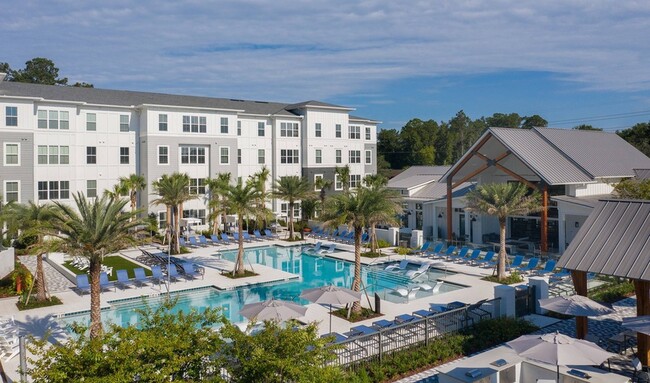
Property Record
1634 Sw 38Th Ter, Gainesville, FL 32607


Property Detail
1634 Sw 38Th Ter
06724-004-000
COM NE COR SEC S 89 DEG 16 MIN 00 SEC W 2647.69 FT S 00 DEG 47 MIN 03 SEC E 660 FT S 00 DEG 47 MIN 03 SEC E 1981.50 FT S 89 DEG 15 MIN 30 SEC W 50 FT S 00 DEG 47 MIN 03 SEC E 70.31 FT POB S 00 DEG 47 MIN 03 SEC E 826.61 FT S 89 DEG 16 MIN 50 SEC W 61
Multifamilydwelling
ALACHUA
U9
Florida
AE The base floodplain where base flood elevations are provided. AE Zones are now used on new format FIRMs instead of A1-A30 Zones.
9.89 AC
2025
West Gainesville
2025
Other Market Areas
001522
Gainesville, FL
205,916 SF
NEARBY LISTINGS FOR SALE OR LEASE
DEMOGRAPHICS near 1634 Sw 38Th Ter
1 mile
3 mile
5 mile
2025 Total Population
13,119
100,476
182,436
2030 Population
13,465
103,717
188,831
Pop Growth 2025-2030
+ 2.64%
+ 3.23%
+ 3.51%
Average Age
29
32
35
2025 Total Households
5,317
39,202
75,003
HH Growth 2025-2030
+ 2.80%
+ 3.76%
+ 4.02%
Median Household Inc
$36,284
$44,268
$56,454
Avg Household Size
1.90
2.10
2.20
2025 Avg HH Vehicles
1.00
1.00
2.00
Median Home Value
$201,852
$321,204
$329,717
Median Year Built
1986
1987
1986
Nearby Places
Map Layers
Map Styles
 Street
 Aerial
Layers
 Traffic
 Biking
Places
Listings with unknown addresses are not visible on the map
- Restaurants
- Banks
- Shops
- Fitness
- Groceries
PUBLIC TRANSPORTATION
AIRPORT
Gainesville Regional
Drive
Walk
Distance
Gainesville Regional
24 min
10.0 mi
Freight Ports
Jacksonville Port
Drive
Walk
Distance
Jacksonville Port
110 min
79.9 mi
Nearby Properties
Address
Land Use
TOTAL SIZE
Lot Size
Zoning
Address
Land Use
TOTAL SIZE
Lot Size
Zoning
3,617,778 SF
276.74 AC
ED
Address
Land Use
TOTAL SIZE
Lot Size
Zoning
790,340 SF
526 AC
ED
Address
Land Use
TOTAL SIZE
Lot Size
Zoning
698,640 SF
24.04 AC
U9
Address
Land Use
TOTAL SIZE
Lot Size
Zoning
108,640 SF
20 AC
ED
Address
Land Use
TOTAL SIZE
Lot Size
Zoning
17.87 AC
ED
Address
Land Use
TOTAL SIZE
Lot Size
Zoning
382,760 SF
109.58 AC
MD
Address
Land Use
TOTAL SIZE
Lot Size
Zoning
430,590 SF
16.95 AC
ED
Address
Land Use
TOTAL SIZE
Lot Size
Zoning
682,400 SF
20 AC
ED
Address
Land Use
TOTAL SIZE
Lot Size
Zoning
959,910 SF
2.50 AC
PD
Address
Land Use
TOTAL SIZE
Lot Size
Zoning
399,130 SF
18.13 AC
ED
Address
Land Use
TOTAL SIZE
Lot Size
Zoning
1,005,666 SF
11.60 AC
MD
Address
Land Use
TOTAL SIZE
Lot Size
Zoning
20.95 AC
MD
Address
Land Use
TOTAL SIZE
Lot Size
Zoning
1,142,852 SF
106.08 AC
PD
Address
Land Use
TOTAL SIZE
Lot Size
Zoning
416,200 SF
20 AC
ED
Address
Land Use
TOTAL SIZE
Lot Size
Zoning
334,819 SF
1.79 AC
U9
Address
Land Use
TOTAL SIZE
Lot Size
Zoning
325,519 SF
1.25 AC
U8
Address
Land Use
TOTAL SIZE
Lot Size
Zoning
582,311 SF
20 AC
ED
Address
Land Use
TOTAL SIZE
Lot Size
Zoning
348,458 SF
81.44 AC
ED
Address
Land Use
TOTAL SIZE
Lot Size
Zoning
372,990 SF
20 AC
ED
Address
Land Use
TOTAL SIZE
Lot Size
Zoning
357,020 SF
20 AC
ED
Address
Land Use
TOTAL SIZE
Lot Size
Zoning
508,106 SF
27.40 AC
PD
Address
Land Use
TOTAL SIZE
Lot Size
Zoning
233,910 SF
3.64 AC
PD
Address
Land Use
TOTAL SIZE
Lot Size
Zoning
571,635 SF
55.49 AC
RMF6
Address
Land Use
TOTAL SIZE
Lot Size
Zoning
392,241 SF
25 AC
U9
Address
Land Use
TOTAL SIZE
Lot Size
Zoning
271,079 SF
0.94 AC
PD
Address
Land Use
TOTAL SIZE
Lot Size
Zoning
279,647 SF
1.66 AC
PD
Address
Land Use
TOTAL SIZE
Lot Size
Zoning
117,563 SF
1.61 AC
U8
Address
Land Use
TOTAL SIZE
Lot Size
Zoning
490,069 SF
40.15 AC
RMF8
Address
Land Use
TOTAL SIZE
Lot Size
Zoning
362,539 SF
2.11 AC
U8
Address
Land Use
TOTAL SIZE
Lot Size
Zoning
414,780 SF
1.99 AC
PD
The World's #1 Commercial Real Estate Marketplace
Connect with us
© 2026 CoStar Group
The information above has been obtained from sources believed reliable. While we do not doubt its accuracy we have not verified it and make no guarantee, warranty or representation about it. It is your responsibility to independently confirm its accuracy and completeness. Any projections, opinions, assumptions, or estimates used are for example only and do not represent the current or future performance of the property. The value of this transaction to you depends on tax and other factors which should be evaluated by your tax, financial, and legal advisors. You and your advisors should conduct a careful, independent investigation of the property to determine to your satisfaction the suitability of the property for your needs.