Property Record
1635 Manitou Rd, Rochester, NY 14626


NEARBY LISTINGS FOR SALE OR LEASE
Property Detail
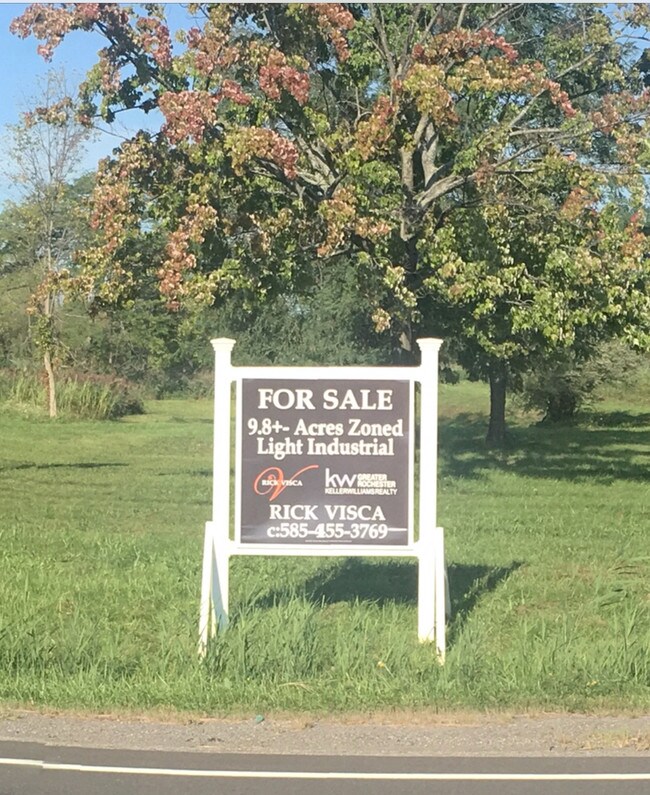
1635 Manitou Rd
Rochester, NY
Gore
264089-072-020-0002-001-000
GORE TR L18 TWP4 R1 SUB MAP 57-28 000000000680864
Gasolinefuelbulkstorage
Monroe
X
New York
36055C0157G
1.100
2025
9.98 AC
2024
Northwest
014802
Rochester
10,000 SF
DEMOGRAPHICS near 1635 Manitou Rd
1 Mile
3 Mile
5 Mile
2024 Total Population
2,240
29,527
95,717
2029 Population
2,210
29,087
94,231
Pop Growth 2024-2029
(1.34%)
(1.49%)
(1.55%)
Average Age
41
44
44
2024 Total Households
851
12,154
40,048
HH Growth 2024-2029
(1.41%)
(1.60%)
(1.64%)
Median Household Inc
$91,987
$78,930
$75,057
Avg Household Size
2.60
2.40
2.30
2024 Avg HH Vehicles
2.00
2.00
2.00
Median Home Value
$233,152
$190,628
$171,828
Median Year Built
1994
1984
1977
Nearby Places
Map Layers
Map Styles
 Street
 Aerial
- Restaurants
- Banks
- Shops
- Fitness
- Groceries
PUBLIC TRANSPORTATION
AIRPORT
Frederick Douglass/Greater Rochester International
DRIVE
WALK
Distance
Frederick Douglass/Greater Rochester International
18 min
12.0 mi
Freight Ports
Albany, NY Port
DRIVE
WALK
Distance
Albany, NY Port
282 min
237.9 mi
SALE & LEASE HISTORY
LISTING DATE
SALE/LEASE

May 22, 2019
For Sale
Nearby Properties
Address
Land Use
TOTAL SIZE
Lot Size
Zoning
Address
Land Use
TOTAL SIZE
Lot Size
Zoning
149,427 SF
10.90 AC
R-1
Address
Land Use
TOTAL SIZE
Lot Size
Zoning
3,710 SF
30.20 AC
05 - COMME
Address
Land Use
TOTAL SIZE
Lot Size
Zoning
565.09 AC
Address
Land Use
TOTAL SIZE
Lot Size
Zoning
180,566 SF
13.30 AC
R-1
Address
Land Use
TOTAL SIZE
Lot Size
Zoning
116,394 SF
28.72 AC
05 - COMME
Address
Land Use
TOTAL SIZE
Lot Size
Zoning
136,148 SF
12.53 AC
Address
Land Use
TOTAL SIZE
Lot Size
Zoning
60,509 SF
29.40 AC
R-1
Address
Land Use
TOTAL SIZE
Lot Size
Zoning
1.70 AC
Address
Land Use
TOTAL SIZE
Lot Size
Zoning
9,661 SF
19.62 AC
05 - COMME
Address
Land Use
TOTAL SIZE
Lot Size
Zoning
44,643 SF
5.80 AC
05 - COMME
Address
Land Use
TOTAL SIZE
Lot Size
Zoning
7,120 SF
23.10 AC
Address
Land Use
TOTAL SIZE
Lot Size
Zoning
8,386 SF
15.50 AC
MFR
Address
Land Use
TOTAL SIZE
Lot Size
Zoning
65,962 SF
19.71 AC
Address
Land Use
TOTAL SIZE
Lot Size
Zoning
49,100 SF
10.83 AC
05 - COMME
Address
Land Use
TOTAL SIZE
Lot Size
Zoning
2,572 SF
26.40 AC
Address
Land Use
TOTAL SIZE
Lot Size
Zoning
36,320 SF
9.97 AC
05 - COMME
Address
Land Use
TOTAL SIZE
Lot Size
Zoning
12,100 SF
15.63 AC
05 - COMME
Address
Land Use
TOTAL SIZE
Lot Size
Zoning
32,415 SF
9.18 AC
Address
Land Use
TOTAL SIZE
Lot Size
Zoning
42,944 SF
8.04 AC
05 - COMME
Address
Land Use
TOTAL SIZE
Lot Size
Zoning
30,650 SF
8.08 AC
02 - SINGL
Address
Land Use
TOTAL SIZE
Lot Size
Zoning
41,255 SF
9.03 AC
05 - COMME
Address
Land Use
TOTAL SIZE
Lot Size
Zoning
13,764 SF
10.90 AC
MFR
Address
Land Use
TOTAL SIZE
Lot Size
Zoning
56,856 SF
15 AC
Address
Land Use
TOTAL SIZE
Lot Size
Zoning
119,491 SF
13.57 AC
Address
Land Use
TOTAL SIZE
Lot Size
Zoning
103,760 SF
9.63 AC
Address
Land Use
TOTAL SIZE
Lot Size
Zoning
3,640 SF
12.74 AC
05 - COMME
Address
Land Use
TOTAL SIZE
Lot Size
Zoning
131,408 SF
10.43 AC
05 - COMME
Address
Land Use
TOTAL SIZE
Lot Size
Zoning
114,663 SF
11.81 AC
Address
Land Use
TOTAL SIZE
Lot Size
Zoning
86,965 SF
8.25 AC
Address
Land Use
TOTAL SIZE
Lot Size
Zoning
76,560 SF
8.59 AC
05 - COMME
The World's #1 Commercial Real Estate Marketplace
Connect with us
© 2026 CoStar Group
The information above has been obtained from sources believed reliable. While we do not doubt its accuracy we have not verified it and make no guarantee, warranty or representation about it. It is your responsibility to independently confirm its accuracy and completeness. Any projections, opinions, assumptions, or estimates used are for example only and do not represent the current or future performance of the property. The value of this transaction to you depends on tax and other factors which should be evaluated by your tax, financial, and legal advisors. You and your advisors should conduct a careful, independent investigation of the property to determine to your satisfaction the suitability of the property for your needs.