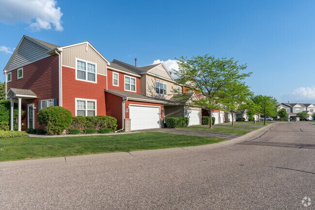
Property Record
1650 White Pine Way, Carver, MN 55315
Property Detail
1650 White Pine Way
Minneapolis-St. Paul-Bloomington, MN-WI
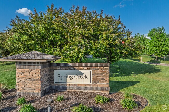
CARVER
20.1400580
Minnesota
Miscellaneous
32
B and X Area of moderate flood hazard, usually the area between the limits of the 100-year and 500-year floods.
0.69 AC
0
Carver County
2025
Minneapolis/St Paul
091100
NEARBY LISTINGS FOR SALE OR LEASE
-
-
View all Carver listings for sale on LoopNet.com
DEMOGRAPHICS near 1650 White Pine Way
1 mile
3 mile
5 mile
2025 Total Population
5,237
15,101
43,575
2030 Population
5,593
15,968
45,609
Pop Growth 2025-2030
+ 6.80%
+ 5.74%
+ 4.67%
Average Age
37
37
39
2025 Total Households
1,745
5,291
15,677
HH Growth 2025-2030
+ 7.05%
+ 5.80%
+ 4.71%
Median Household Inc
$133,635
$130,734
$120,249
Avg Household Size
3.00
2.80
2.70
2025 Avg HH Vehicles
2.00
2.00
2.00
Median Home Value
$432,908
$416,386
$411,114
Median Year Built
2005
2001
1997
Nearby Places
Map Layers
Map Styles
 Street
 Aerial
Layers
 Traffic
 Biking
Places
Listings with unknown addresses are not visible on the map
- Restaurants
- Banks
- Shops
- Fitness
- Groceries
PUBLIC TRANSPORTATION
AIRPORT
Minneapolis-St Paul International/Wold-Chamberlain
Drive
Walk
Distance
Minneapolis-St Paul International/Wold-Chamberlain
35 min
26.1 mi
Freight Ports
Port Milwaukee
Drive
Walk
Distance
Port Milwaukee
404 min
363.3 mi
Nearby Properties
Address
Land Use
TOTAL SIZE
Lot Size
Zoning
Address
Land Use
TOTAL SIZE
Lot Size
Zoning
20,086 SF
12.99 AC
Address
Land Use
TOTAL SIZE
Lot Size
Zoning
254,602 SF
18.19 AC
Address
Land Use
TOTAL SIZE
Lot Size
Zoning
20.18 AC
Address
Land Use
TOTAL SIZE
Lot Size
Zoning
10.40 AC
Address
Land Use
TOTAL SIZE
Lot Size
Zoning
17.50 AC
Address
Land Use
TOTAL SIZE
Lot Size
Zoning
Address
Land Use
TOTAL SIZE
Lot Size
Zoning
1.11 AC
Address
Land Use
TOTAL SIZE
Lot Size
Zoning
33,982 SF
0.38 AC
Address
Land Use
TOTAL SIZE
Lot Size
Zoning
3.75 AC
Address
Land Use
TOTAL SIZE
Lot Size
Zoning
255,630 SF
27.07 AC
Address
Land Use
TOTAL SIZE
Lot Size
Zoning
6.32 AC
Address
Land Use
TOTAL SIZE
Lot Size
Zoning
119.59 AC
I-2
Address
Land Use
TOTAL SIZE
Lot Size
Zoning
6.08 AC
Address
Land Use
TOTAL SIZE
Lot Size
Zoning
92,380 SF
20.05 AC
I-2
Address
Land Use
TOTAL SIZE
Lot Size
Zoning
100.55 AC
Address
Land Use
TOTAL SIZE
Lot Size
Zoning
157.60 AC
I-1
Address
Land Use
TOTAL SIZE
Lot Size
Zoning
29,674 SF
4.29 AC
Address
Land Use
TOTAL SIZE
Lot Size
Zoning
83.14 AC
Address
Land Use
TOTAL SIZE
Lot Size
Zoning
5,940 SF
1.52 AC
Address
Land Use
TOTAL SIZE
Lot Size
Zoning
100,524 SF
3.57 AC
Address
Land Use
TOTAL SIZE
Lot Size
Zoning
100,524 SF
2.72 AC
Address
Land Use
TOTAL SIZE
Lot Size
Zoning
Address
Land Use
TOTAL SIZE
Lot Size
Zoning
19,108 SF
1.51 AC
Address
Land Use
TOTAL SIZE
Lot Size
Zoning
13,168 SF
4.27 AC
Address
Land Use
TOTAL SIZE
Lot Size
Zoning
13,383 SF
1.05 AC
Address
Land Use
TOTAL SIZE
Lot Size
Zoning
11,616 SF
1.75 AC
Address
Land Use
TOTAL SIZE
Lot Size
Zoning
2.10 AC
Address
Land Use
TOTAL SIZE
Lot Size
Zoning
480 SF
278.98 AC
Address
Land Use
TOTAL SIZE
Lot Size
Zoning
23,000 SF
2.50 AC
Address
Land Use
TOTAL SIZE
Lot Size
Zoning
3.72 AC
The World's #1 Commercial Real Estate Marketplace
Connect with us
© 2026 CoStar Group
The information above has been obtained from sources believed reliable. While we do not doubt its accuracy we have not verified it and make no guarantee, warranty or representation about it. It is your responsibility to independently confirm its accuracy and completeness. Any projections, opinions, assumptions, or estimates used are for example only and do not represent the current or future performance of the property. The value of this transaction to you depends on tax and other factors which should be evaluated by your tax, financial, and legal advisors. You and your advisors should conduct a careful, independent investigation of the property to determine to your satisfaction the suitability of the property for your needs.