Property Record
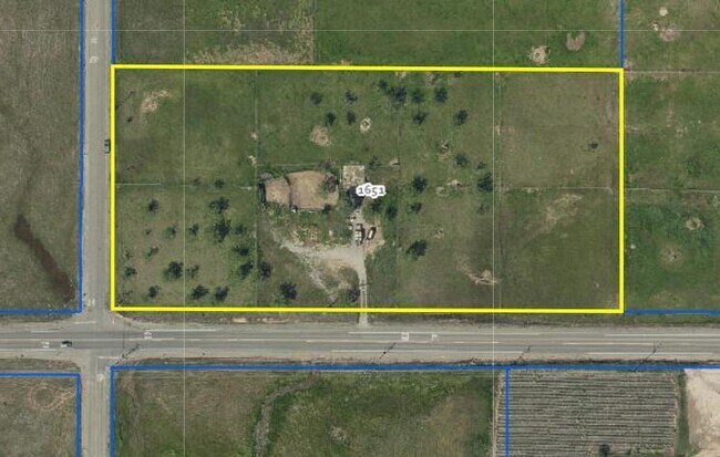
1651 Elverta Rd, Elverta, CA 95626

Property Detail
1651 Elverta Rd
203-0040-004
S 1/2 OF SW 1/4 OF SW 1/4 OF SW 1/4 SEC 15 TWP 10 N R 5 E M D B & M EXC 51 PERCENT INT IN MINERAL RIGHTS
Residentialacreage
SACRAMENTO
BP
California
B and X Area of moderate flood hazard, usually the area between the limits of the 100-year and 500-year floods.
4.51 AC
2024
Rio Linda/N Highlands
2025
Sacramento
007206
Sacramento-Roseville-Folsom, CA
1 SF
NEARBY LISTINGS FOR SALE OR LEASE
DEMOGRAPHICS near 1651 Elverta Rd
1 mile
3 mile
5 mile
2025 Total Population
1,851
38,803
166,038
2030 Population
1,801
38,785
169,299
Pop Growth 2025-2030
(2.70%)
(0.05%)
+ 1.96%
Average Age
43
39
38
2025 Total Households
612
12,220
53,028
HH Growth 2025-2030
(2.61%)
(0.03%)
+ 2.12%
Median Household Inc
$97,602
$92,635
$89,698
Avg Household Size
3.00
3.10
3.00
2025 Avg HH Vehicles
3.00
2.00
2.00
Median Home Value
$544,956
$469,843
$472,436
Median Year Built
1980
1981
1986
Nearby Places
Map Layers
Map Styles
 Street
 Aerial
Layers
 Traffic
 Biking
Places
Listings with unknown addresses are not visible on the map
- Restaurants
- Banks
- Shops
- Fitness
- Groceries
PUBLIC TRANSPORTATION
COMMUTER RAIL
Drive
Walk
Distance
17 min
9.3 mi
AIRPORT
Sacramento International
Drive
Walk
Distance
Sacramento International
22 min
13.7 mi
SALE & LEASE HISTORY
LISTING DATE
SALE/LEASE

Mar 03, 2020
For Sale
Dec 16, 2019
For Sale
The World's #1 Commercial Real Estate Marketplace
Connect with us
© 2026 CoStar Group
The information above has been obtained from sources believed reliable. While we do not doubt its accuracy we have not verified it and make no guarantee, warranty or representation about it. It is your responsibility to independently confirm its accuracy and completeness. Any projections, opinions, assumptions, or estimates used are for example only and do not represent the current or future performance of the property. The value of this transaction to you depends on tax and other factors which should be evaluated by your tax, financial, and legal advisors. You and your advisors should conduct a careful, independent investigation of the property to determine to your satisfaction the suitability of the property for your needs.