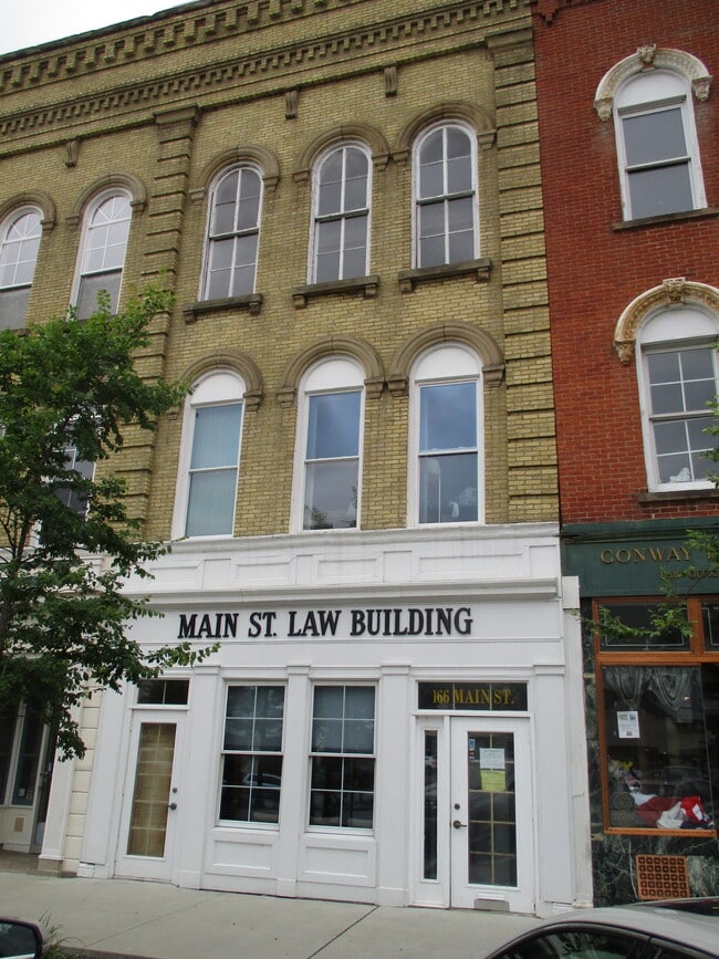
Property Record
166 Main St, Painesville, OH 44077
NEARBY LISTINGS FOR SALE OR LEASE
Property Detail
166 Main St
Cleveland-Elyria, OH
Champion
15-B-001-B-00-022
PAINESVILLE LOT TRACT 3 PART OF LOT 57 & 58
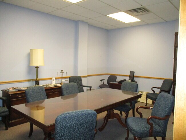
Officebuilding
Lake
X
Ohio
39085C0126F
57,58
0
0.03 AC
2024
Northeast
204500
Cleveland
4,320 SF
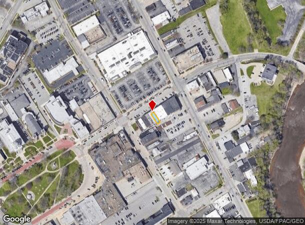
DEMOGRAPHICS near 166 Main St
1 Mile
3 Mile
5 Mile
2024 Total Population
9,607
41,328
72,297
2029 Population
9,590
41,350
72,089
Pop Growth 2024-2029
(0.18%)
+ 0.05%
(0.29%)
Average Age
37
40
42
2024 Total Households
3,633
16,545
29,193
HH Growth 2024-2029
(0.25%)
0.00%
(0.34%)
Median Household Inc
$43,453
$65,569
$78,766
Avg Household Size
2.40
2.40
2.40
2024 Avg HH Vehicles
2.00
2.00
2.00
Median Home Value
$116,003
$162,822
$194,682
Median Year Built
1956
1971
1976
Nearby Places
Map Layers
Map Styles
 Street
 Aerial
- Restaurants
- Banks
- Shops
- Fitness
- Groceries
PUBLIC TRANSPORTATION
AIRPORT
Cleveland-Hopkins International
DRIVE
WALK
Distance
Cleveland-Hopkins International
57 min
43.1 mi
SALE & LEASE HISTORY
LISTING DATE
SALE/LEASE

Jan 09, 2024
For Sale
Nearby Properties
Address
Land Use
TOTAL SIZE
Lot Size
Zoning
Address
Land Use
TOTAL SIZE
Lot Size
Zoning
160,976 SF
3.31 AC
B-4
Address
Land Use
TOTAL SIZE
Lot Size
Zoning
165,749 SF
8 AC
R-1
Address
Land Use
TOTAL SIZE
Lot Size
Zoning
243,207 SF
43.47 AC
R-3
Address
Land Use
TOTAL SIZE
Lot Size
Zoning
78,850 SF
Address
Land Use
TOTAL SIZE
Lot Size
Zoning
57,904 SF
3.61 AC
Address
Land Use
TOTAL SIZE
Lot Size
Zoning
16,955 SF
69.10 AC
B3
Address
Land Use
TOTAL SIZE
Lot Size
Zoning
197,433 SF
26.82 AC
R-1
Address
Land Use
TOTAL SIZE
Lot Size
Zoning
113,375 SF
2.73 AC
B-3
Address
Land Use
TOTAL SIZE
Lot Size
Zoning
82,044 SF
8.79 AC
Address
Land Use
TOTAL SIZE
Lot Size
Zoning
111,506 SF
9.84 AC
Address
Land Use
TOTAL SIZE
Lot Size
Zoning
137,183 SF
12.35 AC
Address
Land Use
TOTAL SIZE
Lot Size
Zoning
198,502 SF
39.56 AC
Address
Land Use
TOTAL SIZE
Lot Size
Zoning
Address
Land Use
TOTAL SIZE
Lot Size
Zoning
57,744 SF
3.29 AC
Address
Land Use
TOTAL SIZE
Lot Size
Zoning
163,586 SF
24.91 AC
Address
Land Use
TOTAL SIZE
Lot Size
Zoning
59,448 SF
Address
Land Use
TOTAL SIZE
Lot Size
Zoning
400,874 SF
26.37 AC
I-2
Address
Land Use
TOTAL SIZE
Lot Size
Zoning
136,138 SF
15.25 AC
Address
Land Use
TOTAL SIZE
Lot Size
Zoning
51,672 SF
Address
Land Use
TOTAL SIZE
Lot Size
Zoning
42,089 SF
7.33 AC
Address
Land Use
TOTAL SIZE
Lot Size
Zoning
47,436 SF
16.83 AC
R1
Address
Land Use
TOTAL SIZE
Lot Size
Zoning
83,837 SF
9.43 AC
B-3
Address
Land Use
TOTAL SIZE
Lot Size
Zoning
185,837 SF
10.28 AC
B-3
Address
Land Use
TOTAL SIZE
Lot Size
Zoning
153,534 SF
36.47 AC
I2
Address
Land Use
TOTAL SIZE
Lot Size
Zoning
51,576 SF
Address
Land Use
TOTAL SIZE
Lot Size
Zoning
78,810 SF
8.15 AC
R-1
Address
Land Use
TOTAL SIZE
Lot Size
Zoning
Address
Land Use
TOTAL SIZE
Lot Size
Zoning
74,502 SF
11.47 AC
R-1
Address
Land Use
TOTAL SIZE
Lot Size
Zoning
8,556 SF
74.61 AC
R-1
Address
Land Use
TOTAL SIZE
Lot Size
Zoning
74,502 SF
6.35 AC
R-1
The World's #1 Commercial Real Estate Marketplace
Connect with us
© 2025 CoStar Group
The information above has been obtained from sources believed reliable. While we do not doubt its accuracy we have not verified it and make no guarantee, warranty or representation about it. It is your responsibility to independently confirm its accuracy and completeness. Any projections, opinions, assumptions, or estimates used are for example only and do not represent the current or future performance of the property. The value of this transaction to you depends on tax and other factors which should be evaluated by your tax, financial, and legal advisors. You and your advisors should conduct a careful, independent investigation of the property to determine to your satisfaction the suitability of the property for your needs.