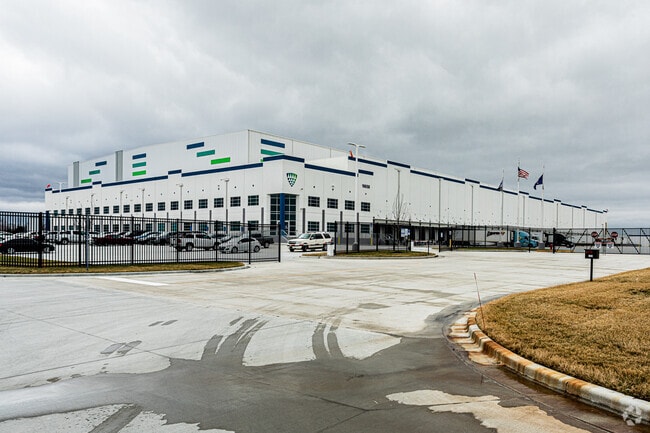
Property Record
16650 S Erickson St, Olathe, KS 66062

Property Detail
16650 S Erickson St
DP40050000-0002
LONE ELM COMMERCE CENTER THIRD PLAT, LOT 2
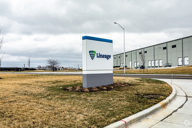
Shipyard
JOHNSON
M-2
Kansas
B and X Area of moderate flood hazard, usually the area between the limits of the 100-year and 500-year floods.
2
2024
57.95 AC
2025
Olathe
053603
Kansas City
320,835 SF
Kansas City, MO-KS
NEARBY LISTINGS FOR SALE OR LEASE
-
-
-
-
-
-
No Photo
-
-
View all Olathe listings for sale on LoopNet.com
DEMOGRAPHICS near 16650 S Erickson St
1 mile
3 mile
5 mile
2025 Total Population
49
13,396
99,875
2030 Population
52
13,943
103,276
Pop Growth 2025-2030
+ 6.12%
+ 4.08%
+ 3.41%
Average Age
52
39
37
2025 Total Households
18
4,410
34,019
HH Growth 2025-2030
+ 5.56%
+ 4.51%
+ 3.56%
Median Household Inc
$48,749
$112,236
$102,894
Avg Household Size
2.10
2.80
2.80
2025 Avg HH Vehicles
1.00
2.00
2.00
Median Home Value
$425,000
$378,647
$338,090
Median Year Built
2002
2001
1993
Nearby Places
Map Layers
Map Styles
 Street
 Aerial
Transit
 Traffic
 Biking
Places
Listings with unknown addresses are not visible on the map
- Restaurants
- Banks
- Shops
- Fitness
- Groceries
Nearby Properties
Address
Land Use
TOTAL SIZE
Lot Size
Zoning
Address
Land Use
TOTAL SIZE
Lot Size
Zoning
401,604 SF
28.35 AC
CP-O
Address
Land Use
TOTAL SIZE
Lot Size
Zoning
1,060,732 SF
57.62 AC
MP-2
Address
Land Use
TOTAL SIZE
Lot Size
Zoning
71,086 SF
22.76 AC
R-3
Address
Land Use
TOTAL SIZE
Lot Size
Zoning
720,320 SF
39.19 AC
MP-2
Address
Land Use
TOTAL SIZE
Lot Size
Zoning
746,120 SF
PEC3
Address
Land Use
TOTAL SIZE
Lot Size
Zoning
130,576 SF
15.20 AC
RP-4
Address
Land Use
TOTAL SIZE
Lot Size
Zoning
648,070 SF
33.46 AC
MP-1
Address
Land Use
TOTAL SIZE
Lot Size
Zoning
522,478 SF
45.72 AC
PEC3
Address
Land Use
TOTAL SIZE
Lot Size
Zoning
569,960 SF
26.86 AC
M-2
Address
Land Use
TOTAL SIZE
Lot Size
Zoning
565,272 SF
24.79 AC
RUR
Address
Land Use
TOTAL SIZE
Lot Size
Zoning
508,664 SF
29.46 AC
MP-2
Address
Land Use
TOTAL SIZE
Lot Size
Zoning
499,084 SF
28.99 AC
RUR
Address
Land Use
TOTAL SIZE
Lot Size
Zoning
106,819 SF
14.43 AC
PEC3
Address
Land Use
TOTAL SIZE
Lot Size
Zoning
236,108 SF
12.38 AC
R-1
Address
Land Use
TOTAL SIZE
Lot Size
Zoning
188,944 SF
31.48 AC
R-1
Address
Land Use
TOTAL SIZE
Lot Size
Zoning
228,577 SF
17.11 AC
M-2
Address
Land Use
TOTAL SIZE
Lot Size
Zoning
70,643 SF
18.45 AC
RP-1
Address
Land Use
TOTAL SIZE
Lot Size
Zoning
331,712 SF
PEC3
Address
Land Use
TOTAL SIZE
Lot Size
Zoning
1,107,600 SF
50.97 AC
MP-1
Address
Land Use
TOTAL SIZE
Lot Size
Zoning
75,560 SF
32.62 AC
CTY RUR
Address
Land Use
TOTAL SIZE
Lot Size
Zoning
320,891 SF
39.07 AC
M-2
Address
Land Use
TOTAL SIZE
Lot Size
Zoning
11,271 SF
4.26 AC
PEC3
Address
Land Use
TOTAL SIZE
Lot Size
Zoning
244,992 SF
15.75 AC
MP-2
Address
Land Use
TOTAL SIZE
Lot Size
Zoning
212,032 SF
9.53 AC
RUR
Address
Land Use
TOTAL SIZE
Lot Size
Zoning
141,540 SF
9.23 AC
R-1
Address
Land Use
TOTAL SIZE
Lot Size
Zoning
205,752 SF
15.50 AC
M-2
Address
Land Use
TOTAL SIZE
Lot Size
Zoning
158.84 AC
RUR
The World's #1 Commercial Real Estate Marketplace
Connect with us
© 2026 CoStar Group
The information above has been obtained from sources believed reliable. While we do not doubt its accuracy we have not verified it and make no guarantee, warranty or representation about it. It is your responsibility to independently confirm its accuracy and completeness. Any projections, opinions, assumptions, or estimates used are for example only and do not represent the current or future performance of the property. The value of this transaction to you depends on tax and other factors which should be evaluated by your tax, financial, and legal advisors. You and your advisors should conduct a careful, independent investigation of the property to determine to your satisfaction the suitability of the property for your needs.