Property Record
167 Shore Rd, Westerly, RI 02891

Property Detail
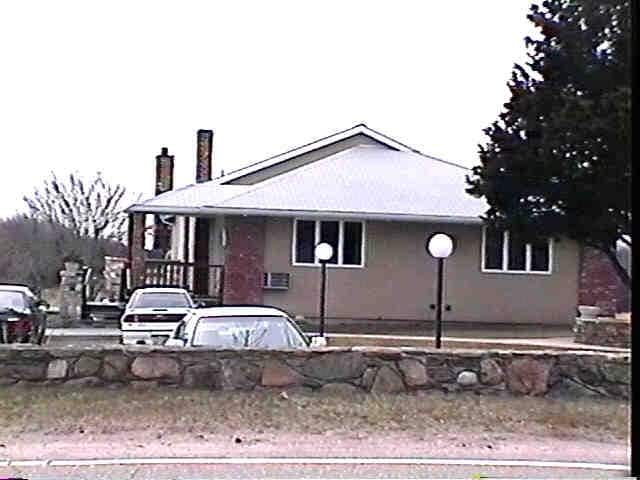
167 Shore Rd
WEST-000140-000015
Washington
Commercialbuilding
Rhode Island
C and X Area of minimal flood hazard, usually depicted on FIRMs as above the 500-year flood level.
0.33 AC
2025
Washington County
2025
Providence
051000
Providence-Warwick, RI-MA
4,590 SF
NEARBY LISTINGS FOR SALE OR LEASE
DEMOGRAPHICS near 167 Shore Rd
1 mile
3 mile
5 mile
2025 Total Population
1,558
15,097
32,004
2030 Population
1,645
15,431
32,174
Pop Growth 2025-2030
+ 5.58%
+ 2.21%
+ 0.53%
Average Age
52
49
47
2025 Total Households
693
6,839
14,306
HH Growth 2025-2030
+ 5.77%
+ 2.25%
+ 0.50%
Median Household Inc
$137,013
$109,461
$96,298
Avg Household Size
2.20
2.20
2.20
2025 Avg HH Vehicles
2.00
2.00
2.00
Median Home Value
$751,412
$544,713
$480,624
Median Year Built
1984
1976
1972
Nearby Places
Map Layers
Map Styles
 Street
 Aerial
Transit
 Traffic
 Biking
Places
Listings with unknown addresses are not visible on the map
- Restaurants
- Banks
- Shops
- Fitness
- Groceries
PUBLIC TRANSPORTATION
COMMUTER RAIL
Drive
Walk
Distance
9 min
4.8 mi
AIRPORT
Rhode Island Tf Green International
Drive
Walk
Distance
Rhode Island Tf Green International
58 min
41.4 mi
Nearby Properties
Address
Land Use
TOTAL SIZE
Lot Size
Zoning
Address
Land Use
TOTAL SIZE
Lot Size
Zoning
10.60 AC
Address
Land Use
TOTAL SIZE
Lot Size
Zoning
157,662 SF
27.62 AC
Address
Land Use
TOTAL SIZE
Lot Size
Zoning
154,316 SF
4.57 AC
Address
Land Use
TOTAL SIZE
Lot Size
Zoning
25.60 AC
Address
Land Use
TOTAL SIZE
Lot Size
Zoning
21.25 AC
Address
Land Use
TOTAL SIZE
Lot Size
Zoning
3.11 AC
Address
Land Use
TOTAL SIZE
Lot Size
Zoning
14.24 AC
Address
Land Use
TOTAL SIZE
Lot Size
Zoning
17,993 SF
13.03 AC
Address
Land Use
TOTAL SIZE
Lot Size
Zoning
14.04 AC
Address
Land Use
TOTAL SIZE
Lot Size
Zoning
103.50 AC
Address
Land Use
TOTAL SIZE
Lot Size
Zoning
5,500 SF
14.88 AC
Address
Land Use
TOTAL SIZE
Lot Size
Zoning
2.11 AC
Address
Land Use
TOTAL SIZE
Lot Size
Zoning
117,852 SF
19.78 AC
Address
Land Use
TOTAL SIZE
Lot Size
Zoning
43,251 SF
Address
Land Use
TOTAL SIZE
Lot Size
Zoning
0.94 AC
Address
Land Use
TOTAL SIZE
Lot Size
Zoning
248.11 AC
Address
Land Use
TOTAL SIZE
Lot Size
Zoning
40.80 AC
M-1
Address
Land Use
TOTAL SIZE
Lot Size
Zoning
7.79 AC
Address
Land Use
TOTAL SIZE
Lot Size
Zoning
Address
Land Use
TOTAL SIZE
Lot Size
Zoning
47,737 SF
9.96 AC
Address
Land Use
TOTAL SIZE
Lot Size
Zoning
31,018 SF
4.05 AC
Address
Land Use
TOTAL SIZE
Lot Size
Zoning
60,968 SF
8 AC
RA-15
Address
Land Use
TOTAL SIZE
Lot Size
Zoning
7.65 AC
Address
Land Use
TOTAL SIZE
Lot Size
Zoning
28,760 SF
Address
Land Use
TOTAL SIZE
Lot Size
Zoning
142.05 AC
Address
Land Use
TOTAL SIZE
Lot Size
Zoning
10.61 AC
Address
Land Use
TOTAL SIZE
Lot Size
Zoning
0.31 AC
Address
Land Use
TOTAL SIZE
Lot Size
Zoning
2,260 SF
4.32 AC
Address
Land Use
TOTAL SIZE
Lot Size
Zoning
121,068 SF
2.53 AC
M-1
Address
Land Use
TOTAL SIZE
Lot Size
Zoning
49,103 SF
12.11 AC
The World's #1 Commercial Real Estate Marketplace
Connect with us
© 2026 CoStar Group
The information above has been obtained from sources believed reliable. While we do not doubt its accuracy we have not verified it and make no guarantee, warranty or representation about it. It is your responsibility to independently confirm its accuracy and completeness. Any projections, opinions, assumptions, or estimates used are for example only and do not represent the current or future performance of the property. The value of this transaction to you depends on tax and other factors which should be evaluated by your tax, financial, and legal advisors. You and your advisors should conduct a careful, independent investigation of the property to determine to your satisfaction the suitability of the property for your needs.