Property Record
1682 E 41St St, Los Angeles, CA 90011


Property Detail
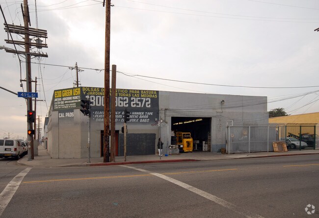
1682 E 41St St
5116-013-008
ELDER PLACE # 2 LOT 10 AND LOT COM AT NWCOR OF LOT 11 TH SE ON NE LINE OF SD LOT0.93 FT TH SW TO SW LINE OF SD LOT TH NWTHEREON 0.81 FT TO SW COR OF SD LOT TH N8 06'15 E 132.06 FT TO BEG PART OF LOT 11
Lightindustrial
Los Angeles
LAM1
California
B and X Area of moderate flood hazard, usually the area between the limits of the 100-year and 500-year floods.
10
2024
0.13 AC
2025
Central Los Angeles
228100
Los Angeles
4,450 SF
Los Angeles-Long Beach-Glendale, CA
NEARBY LISTINGS FOR SALE OR LEASE
DEMOGRAPHICS near 1682 E 41St St
1 mile
3 mile
5 mile
2025 Total Population
38,035
378,757
1,222,123
2030 Population
37,275
373,820
1,206,012
Pop Growth 2025-2030
(2.00%)
(1.30%)
(1.32%)
Average Age
34
36
37
2025 Total Households
8,687
111,781
371,122
HH Growth 2025-2030
(2.43%)
(1.00%)
(1.18%)
Median Household Inc
$53,452
$55,917
$58,298
Avg Household Size
4.10
3.10
3.10
2025 Avg HH Vehicles
2.00
1.00
2.00
Median Home Value
$624,910
$692,483
$714,372
Median Year Built
1950
1957
1955
Nearby Places
Map Layers
Map Styles
 Street
 Aerial
Layers
 Traffic
 Biking
Places
Listings with unknown addresses are not visible on the map
- Restaurants
- Banks
- Shops
- Fitness
- Groceries
PUBLIC TRANSPORTATION
TRANSIT/SUBWAY
Vernon Station (Blue Line - Los Angeles County Metropolitan Transportation Authority (Metro))
Drive
Walk
Distance
Vernon Station (Blue Line - Los Angeles County Metropolitan Transportation Authority (Metro))
1 min
7 min
0.4 mi
Washington Station (Blue Line - Los Angeles County Metropolitan Transportation Authority (Metro))
Drive
Walk
Distance
Washington Station (Blue Line - Los Angeles County Metropolitan Transportation Authority (Metro))
2 min
18 min
0.9 mi
COMMUTER RAIL
Drive
Walk
Distance
9 min
3.6 mi
Union Station (91 Line - Southern California Regional Rail Authority (Metrolink), Antelope Valley Line - Southern California Regional Rail Authority (Metrolink), Orange County Line - Southern California Regional Rail Authority (Metrolink), Riverside Line - Southern California Regional Rail Authority (Metrolink), San Bernardino Line - Southern California Regional Rail Authority (Metrolink), Ventura County Line - Southern California Regional Rail Authority (Metrolink))
Drive
Walk
Distance
Union Station (91 Line - Southern California Regional Rail Authority (Metrolink), Antelope Valley Line - Southern California Regional Rail Authority (Metrolink), Orange County Line - Southern California Regional Rail Authority (Metrolink), Riverside Line - Southern California Regional Rail Authority (Metrolink), San Bernardino Line - Southern California Regional Rail Authority (Metrolink), Ventura County Line - Southern California Regional Rail Authority (Metrolink))
12 min
4.0 mi
AIRPORT
Los Angeles International
Drive
Walk
Distance
Los Angeles International
26 min
16.6 mi
Long Beach (Daugherty Field)
Drive
Walk
Distance
Long Beach (Daugherty Field)
30 min
18.2 mi
Bob Hope
Drive
Walk
Distance
Bob Hope
30 min
20.6 mi
Freight Ports
Port of Long Beach
Drive
Walk
Distance
Port of Long Beach
33 min
20.1 mi
SALE & LEASE HISTORY
LISTING DATE
SALE/LEASE

Nov 05, 2025
For Lease
May 04, 2022
For Sale
Mar 25, 2025
For Sale
Mar 02, 2020
For Lease
Jun 27, 2022
For Lease
Jan 15, 2025
For Lease
Jan 02, 2018
For Sale
Aug 22, 2022
For Lease
Apr 26, 2018
For Lease
Nearby Properties
Address
Land Use
TOTAL SIZE
Lot Size
Zoning
Address
Land Use
TOTAL SIZE
Lot Size
Zoning
969,516 SF
14.75 AC
Address
Land Use
TOTAL SIZE
Lot Size
Zoning
108,464 SF
9.17 AC
LALASED
Address
Land Use
TOTAL SIZE
Lot Size
Zoning
717,065 SF
0.99 AC
LAC2
Address
Land Use
TOTAL SIZE
Lot Size
Zoning
200,811 SF
4.59 AC
LALASED
Address
Land Use
TOTAL SIZE
Lot Size
Zoning
1,178,786 SF
3.89 AC
LAC2
Address
Land Use
TOTAL SIZE
Lot Size
Zoning
764,804 SF
1.48 AC
Address
Land Use
TOTAL SIZE
Lot Size
Zoning
634,863 SF
2.97 AC
LAC2-4D
Address
Land Use
TOTAL SIZE
Lot Size
Zoning
1,094,768 SF
0.73 AC
LAC2
Address
Land Use
TOTAL SIZE
Lot Size
Zoning
420,864 SF
63.07 AC
LAUSC-1A
Address
Land Use
TOTAL SIZE
Lot Size
Zoning
574,047 SF
1.70 AC
LAR5
Address
Land Use
TOTAL SIZE
Lot Size
Zoning
966,466 SF
3.99 AC
LAC2
Address
Land Use
TOTAL SIZE
Lot Size
Zoning
773,409 SF
1.39 AC
LAC4
Address
Land Use
TOTAL SIZE
Lot Size
Zoning
2,697,158 SF
20.18 AC
LAM2
Address
Land Use
TOTAL SIZE
Lot Size
Zoning
256,059 SF
Address
Land Use
TOTAL SIZE
Lot Size
Zoning
581,956 SF
0.89 AC
LAR5
Address
Land Use
TOTAL SIZE
Lot Size
Zoning
1,207,589 SF
1.01 AC
LAC2
Address
Land Use
TOTAL SIZE
Lot Size
Zoning
387,421 SF
1.08 AC
LAR5
Address
Land Use
TOTAL SIZE
Lot Size
Zoning
195,675 SF
LAC2
Address
Land Use
TOTAL SIZE
Lot Size
Zoning
749,061 SF
2.39 AC
LAC2
Address
Land Use
TOTAL SIZE
Lot Size
Zoning
377,377 SF
0.65 AC
LAC2
Address
Land Use
TOTAL SIZE
Lot Size
Zoning
200,689 SF
5.79 AC
LAUSC-1A
Address
Land Use
TOTAL SIZE
Lot Size
Zoning
364,997 SF
1.24 AC
LAR5
Address
Land Use
TOTAL SIZE
Lot Size
Zoning
50,048 SF
1.16 AC
LAR5
Address
Land Use
TOTAL SIZE
Lot Size
Zoning
337,025 SF
14.59 AC
LAUSC-1A
Address
Land Use
TOTAL SIZE
Lot Size
Zoning
666,499 SF
10.63 AC
LAC2
Address
Land Use
TOTAL SIZE
Lot Size
Zoning
298,630 SF
4.64 AC
LAUSC-1B
Address
Land Use
TOTAL SIZE
Lot Size
Zoning
323,927 SF
0.85 AC
LALASED
Address
Land Use
TOTAL SIZE
Lot Size
Zoning
461,090 SF
0.47 AC
LAC2
Address
Land Use
TOTAL SIZE
Lot Size
Zoning
329,487 SF
0.94 AC
LAC2
Address
Land Use
TOTAL SIZE
Lot Size
Zoning
466,058 SF
2.54 AC
The World's #1 Commercial Real Estate Marketplace
Connect with us
© 2026 CoStar Group
The information above has been obtained from sources believed reliable. While we do not doubt its accuracy we have not verified it and make no guarantee, warranty or representation about it. It is your responsibility to independently confirm its accuracy and completeness. Any projections, opinions, assumptions, or estimates used are for example only and do not represent the current or future performance of the property. The value of this transaction to you depends on tax and other factors which should be evaluated by your tax, financial, and legal advisors. You and your advisors should conduct a careful, independent investigation of the property to determine to your satisfaction the suitability of the property for your needs.