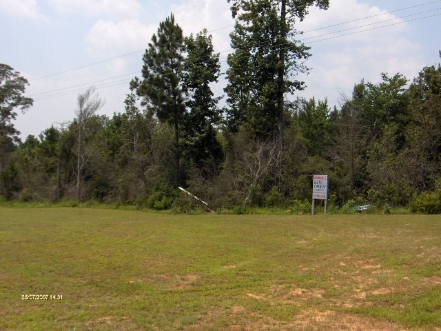
Property Record
16847 Highway 80, Minden, LA 71055

Property Detail
16847 Highway 80
Minden, LA
515 ACRES - SW/4 OF NW/4 SEC. 2 & S/2 OF NE/4 SEC. 3 & S/2 OF: NW/4 OF NE/4 SEC. 3, LESS 7-1/2 AC. RUNNING NORTH & SOUTH ENTI
104087
WEBSTER
Timberlandforesttreesagricultural
Louisiana
AE The base floodplain where base flood elevations are provided. AE Zones are now used on new format FIRMs instead of A1-A30 Zones.
515 AC
2025
Shreveport
2025
Other Market Areas
032102
NEARBY LISTINGS FOR SALE OR LEASE
-
-
View all Minden listings for sale on LoopNet.com
DEMOGRAPHICS near 16847 Highway 80
1 mile
3 mile
5 mile
2025 Total Population
555
11,023
14,757
2030 Population
528
10,658
14,306
Pop Growth 2025-2030
(4.86%)
(3.31%)
(3.06%)
Average Age
41
42
42
2025 Total Households
244
4,709
6,208
HH Growth 2025-2030
(4.92%)
(3.31%)
(3.04%)
Median Household Inc
$18,636
$28,516
$32,097
Avg Household Size
2.20
2.30
2.30
2025 Avg HH Vehicles
1.00
2.00
2.00
Median Home Value
$77,380
$113,187
$130,336
Median Year Built
1977
1969
1971
Nearby Places
Map Layers
Map Styles
 Street
 Aerial
Transit
 Traffic
 Biking
Places
Listings with unknown addresses are not visible on the map
- Restaurants
- Banks
- Shops
- Fitness
- Groceries
Nearby Properties
Address
Land Use
TOTAL SIZE
Lot Size
Zoning
Address
Land Use
TOTAL SIZE
Lot Size
Zoning
3.48 AC
Address
Land Use
TOTAL SIZE
Lot Size
Zoning
13.47 AC
Address
Land Use
TOTAL SIZE
Lot Size
Zoning
Address
Land Use
TOTAL SIZE
Lot Size
Zoning
8.91 AC
Address
Land Use
TOTAL SIZE
Lot Size
Zoning
6.07 AC
Address
Land Use
TOTAL SIZE
Lot Size
Zoning
4.45 AC
Address
Land Use
TOTAL SIZE
Lot Size
Zoning
3.85 AC
Address
Land Use
TOTAL SIZE
Lot Size
Zoning
Address
Land Use
TOTAL SIZE
Lot Size
Zoning
Address
Land Use
TOTAL SIZE
Lot Size
Zoning
Address
Land Use
TOTAL SIZE
Lot Size
Zoning
69.31 AC
Address
Land Use
TOTAL SIZE
Lot Size
Zoning
3.37 AC
Address
Land Use
TOTAL SIZE
Lot Size
Zoning
1.39 AC
Address
Land Use
TOTAL SIZE
Lot Size
Zoning
3.90 AC
Address
Land Use
TOTAL SIZE
Lot Size
Zoning
0.90 AC
Address
Land Use
TOTAL SIZE
Lot Size
Zoning
2.47 AC
Address
Land Use
TOTAL SIZE
Lot Size
Zoning
Address
Land Use
TOTAL SIZE
Lot Size
Zoning
Address
Land Use
TOTAL SIZE
Lot Size
Zoning
5.91 AC
Address
Land Use
TOTAL SIZE
Lot Size
Zoning
Address
Land Use
TOTAL SIZE
Lot Size
Zoning
1.50 AC
Address
Land Use
TOTAL SIZE
Lot Size
Zoning
28.96 AC
Address
Land Use
TOTAL SIZE
Lot Size
Zoning
3.88 AC
Address
Land Use
TOTAL SIZE
Lot Size
Zoning
4.48 AC
Address
Land Use
TOTAL SIZE
Lot Size
Zoning
Address
Land Use
TOTAL SIZE
Lot Size
Zoning
Address
Land Use
TOTAL SIZE
Lot Size
Zoning
0.54 AC
Address
Land Use
TOTAL SIZE
Lot Size
Zoning
3.03 AC
Address
Land Use
TOTAL SIZE
Lot Size
Zoning
1.02 AC
The World's #1 Commercial Real Estate Marketplace
Connect with us
© 2026 CoStar Group
The information above has been obtained from sources believed reliable. While we do not doubt its accuracy we have not verified it and make no guarantee, warranty or representation about it. It is your responsibility to independently confirm its accuracy and completeness. Any projections, opinions, assumptions, or estimates used are for example only and do not represent the current or future performance of the property. The value of this transaction to you depends on tax and other factors which should be evaluated by your tax, financial, and legal advisors. You and your advisors should conduct a careful, independent investigation of the property to determine to your satisfaction the suitability of the property for your needs.