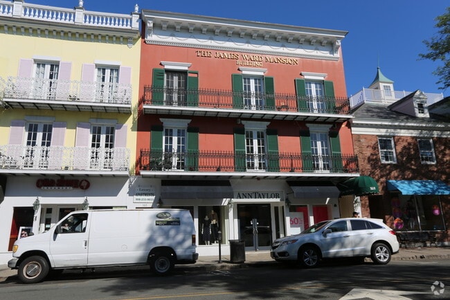
Property Record
169 E Broad St, Westfield, NJ 07090


Property Detail
169 E Broad St
Newark, NJ
INCL BLK 2505 LOTS 16 & 17
20-02505-0000-00016
UNION
Storemultistory
New Jersey
B and X Area of moderate flood hazard, usually the area between the limits of the 100-year and 500-year floods.
16
2024
0.08 AC
2025
Western Union County
036600
Northern New Jersey
7,263 SF
NEARBY LISTINGS FOR SALE OR LEASE
DEMOGRAPHICS near 169 E Broad St
1 mile
3 mile
5 mile
2025 Total Population
20,135
123,948
383,596
2030 Population
21,608
131,723
403,479
Pop Growth 2025-2030
+ 7.32%
+ 6.27%
+ 5.18%
Average Age
40
41
41
2025 Total Households
7,082
44,663
135,889
HH Growth 2025-2030
+ 7.41%
+ 6.34%
+ 5.29%
Median Household Inc
$194,001
$162,340
$127,010
Avg Household Size
2.80
2.70
2.80
2025 Avg HH Vehicles
2.00
2.00
2.00
Median Home Value
$922,221
$742,032
$622,082
Median Year Built
1948
1957
1957
Nearby Places
Map Layers
Map Styles
 Street
 Aerial
Transit
 Traffic
 Biking
Places
Listings with unknown addresses are not visible on the map
- Restaurants
- Banks
- Shops
- Fitness
- Groceries
PUBLIC TRANSPORTATION
COMMUTER RAIL
Westfield (Raritan Valley Line - NJ Transit Commuter Rail (NJ Transit))
Drive
Walk
Distance
Westfield (Raritan Valley Line - NJ Transit Commuter Rail (NJ Transit))
1 min
5 min
0.2 mi
Garwood (Raritan Valley Line - NJ Transit Commuter Rail (NJ Transit))
Drive
Walk
Distance
Garwood (Raritan Valley Line - NJ Transit Commuter Rail (NJ Transit))
3 min
1.4 mi
AIRPORT
Newark Liberty International
Drive
Walk
Distance
Newark Liberty International
22 min
14.1 mi
LaGuardia
Drive
Walk
Distance
LaGuardia
57 min
33.4 mi
John F Kennedy International
Drive
Walk
Distance
John F Kennedy International
61 min
39.7 mi
Freight Ports
New York Container Terminal
Drive
Walk
Distance
New York Container Terminal
23 min
12.3 mi
SALE & LEASE HISTORY
LISTING DATE
SALE/LEASE

Oct 21, 2022
For Lease
Aug 09, 2023
For Sale
Nearby Properties
Address
Land Use
TOTAL SIZE
Lot Size
Zoning
Address
Land Use
TOTAL SIZE
Lot Size
Zoning
Address
Land Use
TOTAL SIZE
Lot Size
Zoning
Address
Land Use
TOTAL SIZE
Lot Size
Zoning
31,905 SF
0.18 AC
Address
Land Use
TOTAL SIZE
Lot Size
Zoning
Address
Land Use
TOTAL SIZE
Lot Size
Zoning
10.11 AC
Address
Land Use
TOTAL SIZE
Lot Size
Zoning
439.33 AC
Address
Land Use
TOTAL SIZE
Lot Size
Zoning
0.42 AC
R-1
Address
Land Use
TOTAL SIZE
Lot Size
Zoning
29.03 AC
IL
Address
Land Use
TOTAL SIZE
Lot Size
Zoning
3,538 SF
112 AC
Address
Land Use
TOTAL SIZE
Lot Size
Zoning
144.37 AC
Address
Land Use
TOTAL SIZE
Lot Size
Zoning
10.82 AC
H
Address
Land Use
TOTAL SIZE
Lot Size
Zoning
9.42 AC
Address
Land Use
TOTAL SIZE
Lot Size
Zoning
159,434 SF
11.93 AC
IL
Address
Land Use
TOTAL SIZE
Lot Size
Zoning
19.90 AC
P
Address
Land Use
TOTAL SIZE
Lot Size
Zoning
182 SF
13.80 AC
Address
Land Use
TOTAL SIZE
Lot Size
Zoning
17,416 SF
19.42 AC
Address
Land Use
TOTAL SIZE
Lot Size
Zoning
Address
Land Use
TOTAL SIZE
Lot Size
Zoning
10.15 AC
RA
Address
Land Use
TOTAL SIZE
Lot Size
Zoning
56,476 SF
141.63 AC
Address
Land Use
TOTAL SIZE
Lot Size
Zoning
4.13 AC
Address
Land Use
TOTAL SIZE
Lot Size
Zoning
3.87 AC
CG
Address
Land Use
TOTAL SIZE
Lot Size
Zoning
Address
Land Use
TOTAL SIZE
Lot Size
Zoning
31,002 SF
3.64 AC
Address
Land Use
TOTAL SIZE
Lot Size
Zoning
8.84 AC
Address
Land Use
TOTAL SIZE
Lot Size
Zoning
10.16 AC
Address
Land Use
TOTAL SIZE
Lot Size
Zoning
Address
Land Use
TOTAL SIZE
Lot Size
Zoning
188,800 SF
5.61 AC
Address
Land Use
TOTAL SIZE
Lot Size
Zoning
8.40 AC
Address
Land Use
TOTAL SIZE
Lot Size
Zoning
20,130 SF
1.84 AC
Address
Land Use
TOTAL SIZE
Lot Size
Zoning
79,864 SF
6.58 AC
The World's #1 Commercial Real Estate Marketplace
Connect with us
© 2026 CoStar Group
The information above has been obtained from sources believed reliable. While we do not doubt its accuracy we have not verified it and make no guarantee, warranty or representation about it. It is your responsibility to independently confirm its accuracy and completeness. Any projections, opinions, assumptions, or estimates used are for example only and do not represent the current or future performance of the property. The value of this transaction to you depends on tax and other factors which should be evaluated by your tax, financial, and legal advisors. You and your advisors should conduct a careful, independent investigation of the property to determine to your satisfaction the suitability of the property for your needs.