Property Record
16W181 S Frontage Rd, Willowbrook, IL 60527

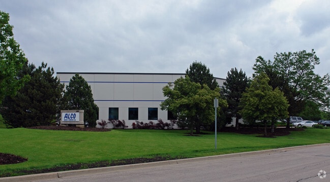
Property Detail
16W181 S Frontage Rd
09-35-203-003
HIGH GROVE BURR RIDGE ALL
Industrialgeneral
DUPAGE
I
Illinois
B and X Area of moderate flood hazard, usually the area between the limits of the 100-year and 500-year floods.
5
2024
0.92 AC
2024
South I-55 Corridor
845902
Chicago
9,890 SF
Chicago-Naperville-Elgin, IL-IN
NEARBY LISTINGS FOR SALE OR LEASE
DEMOGRAPHICS near 16W181 S Frontage Rd
1 mile
3 mile
5 mile
2024 Total Population
5,733
89,954
215,003
2029 Population
5,881
91,600
218,932
Pop Growth 2024-2029
+ 2.58%
+ 1.83%
+ 1.83%
Average Age
47
44
43
2024 Total Households
2,082
34,921
82,714
HH Growth 2024-2029
+ 2.59%
+ 1.72%
+ 1.76%
Median Household Inc
$136,569
$120,766
$116,456
Avg Household Size
2.60
2.50
2.50
2024 Avg HH Vehicles
2.00
2.00
2.00
Median Home Value
$659,939
$489,610
$471,928
Median Year Built
1983
1976
1975
Nearby Places
Map Layers
Map Styles
 Street
 Aerial
Transit
 Traffic
 Biking
Places
Listings with unknown addresses are not visible on the map
- Restaurants
- Banks
- Shops
- Fitness
- Groceries
PUBLIC TRANSPORTATION
COMMUTER RAIL
Willow Springs Station (Heritage Corridor Line - Northeast Illinois Regional Commuter Railroad (Metra))
Drive
Walk
Distance
Willow Springs Station (Heritage Corridor Line - Northeast Illinois Regional Commuter Railroad (Metra))
11 min
4.1 mi
Clarendon Hills Station (Burlington Northern-Santa Fe Railway Line - Northeast Illinois Regional Commuter Railroad (Metra))
Drive
Walk
Distance
Clarendon Hills Station (Burlington Northern-Santa Fe Railway Line - Northeast Illinois Regional Commuter Railroad (Metra))
13 min
5.4 mi
AIRPORT
Chicago Midway International
Drive
Walk
Distance
Chicago Midway International
18 min
11.6 mi
Chicago O'Hare International
Drive
Walk
Distance
Chicago O'Hare International
36 min
23.0 mi
Freight Ports
Port Milwaukee
Drive
Walk
Distance
Port Milwaukee
117 min
94.7 mi
Nearby Properties
Address
Land Use
TOTAL SIZE
Lot Size
Zoning
Address
Land Use
TOTAL SIZE
Lot Size
Zoning
183,080 SF
20.86 AC
C
Address
Land Use
TOTAL SIZE
Lot Size
Zoning
204,824 SF
15.05 AC
Address
Land Use
TOTAL SIZE
Lot Size
Zoning
368,233 SF
16.12 AC
Address
Land Use
TOTAL SIZE
Lot Size
Zoning
388,561 SF
12.77 AC
Address
Land Use
TOTAL SIZE
Lot Size
Zoning
274,406 SF
17.67 AC
M
Address
Land Use
TOTAL SIZE
Lot Size
Zoning
436,456 SF
59.11 AC
I
Address
Land Use
TOTAL SIZE
Lot Size
Zoning
182,295 SF
21.84 AC
C
Address
Land Use
TOTAL SIZE
Lot Size
Zoning
230,187 SF
15.38 AC
M
Address
Land Use
TOTAL SIZE
Lot Size
Zoning
202,562 SF
16.17 AC
M
Address
Land Use
TOTAL SIZE
Lot Size
Zoning
104,912 SF
6.91 AC
Address
Land Use
TOTAL SIZE
Lot Size
Zoning
94,064 SF
8.55 AC
Address
Land Use
TOTAL SIZE
Lot Size
Zoning
110,584 SF
5.57 AC
Address
Land Use
TOTAL SIZE
Lot Size
Zoning
203,532 SF
6.85 AC
M
Address
Land Use
TOTAL SIZE
Lot Size
Zoning
146,856 SF
7.18 AC
A
Address
Land Use
TOTAL SIZE
Lot Size
Zoning
111,892 SF
8.69 AC
I
Address
Land Use
TOTAL SIZE
Lot Size
Zoning
113,961 SF
6.94 AC
M
Address
Land Use
TOTAL SIZE
Lot Size
Zoning
8.91 AC
Address
Land Use
TOTAL SIZE
Lot Size
Zoning
195,000 SF
10.18 AC
Address
Land Use
TOTAL SIZE
Lot Size
Zoning
215,631 SF
23.94 AC
I
Address
Land Use
TOTAL SIZE
Lot Size
Zoning
84,944 SF
6.82 AC
C
Address
Land Use
TOTAL SIZE
Lot Size
Zoning
73,004 SF
7.67 AC
Address
Land Use
TOTAL SIZE
Lot Size
Zoning
128,283 SF
6.89 AC
C
Address
Land Use
TOTAL SIZE
Lot Size
Zoning
52,887 SF
4.64 AC
C
Address
Land Use
TOTAL SIZE
Lot Size
Zoning
144,840 SF
3.42 AC
Address
Land Use
TOTAL SIZE
Lot Size
Zoning
70,031 SF
3.87 AC
C
Address
Land Use
TOTAL SIZE
Lot Size
Zoning
188,319 SF
10.09 AC
M
Address
Land Use
TOTAL SIZE
Lot Size
Zoning
129,195 SF
10.71 AC
Address
Land Use
TOTAL SIZE
Lot Size
Zoning
Address
Land Use
TOTAL SIZE
Lot Size
Zoning
153,000 SF
10.26 AC
Address
Land Use
TOTAL SIZE
Lot Size
Zoning
134,235 SF
7.96 AC
The World's #1 Commercial Real Estate Marketplace
Connect with us
© 2026 CoStar Group
The information above has been obtained from sources believed reliable. While we do not doubt its accuracy we have not verified it and make no guarantee, warranty or representation about it. It is your responsibility to independently confirm its accuracy and completeness. Any projections, opinions, assumptions, or estimates used are for example only and do not represent the current or future performance of the property. The value of this transaction to you depends on tax and other factors which should be evaluated by your tax, financial, and legal advisors. You and your advisors should conduct a careful, independent investigation of the property to determine to your satisfaction the suitability of the property for your needs.