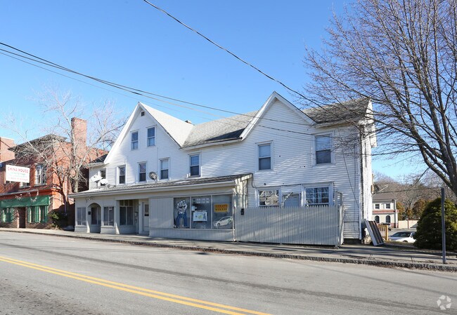
Property Record
17 Armitage Ct, Ashford, CT 06278
NEARBY LISTINGS FOR SALE OR LEASE
-
-
View all Ashford listings for sale on LoopNet.com
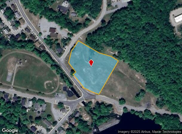
Property Detail
17 Armitage Ct
STER-000001S-C000017-000187
Windham
Governmentalpublicusegeneral
Connecticut
X
187
09015C0379F
3.33 AC
2025
Windham County
2025
Hartford
908100
Worcester, MA-CT
DEMOGRAPHICS near 17 Armitage Ct
1 Mile
3 Mile
5 Mile
2024 Total Population
3,374
9,960
20,357
2029 Population
3,362
9,822
20,159
Pop Growth 2024-2029
(0.36%)
(1.39%)
(0.97%)
Average Age
39
40
41
2024 Total Households
1,358
3,923
7,914
HH Growth 2024-2029
(0.29%)
(1.35%)
(0.96%)
Median Household Inc
$62,665
$73,860
$76,623
Avg Household Size
2.40
2.50
2.50
2024 Avg HH Vehicles
2.00
2.00
2.00
Median Home Value
$226,181
$229,864
$238,893
Median Year Built
1957
1970
1971
Nearby Places
Map Layers
Map Styles
 Street
 Aerial
- Restaurants
- Banks
- Shops
- Fitness
- Groceries
PUBLIC TRANSPORTATION
AIRPORT
Rhode Island Tf Green International
DRIVE
WALK
Distance
Rhode Island Tf Green International
49 min
25.7 mi
Freight Ports
Port of Davisville, RI
DRIVE
WALK
Distance
Port of Davisville, RI
53 min
30.6 mi
Nearby Properties
Address
Land Use
TOTAL SIZE
Lot Size
Zoning
Address
Land Use
TOTAL SIZE
Lot Size
Zoning
77,452 SF
40 AC
Address
Land Use
TOTAL SIZE
Lot Size
Zoning
55,128 SF
5 AC
RA19
Address
Land Use
TOTAL SIZE
Lot Size
Zoning
10.29 AC
RA19
Address
Land Use
TOTAL SIZE
Lot Size
Zoning
14.80 AC
Address
Land Use
TOTAL SIZE
Lot Size
Zoning
18,698 SF
5 AC
R-5A
Address
Land Use
TOTAL SIZE
Lot Size
Zoning
233,322 SF
13.60 AC
I
Address
Land Use
TOTAL SIZE
Lot Size
Zoning
5.18 AC
IND
Address
Land Use
TOTAL SIZE
Lot Size
Zoning
25.50 AC
Address
Land Use
TOTAL SIZE
Lot Size
Zoning
25,000 SF
5.60 AC
IND
Address
Land Use
TOTAL SIZE
Lot Size
Zoning
6.70 AC
RA19
Address
Land Use
TOTAL SIZE
Lot Size
Zoning
0.82 AC
C2
Address
Land Use
TOTAL SIZE
Lot Size
Zoning
18,224 SF
0.75 AC
RA19
Address
Land Use
TOTAL SIZE
Lot Size
Zoning
90,915 SF
1.78 AC
IND-1
Address
Land Use
TOTAL SIZE
Lot Size
Zoning
72.76 AC
Address
Land Use
TOTAL SIZE
Lot Size
Zoning
101.50 AC
R-80
Address
Land Use
TOTAL SIZE
Lot Size
Zoning
256 AC
R-5A
Address
Land Use
TOTAL SIZE
Lot Size
Zoning
24,416 SF
3.99 AC
Address
Land Use
TOTAL SIZE
Lot Size
Zoning
3,302 SF
20.51 AC
R-5A
Address
Land Use
TOTAL SIZE
Lot Size
Zoning
1.75 AC
C
Address
Land Use
TOTAL SIZE
Lot Size
Zoning
465 AC
R-5A
Address
Land Use
TOTAL SIZE
Lot Size
Zoning
7,765 SF
1.10 AC
RA60
Address
Land Use
TOTAL SIZE
Lot Size
Zoning
0.96 AC
C2
Address
Land Use
TOTAL SIZE
Lot Size
Zoning
3,200 SF
19.85 AC
Address
Land Use
TOTAL SIZE
Lot Size
Zoning
55.19 AC
Address
Land Use
TOTAL SIZE
Lot Size
Zoning
20,480 SF
7.20 AC
Address
Land Use
TOTAL SIZE
Lot Size
Zoning
1,056 SF
51.23 AC
R-5A
Address
Land Use
TOTAL SIZE
Lot Size
Zoning
1,200 SF
70.92 AC
R-5A
Address
Land Use
TOTAL SIZE
Lot Size
Zoning
190 AC
R-5A
Address
Land Use
TOTAL SIZE
Lot Size
Zoning
4,956 SF
0.75 AC
RA19
Address
Land Use
TOTAL SIZE
Lot Size
Zoning
2,352 SF
12.42 AC
R-5A
The World's #1 Commercial Real Estate Marketplace
Connect with us
© 2025 CoStar Group
The information above has been obtained from sources believed reliable. While we do not doubt its accuracy we have not verified it and make no guarantee, warranty or representation about it. It is your responsibility to independently confirm its accuracy and completeness. Any projections, opinions, assumptions, or estimates used are for example only and do not represent the current or future performance of the property. The value of this transaction to you depends on tax and other factors which should be evaluated by your tax, financial, and legal advisors. You and your advisors should conduct a careful, independent investigation of the property to determine to your satisfaction the suitability of the property for your needs.