Property Record
17 Highway Hwy, Chesapeake, VA 23323
NEARBY LISTINGS FOR SALE OR LEASE
Property Detail
17 Highway Hwy
Virginia Beach-Chesapeake-Norfolk, VA-NC
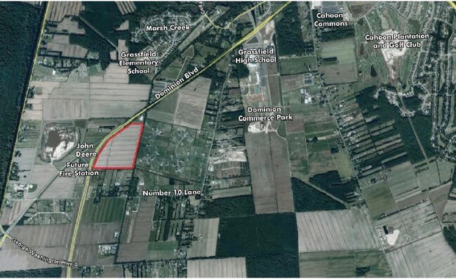
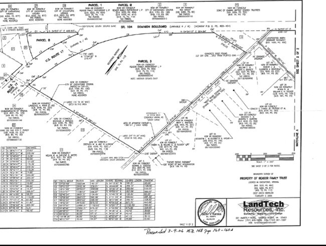
Whole Map 045, 057, Sentry Estates
0570000001280
AGRICULTURE PARCEL 1A RESUB 1-3 D B P LLC 22.930AC
Agriculturalland
Chesapeake
X
Virginia
5100340048D
27.44 AC
2024
Southern Chesapeake
2025
Hampton Roads
021402
DEMOGRAPHICS near 17 Highway Hwy
1 mile
3 mile
5 mile
2024 Total Population
379
16,781
50,930
2029 Population
392
17,449
52,907
Pop Growth 2024-2029
+ 3.43%
+ 3.98%
+ 3.88%
Average Age
37
36
38
2024 Total Households
114
5,386
16,808
HH Growth 2024-2029
+ 3.51%
+ 4.20%
+ 4.00%
Median Household Inc
$144,791
$118,956
$114,853
Avg Household Size
3.20
3.10
3.00
2024 Avg HH Vehicles
3.00
2.00
2.00
Median Home Value
$442,857
$377,152
$382,352
Median Year Built
1994
1999
1995
Nearby Places
Map Layers
Map Styles
 Street
 Aerial
Transit
 Traffic
 Biking
Places
Listings with unknown addresses are not visible on the map
- Restaurants
- Banks
- Shops
- Fitness
- Groceries
PUBLIC TRANSPORTATION
AIRPORT
Norfolk International
Drive
Walk
Distance
Norfolk International
29 min
19.2 mi
Freight Ports
Virginia Port Authority - Portsmouth
Drive
Walk
Distance
Virginia Port Authority - Portsmouth
27 min
16.8 mi
Nearby Properties
Address
Land Use
TOTAL SIZE
Lot Size
Zoning
Address
Land Use
TOTAL SIZE
Lot Size
Zoning
338,400 SF
96.79 AC
A1: AGRICU
Address
Land Use
TOTAL SIZE
Lot Size
Zoning
26.78 AC
RMF1: MULT
Address
Land Use
TOTAL SIZE
Lot Size
Zoning
195,637 SF
96.05 AC
RE1: RESID
Address
Land Use
TOTAL SIZE
Lot Size
Zoning
63,050 SF
27.71 AC
O-I: OFFIC
Address
Land Use
TOTAL SIZE
Lot Size
Zoning
107,223 SF
48.07 AC
O-I: OFFIC
Address
Land Use
TOTAL SIZE
Lot Size
Zoning
148,905 SF
7.32 AC
PUD: PLANN
Address
Land Use
TOTAL SIZE
Lot Size
Zoning
213,740 SF
26.51 AC
B2: GENERA
Address
Land Use
TOTAL SIZE
Lot Size
Zoning
38,354 SF
2.23 AC
PUD: PLANN
Address
Land Use
TOTAL SIZE
Lot Size
Zoning
4,300 SF
11.21 AC
PUD: PLANN
Address
Land Use
TOTAL SIZE
Lot Size
Zoning
48,464 SF
392.71 AC
A1: AGRICU
Address
Land Use
TOTAL SIZE
Lot Size
Zoning
43,800 SF
2.50 AC
PUD: PLANN
Address
Land Use
TOTAL SIZE
Lot Size
Zoning
63,350 SF
9.69 AC
B1: NEIGHB
Address
Land Use
TOTAL SIZE
Lot Size
Zoning
42,174 SF
5.28 AC
PUD: PLANN
Address
Land Use
TOTAL SIZE
Lot Size
Zoning
1,830 SF
37.43 AC
RMF1: MULT
Address
Land Use
TOTAL SIZE
Lot Size
Zoning
71,438 SF
20.14 AC
B2: GENERA
Address
Land Use
TOTAL SIZE
Lot Size
Zoning
71.97 AC
MULTI: MUL
Address
Land Use
TOTAL SIZE
Lot Size
Zoning
26.90 AC
PUD: PLANN
Address
Land Use
TOTAL SIZE
Lot Size
Zoning
57,330 SF
16.52 AC
RMF1: MULT
Address
Land Use
TOTAL SIZE
Lot Size
Zoning
14.85 AC
RMF1: MULT
Address
Land Use
TOTAL SIZE
Lot Size
Zoning
1,536 SF
15.20 AC
PUD: PLANN
Address
Land Use
TOTAL SIZE
Lot Size
Zoning
11.72 AC
R15S: RESI
Address
Land Use
TOTAL SIZE
Lot Size
Zoning
7,134 SF
30.41 AC
A1: AGRICU
Address
Land Use
TOTAL SIZE
Lot Size
Zoning
21.53 AC
PUD: PLANN
Address
Land Use
TOTAL SIZE
Lot Size
Zoning
19,301 SF
9.23 AC
PUD: PLANN
Address
Land Use
TOTAL SIZE
Lot Size
Zoning
66,535 SF
8.62 AC
B1: NEIGHB
Address
Land Use
TOTAL SIZE
Lot Size
Zoning
34,276 SF
14.67 AC
R10S: RESI
Address
Land Use
TOTAL SIZE
Lot Size
Zoning
502.60 AC
A1: AGRICU
Address
Land Use
TOTAL SIZE
Lot Size
Zoning
2,386 SF
17.08 AC
PUD: PLANN
Address
Land Use
TOTAL SIZE
Lot Size
Zoning
1,269 SF
230.61 AC
MULTI: MUL
Address
Land Use
TOTAL SIZE
Lot Size
Zoning
6.25 AC
PUD: PLANN
The World's #1 Commercial Real Estate Marketplace
Connect with us
© 2026 CoStar Group
The information above has been obtained from sources believed reliable. While we do not doubt its accuracy we have not verified it and make no guarantee, warranty or representation about it. It is your responsibility to independently confirm its accuracy and completeness. Any projections, opinions, assumptions, or estimates used are for example only and do not represent the current or future performance of the property. The value of this transaction to you depends on tax and other factors which should be evaluated by your tax, financial, and legal advisors. You and your advisors should conduct a careful, independent investigation of the property to determine to your satisfaction the suitability of the property for your needs.