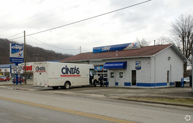
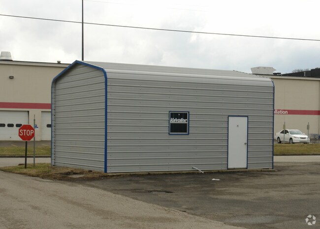
Property Record
17 Twp Rd N, South Point, OH 45680
NEARBY LISTINGS FOR SALE OR LEASE
Property Detail
17 Twp Rd N
Huntington-Ashland, WV-KY-OH
Del Meade Sd
06-157-1600-000
-00-00 2 DEL MEADE SD BL E PT 31/2 LESS 31/2 X 96.75 BAL=3 1/2 X 86
Autorepair
Lawrence
X
Ohio
54099C0020D
1,2
0
0.14 AC
2024
Lawrence County
051101
Huntington/Ashland
1,836 SF
DEMOGRAPHICS near 17 Twp Rd N
1 Mile
3 Mile
5 Mile
2024 Total Population
3,847
18,921
51,167
2029 Population
3,730
18,504
50,289
Pop Growth 2024-2029
(3.04%)
(2.20%)
(1.72%)
Average Age
44
42
41
2024 Total Households
1,749
8,198
22,458
HH Growth 2024-2029
(2.80%)
(2.13%)
(1.59%)
Median Household Inc
$42,654
$41,583
$44,798
Avg Household Size
2.20
2.30
2.20
2024 Avg HH Vehicles
2.00
2.00
2.00
Median Home Value
$116,027
$105,739
$133,176
Median Year Built
1963
1962
1965
Nearby Places
Map Layers
Map Styles
 Street
 Aerial
- Restaurants
- Banks
- Shops
- Fitness
- Groceries
PUBLIC TRANSPORTATION
COMMUTER RAIL
Huntington Amtrak Station (Cardinal - Amtrak)
DRIVE
WALK
Distance
Huntington Amtrak Station (Cardinal - Amtrak)
11 min
6.1 mi
AIRPORT
Tri-State/Milton J Ferguson Field
DRIVE
WALK
Distance
Tri-State/Milton J Ferguson Field
18 min
12.6 mi
Freight Ports
Port of Toledo
DRIVE
WALK
Distance
Port of Toledo
342 min
266.1 mi
Nearby Properties
Address
Land Use
TOTAL SIZE
Lot Size
Zoning
Address
Land Use
TOTAL SIZE
Lot Size
Zoning
Address
Land Use
TOTAL SIZE
Lot Size
Zoning
Address
Land Use
TOTAL SIZE
Lot Size
Zoning
2.83 AC
Address
Land Use
TOTAL SIZE
Lot Size
Zoning
348,219 SF
12 AC
Address
Land Use
TOTAL SIZE
Lot Size
Zoning
0.74 AC
Address
Land Use
TOTAL SIZE
Lot Size
Zoning
Address
Land Use
TOTAL SIZE
Lot Size
Zoning
Address
Land Use
TOTAL SIZE
Lot Size
Zoning
Address
Land Use
TOTAL SIZE
Lot Size
Zoning
18,540 SF
4.37 AC
Address
Land Use
TOTAL SIZE
Lot Size
Zoning
11.90 AC
Address
Land Use
TOTAL SIZE
Lot Size
Zoning
26.44 AC
Address
Land Use
TOTAL SIZE
Lot Size
Zoning
7.98 AC
Address
Land Use
TOTAL SIZE
Lot Size
Zoning
Address
Land Use
TOTAL SIZE
Lot Size
Zoning
Address
Land Use
TOTAL SIZE
Lot Size
Zoning
Address
Land Use
TOTAL SIZE
Lot Size
Zoning
Address
Land Use
TOTAL SIZE
Lot Size
Zoning
132,113 SF
4.38 AC
Address
Land Use
TOTAL SIZE
Lot Size
Zoning
4.98 AC
Address
Land Use
TOTAL SIZE
Lot Size
Zoning
3,140 SF
8.34 AC
Address
Land Use
TOTAL SIZE
Lot Size
Zoning
139,404 SF
13.66 AC
Address
Land Use
TOTAL SIZE
Lot Size
Zoning
2.65 AC
Address
Land Use
TOTAL SIZE
Lot Size
Zoning
12.15 AC
Address
Land Use
TOTAL SIZE
Lot Size
Zoning
2.20 AC
Address
Land Use
TOTAL SIZE
Lot Size
Zoning
1.51 AC
Address
Land Use
TOTAL SIZE
Lot Size
Zoning
7,944 SF
5.92 AC
Address
Land Use
TOTAL SIZE
Lot Size
Zoning
37,248 SF
2.12 AC
Address
Land Use
TOTAL SIZE
Lot Size
Zoning
82,101 SF
8.63 AC
Address
Land Use
TOTAL SIZE
Lot Size
Zoning
5 AC
Address
Land Use
TOTAL SIZE
Lot Size
Zoning
59,292 SF
5.12 AC
Address
Land Use
TOTAL SIZE
Lot Size
Zoning
The World's #1 Commercial Real Estate Marketplace
Connect with us
© 2025 CoStar Group
The information above has been obtained from sources believed reliable. While we do not doubt its accuracy we have not verified it and make no guarantee, warranty or representation about it. It is your responsibility to independently confirm its accuracy and completeness. Any projections, opinions, assumptions, or estimates used are for example only and do not represent the current or future performance of the property. The value of this transaction to you depends on tax and other factors which should be evaluated by your tax, financial, and legal advisors. You and your advisors should conduct a careful, independent investigation of the property to determine to your satisfaction the suitability of the property for your needs.