Property Record
170 Tobias St, Kernville, CA 93238


NEARBY LISTINGS FOR SALE OR LEASE
-
-
View all Kernville listings for sale on LoopNet.com
Property Detail
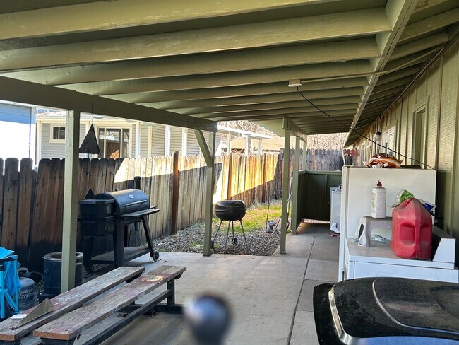
170 Tobias St
Bakersfield, CA
Tract No. 1513
082-172-21-00-3
PARCEL MAP 4256 , LOT 2
Quadruplex
Kern
X
California
06107C2450E
2
2024
0.26 AC
2025
Eastern Kern County
005207
Bakersfield
3,552 SF
DEMOGRAPHICS near 170 Tobias St
1 Mile
3 Mile
5 Mile
2024 Total Population
883
1,328
3,259
2029 Population
842
1,257
3,047
Pop Growth 2024-2029
(4.64%)
(5.35%)
(6.51%)
Average Age
51
51
52
2024 Total Households
452
675
1,677
HH Growth 2024-2029
(4.87%)
(5.48%)
(6.62%)
Median Household Inc
$43,624
$42,424
$39,037
Avg Household Size
1.90
1.90
1.90
2024 Avg HH Vehicles
2.00
2.00
2.00
Median Home Value
$931,817
$637,614
$260,772
Median Year Built
1963
1969
1975
Nearby Places
Map Layers
Map Styles
 Street
 Aerial
- Restaurants
- Banks
- Shops
- Fitness
- Groceries
SALE & LEASE HISTORY
LISTING DATE
SALE/LEASE

Feb 12, 2025
For Sale
Nearby Properties
Address
Land Use
TOTAL SIZE
Lot Size
Zoning
Address
Land Use
TOTAL SIZE
Lot Size
Zoning
8.92 AC
CH
Address
Land Use
TOTAL SIZE
Lot Size
Zoning
2,160 SF
1.12 AC
Address
Land Use
TOTAL SIZE
Lot Size
Zoning
5,156 SF
1.06 AC
B
Address
Land Use
TOTAL SIZE
Lot Size
Zoning
3,186 SF
11.88 AC
RF
Address
Land Use
TOTAL SIZE
Lot Size
Zoning
1,568 SF
3.44 AC
C2
Address
Land Use
TOTAL SIZE
Lot Size
Zoning
17.73 AC
A1
Address
Land Use
TOTAL SIZE
Lot Size
Zoning
3,435 SF
0.26 AC
C-1
Address
Land Use
TOTAL SIZE
Lot Size
Zoning
11,214 SF
1.85 AC
C1D
Address
Land Use
TOTAL SIZE
Lot Size
Zoning
5,194 SF
0.43 AC
C-1
Address
Land Use
TOTAL SIZE
Lot Size
Zoning
2,660 SF
0.40 AC
C-1-D
Address
Land Use
TOTAL SIZE
Lot Size
Zoning
2,001 SF
0.31 AC
C1
Address
Land Use
TOTAL SIZE
Lot Size
Zoning
4,994 SF
1.60 AC
C-H
Address
Land Use
TOTAL SIZE
Lot Size
Zoning
4,416 SF
0.35 AC
C-1-D
Address
Land Use
TOTAL SIZE
Lot Size
Zoning
2,720 SF
0.29 AC
C
Address
Land Use
TOTAL SIZE
Lot Size
Zoning
6,359 SF
1 AC
C1
Address
Land Use
TOTAL SIZE
Lot Size
Zoning
2,704 SF
0.37 AC
C-1-D
Address
Land Use
TOTAL SIZE
Lot Size
Zoning
3,480 SF
0.17 AC
C-1
Address
Land Use
TOTAL SIZE
Lot Size
Zoning
3,564 SF
0.44 AC
C-1
Address
Land Use
TOTAL SIZE
Lot Size
Zoning
3.31 AC
Address
Land Use
TOTAL SIZE
Lot Size
Zoning
5,358 SF
1.19 AC
CH
Address
Land Use
TOTAL SIZE
Lot Size
Zoning
0.33 AC
C1
Address
Land Use
TOTAL SIZE
Lot Size
Zoning
882 SF
0.19 AC
C-1
Address
Land Use
TOTAL SIZE
Lot Size
Zoning
3,167 SF
0.14 AC
C1
Address
Land Use
TOTAL SIZE
Lot Size
Zoning
4,134 SF
0.14 AC
C1
Address
Land Use
TOTAL SIZE
Lot Size
Zoning
896 SF
160 AC
A
Address
Land Use
TOTAL SIZE
Lot Size
Zoning
2,500 SF
0.74 AC
C-2 PD
Address
Land Use
TOTAL SIZE
Lot Size
Zoning
0.71 AC
C1
Address
Land Use
TOTAL SIZE
Lot Size
Zoning
1,860 SF
0.19 AC
C1
Address
Land Use
TOTAL SIZE
Lot Size
Zoning
2,526 SF
0.23 AC
C-1-D
The World's #1 Commercial Real Estate Marketplace
Connect with us
© 2025 CoStar Group
The information above has been obtained from sources believed reliable. While we do not doubt its accuracy we have not verified it and make no guarantee, warranty or representation about it. It is your responsibility to independently confirm its accuracy and completeness. Any projections, opinions, assumptions, or estimates used are for example only and do not represent the current or future performance of the property. The value of this transaction to you depends on tax and other factors which should be evaluated by your tax, financial, and legal advisors. You and your advisors should conduct a careful, independent investigation of the property to determine to your satisfaction the suitability of the property for your needs.