Property Record
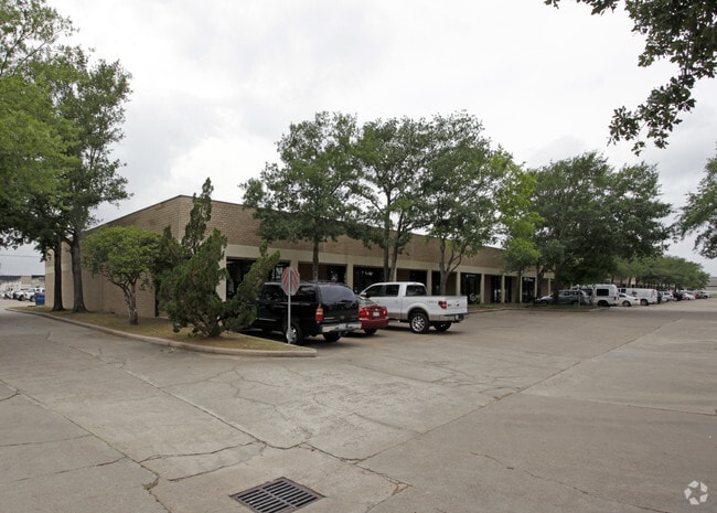
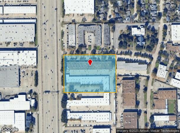
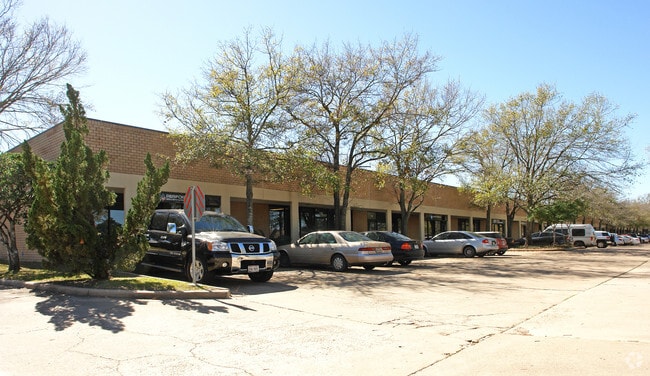
1680 W Sam Houston Pkwy N, Houston, TX 77043

NEARBY LISTINGS FOR SALE OR LEASE
Property Detail
1680 W Sam Houston Pkwy N
1053540000010
Town & Country Business Park 2
Warehouse
RES B TOWN & COUNTRY BUSINESS PARK 2
X
Harris
48201C0645L
Texas
2024
5.93 AC
2025
Northwest Inner Loop
522402
Houston
84,140 SF
Houston-The Woodlands-Sugar Land, TX
DEMOGRAPHICS near 1680 W Sam Houston Pkwy N
1 Mile
3 Mile
5 Mile
2024 Total Population
11,348
108,002
288,803
2029 Population
11,571
111,047
296,428
Pop Growth 2024-2029
+ 1.97%
+ 2.82%
+ 2.64%
Average Age
37
38
37
2024 Total Households
4,089
40,473
112,568
HH Growth 2024-2029
+ 1.98%
+ 2.98%
+ 2.66%
Median Household Inc
$65,385
$70,924
$67,779
Avg Household Size
2.70
2.60
2.50
2024 Avg HH Vehicles
2.00
2.00
2.00
Median Home Value
$283,470
$370,419
$390,690
Median Year Built
1972
1975
1979
Nearby Places
- Restaurants
- Banks
- Shops
- Fitness
- Groceries
PUBLIC TRANSPORTATION
AIRPORT
George Bush Intcntl/Houston
DRIVE
WALK
Distance
George Bush Intcntl/Houston
31 min
25.6 mi
William P Hobby
DRIVE
WALK
Distance
William P Hobby
44 min
28.1 mi
Freight Ports
Port of Houston
DRIVE
WALK
Distance
Port of Houston
37 min
24.9 mi
SALE & LEASE HISTORY
LISTING DATE
SALE/LEASE

Nov 29, 2021
For Lease
Nearby Properties
Address
Land Use
TOTAL SIZE
Lot Size
Zoning
Address
Land Use
TOTAL SIZE
Lot Size
Zoning
2,976,779 SF
41.36 AC
Address
Land Use
TOTAL SIZE
Lot Size
Zoning
578,530 SF
32.81 AC
Address
Land Use
TOTAL SIZE
Lot Size
Zoning
935,613 SF
27.93 AC
Address
Land Use
TOTAL SIZE
Lot Size
Zoning
797,516 SF
2.91 AC
Address
Land Use
TOTAL SIZE
Lot Size
Zoning
797,509 SF
3.11 AC
Address
Land Use
TOTAL SIZE
Lot Size
Zoning
730,107 SF
2.92 AC
Address
Land Use
TOTAL SIZE
Lot Size
Zoning
730,107 SF
2.57 AC
Address
Land Use
TOTAL SIZE
Lot Size
Zoning
955,731 SF
3.40 AC
Address
Land Use
TOTAL SIZE
Lot Size
Zoning
542,880 SF
1.22 AC
Address
Land Use
TOTAL SIZE
Lot Size
Zoning
743,954 SF
2.97 AC
Address
Land Use
TOTAL SIZE
Lot Size
Zoning
487,073 SF
44.12 AC
Address
Land Use
TOTAL SIZE
Lot Size
Zoning
683,397 SF
2.97 AC
Address
Land Use
TOTAL SIZE
Lot Size
Zoning
569,641 SF
5.69 AC
Address
Land Use
TOTAL SIZE
Lot Size
Zoning
306,572 SF
25.46 AC
Address
Land Use
TOTAL SIZE
Lot Size
Zoning
507,014 SF
2.93 AC
Address
Land Use
TOTAL SIZE
Lot Size
Zoning
357,280 SF
1.72 AC
Address
Land Use
TOTAL SIZE
Lot Size
Zoning
497,932 SF
3.97 AC
Address
Land Use
TOTAL SIZE
Lot Size
Zoning
656,741 SF
1.88 AC
Address
Land Use
TOTAL SIZE
Lot Size
Zoning
320,534 SF
2.32 AC
Address
Land Use
TOTAL SIZE
Lot Size
Zoning
520,277 SF
10.04 AC
Address
Land Use
TOTAL SIZE
Lot Size
Zoning
207,841 SF
1.19 AC
Address
Land Use
TOTAL SIZE
Lot Size
Zoning
793,669 SF
121.83 AC
Address
Land Use
TOTAL SIZE
Lot Size
Zoning
504,256 SF
6.09 AC
Address
Land Use
TOTAL SIZE
Lot Size
Zoning
544,102 SF
2.99 AC
Address
Land Use
TOTAL SIZE
Lot Size
Zoning
199,423 SF
Address
Land Use
TOTAL SIZE
Lot Size
Zoning
519,220 SF
6.23 AC
Address
Land Use
TOTAL SIZE
Lot Size
Zoning
726,444 SF
7.29 AC
Address
Land Use
TOTAL SIZE
Lot Size
Zoning
324,600 SF
2.06 AC
Address
Land Use
TOTAL SIZE
Lot Size
Zoning
341,801 SF
9.72 AC
Address
Land Use
TOTAL SIZE
Lot Size
Zoning
533,048 SF
5.80 AC
The World's #1 Commercial Real Estate Marketplace
Connect with us
© 2025 CoStar Group
The information above has been obtained from sources believed reliable. While we do not doubt its accuracy we have not verified it and make no guarantee, warranty or representation about it. It is your responsibility to independently confirm its accuracy and completeness. Any projections, opinions, assumptions, or estimates used are for example only and do not represent the current or future performance of the property. The value of this transaction to you depends on tax and other factors which should be evaluated by your tax, financial, and legal advisors. You and your advisors should conduct a careful, independent investigation of the property to determine to your satisfaction the suitability of the property for your needs.