Property Record
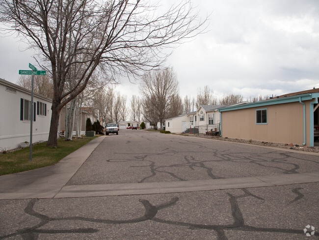
1700 Sandstone Dr, Loveland, CO 80537


NEARBY LISTINGS FOR SALE OR LEASE
Property Detail
1700 Sandstone Dr
Fort Collins-Loveland, CO
Sylmar Fifth Subdivision
85182-27-001
MH SERIAL: IDTL018303AA YEAR: 1970 MAKE: LANCER
Mobilemanufacturedhomeregardlessoflandownership
Larimer
2023
Colorado
2025
18.70 AC
001711
Loveland
1 SF
Denver
DEMOGRAPHICS near 1700 Sandstone Dr
1 mile
3 mile
5 mile
2024 Total Population
10,056
47,230
95,103
2029 Population
10,550
49,753
100,576
Pop Growth 2024-2029
+ 4.91%
+ 5.34%
+ 5.75%
Average Age
40
42
42
2024 Total Households
4,236
20,498
39,639
HH Growth 2024-2029
+ 5.15%
+ 5.59%
+ 6.02%
Median Household Inc
$72,135
$71,796
$77,653
Avg Household Size
2.30
2.20
2.40
2024 Avg HH Vehicles
2.00
2.00
2.00
Median Home Value
$371,573
$386,096
$432,287
Median Year Built
1990
1983
1992
Nearby Places
Map Layers
Map Styles
 Street
 Aerial
Transit
 Traffic
 Biking
Places
Listings with unknown addresses are not visible on the map
- Restaurants
- Banks
- Shops
- Fitness
- Groceries
Nearby Properties
Address
Land Use
TOTAL SIZE
Lot Size
Zoning
Address
Land Use
TOTAL SIZE
Lot Size
Zoning
218,000 SF
45.72 AC
R1
Address
Land Use
TOTAL SIZE
Lot Size
Zoning
366,684 SF
29.44 AC
R3
Address
Land Use
TOTAL SIZE
Lot Size
Zoning
201,500 SF
28.43 AC
R1E
Address
Land Use
TOTAL SIZE
Lot Size
Zoning
231,071 SF
23.80 AC
P12
Address
Land Use
TOTAL SIZE
Lot Size
Zoning
200,420 SF
41.52 AC
R1
Address
Land Use
TOTAL SIZE
Lot Size
Zoning
109,639 SF
8.49 AC
B
Address
Land Use
TOTAL SIZE
Lot Size
Zoning
120,688 SF
1.24 AC
Address
Land Use
TOTAL SIZE
Lot Size
Zoning
147,663 SF
5.01 AC
R3E
Address
Land Use
TOTAL SIZE
Lot Size
Zoning
84,548 SF
4.91 AC
P12
Address
Land Use
TOTAL SIZE
Lot Size
Zoning
96,723 SF
9.16 AC
I
Address
Land Use
TOTAL SIZE
Lot Size
Zoning
125,566 SF
8.27 AC
R3E
Address
Land Use
TOTAL SIZE
Lot Size
Zoning
35,554 SF
7.69 AC
Address
Land Use
TOTAL SIZE
Lot Size
Zoning
137,225 SF
25.76 AC
R1
Address
Land Use
TOTAL SIZE
Lot Size
Zoning
205,804 SF
21.91 AC
P51
Address
Land Use
TOTAL SIZE
Lot Size
Zoning
81,664 SF
0.95 AC
Address
Land Use
TOTAL SIZE
Lot Size
Zoning
82,749 SF
25.54 AC
R2
Address
Land Use
TOTAL SIZE
Lot Size
Zoning
64,309 SF
14.54 AC
Address
Land Use
TOTAL SIZE
Lot Size
Zoning
122,597 SF
7.11 AC
Address
Land Use
TOTAL SIZE
Lot Size
Zoning
122,597 SF
6.57 AC
Address
Land Use
TOTAL SIZE
Lot Size
Zoning
137,432 SF
12.89 AC
B
Address
Land Use
TOTAL SIZE
Lot Size
Zoning
48,924 SF
4.89 AC
Address
Land Use
TOTAL SIZE
Lot Size
Zoning
196,188 SF
13.26 AC
C
Address
Land Use
TOTAL SIZE
Lot Size
Zoning
565,272 SF
20.27 AC
Address
Land Use
TOTAL SIZE
Lot Size
Zoning
75,000 SF
2.96 AC
B
Address
Land Use
TOTAL SIZE
Lot Size
Zoning
93,689 SF
2.93 AC
P12
Address
Land Use
TOTAL SIZE
Lot Size
Zoning
123,130 SF
4.17 AC
Address
Land Use
TOTAL SIZE
Lot Size
Zoning
165,709 SF
10.52 AC
Address
Land Use
TOTAL SIZE
Lot Size
Zoning
332,645 SF
14.16 AC
BUD
Address
Land Use
TOTAL SIZE
Lot Size
Zoning
83,954 SF
5.79 AC
FA
Address
Land Use
TOTAL SIZE
Lot Size
Zoning
54,230 SF
2.84 AC
P59
The World's #1 Commercial Real Estate Marketplace
Connect with us
© 2026 CoStar Group
The information above has been obtained from sources believed reliable. While we do not doubt its accuracy we have not verified it and make no guarantee, warranty or representation about it. It is your responsibility to independently confirm its accuracy and completeness. Any projections, opinions, assumptions, or estimates used are for example only and do not represent the current or future performance of the property. The value of this transaction to you depends on tax and other factors which should be evaluated by your tax, financial, and legal advisors. You and your advisors should conduct a careful, independent investigation of the property to determine to your satisfaction the suitability of the property for your needs.