Property Record
17007 Bel Ray Blvd, Belton, MO 64012
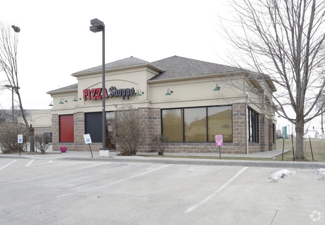


Property Detail
17007 Bel Ray Blvd
Kansas City, MO-KS
S732 W230 EX S255 PARCEL B TR 3
2352004
Cass
Officebuilding
Missouri
B and X Area of moderate flood hazard, usually the area between the limits of the 100-year and 500-year floods.
488b
2024
3.17 AC
2025
Cass County
060003
Kansas City
21,680 SF
NEARBY LISTINGS FOR SALE OR LEASE
DEMOGRAPHICS near 17007 Bel Ray Blvd
1 mile
3 mile
5 mile
2025 Total Population
7,534
50,602
69,171
2030 Population
7,935
52,932
71,943
Pop Growth 2025-2030
+ 5.32%
+ 4.60%
+ 4.01%
Average Age
40
40
40
2025 Total Households
2,937
19,652
26,458
HH Growth 2025-2030
+ 5.41%
+ 4.78%
+ 4.18%
Median Household Inc
$65,516
$73,831
$74,554
Avg Household Size
2.50
2.50
2.60
2025 Avg HH Vehicles
2.00
2.00
2.00
Median Home Value
$241,683
$258,467
$254,251
Median Year Built
1995
1994
1992
Nearby Places
Map Layers
Map Styles
 Street
 Aerial
Layers
 Traffic
 Biking
Places
Listings with unknown addresses are not visible on the map
- Restaurants
- Banks
- Shops
- Fitness
- Groceries
PUBLIC TRANSPORTATION
AIRPORT
Kansas City International
Drive
Walk
Distance
Kansas City International
57 min
42.1 mi
SALE & LEASE HISTORY
LISTING DATE
SALE/LEASE

Sep 25, 2016
For Lease
Nearby Properties
Address
Land Use
TOTAL SIZE
Lot Size
Zoning
Address
Land Use
TOTAL SIZE
Lot Size
Zoning
59.51 AC
Address
Land Use
TOTAL SIZE
Lot Size
Zoning
38.18 AC
Address
Land Use
TOTAL SIZE
Lot Size
Zoning
28.36 AC
Address
Land Use
TOTAL SIZE
Lot Size
Zoning
11.65 AC
Address
Land Use
TOTAL SIZE
Lot Size
Zoning
4,490 SF
27.52 AC
Address
Land Use
TOTAL SIZE
Lot Size
Zoning
27.53 AC
Address
Land Use
TOTAL SIZE
Lot Size
Zoning
456,840 SF
29.46 AC
Address
Land Use
TOTAL SIZE
Lot Size
Zoning
4,954 SF
23.93 AC
Address
Land Use
TOTAL SIZE
Lot Size
Zoning
15.22 AC
Address
Land Use
TOTAL SIZE
Lot Size
Zoning
646,513 SF
113.86 AC
Address
Land Use
TOTAL SIZE
Lot Size
Zoning
372,085 SF
17.16 AC
Address
Land Use
TOTAL SIZE
Lot Size
Zoning
3.31 AC
Address
Land Use
TOTAL SIZE
Lot Size
Zoning
24,132 SF
36.55 AC
Address
Land Use
TOTAL SIZE
Lot Size
Zoning
446,900 SF
19.33 AC
Address
Land Use
TOTAL SIZE
Lot Size
Zoning
944,109 SF
17.75 AC
Address
Land Use
TOTAL SIZE
Lot Size
Zoning
2.23 AC
Address
Land Use
TOTAL SIZE
Lot Size
Zoning
80,456 SF
8.23 AC
Address
Land Use
TOTAL SIZE
Lot Size
Zoning
2.18 AC
Address
Land Use
TOTAL SIZE
Lot Size
Zoning
90,842 SF
9 AC
Address
Land Use
TOTAL SIZE
Lot Size
Zoning
53,306 SF
6.70 AC
Address
Land Use
TOTAL SIZE
Lot Size
Zoning
181,400 SF
12.23 AC
Address
Land Use
TOTAL SIZE
Lot Size
Zoning
1.94 AC
Address
Land Use
TOTAL SIZE
Lot Size
Zoning
17,590 SF
18.30 AC
Address
Land Use
TOTAL SIZE
Lot Size
Zoning
1.76 AC
Address
Land Use
TOTAL SIZE
Lot Size
Zoning
5.46 AC
Address
Land Use
TOTAL SIZE
Lot Size
Zoning
594,769 SF
18.43 AC
Address
Land Use
TOTAL SIZE
Lot Size
Zoning
25,484 SF
2.13 AC
Address
Land Use
TOTAL SIZE
Lot Size
Zoning
402,609 SF
15.11 AC
Address
Land Use
TOTAL SIZE
Lot Size
Zoning
611,460 SF
23.70 AC
Address
Land Use
TOTAL SIZE
Lot Size
Zoning
76,487 SF
9.69 AC
The World's #1 Commercial Real Estate Marketplace
Connect with us
© 2026 CoStar Group
The information above has been obtained from sources believed reliable. While we do not doubt its accuracy we have not verified it and make no guarantee, warranty or representation about it. It is your responsibility to independently confirm its accuracy and completeness. Any projections, opinions, assumptions, or estimates used are for example only and do not represent the current or future performance of the property. The value of this transaction to you depends on tax and other factors which should be evaluated by your tax, financial, and legal advisors. You and your advisors should conduct a careful, independent investigation of the property to determine to your satisfaction the suitability of the property for your needs.