Property Record
1701 Elberta Rd, Warner Robins, GA 31093


Property Detail
1701 Elberta Rd
0W071003A000
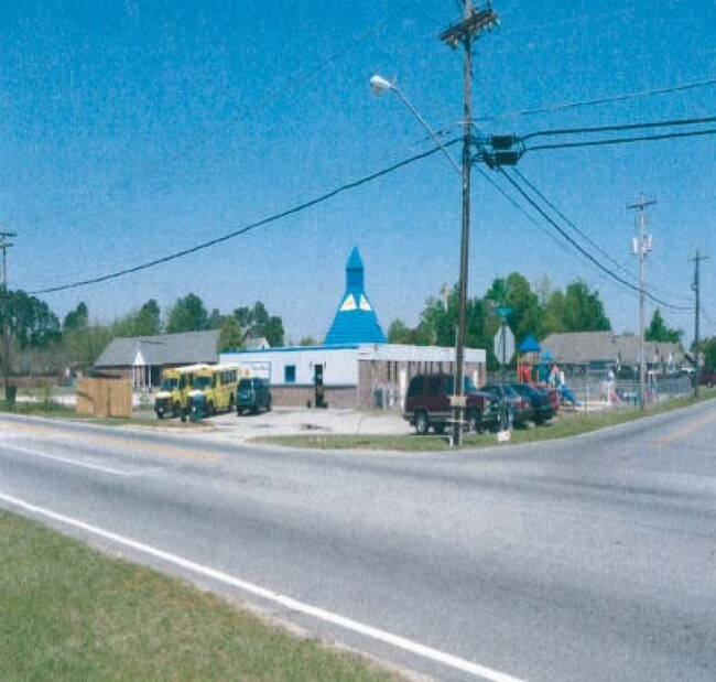
KINDER-CARE PB 18/117 164/5TH
Daycare
HOUSTON
C2
Georgia
B and X Area of moderate flood hazard, usually the area between the limits of the 100-year and 500-year floods.
164
2025
0.63 AC
2025
Other Market Areas
020111
Warner Robins, GA
4,777 SF
NEARBY LISTINGS FOR SALE OR LEASE
DEMOGRAPHICS near 1701 Elberta Rd
1 mile
3 mile
5 mile
2025 Total Population
9,629
53,473
101,030
2030 Population
10,072
56,303
106,325
Pop Growth 2025-2030
+ 4.60%
+ 5.29%
+ 5.24%
Average Age
39
38
38
2025 Total Households
3,926
21,406
40,002
HH Growth 2025-2030
+ 4.64%
+ 5.33%
+ 5.30%
Median Household Inc
$54,475
$53,392
$63,943
Avg Household Size
2.40
2.40
2.50
2025 Avg HH Vehicles
2.00
2.00
2.00
Median Home Value
$159,977
$141,323
$170,848
Median Year Built
1976
1977
1988
Nearby Places
Map Layers
Map Styles
 Street
 Aerial
Layers
 Traffic
 Biking
Places
Listings with unknown addresses are not visible on the map
- Restaurants
- Banks
- Shops
- Fitness
- Groceries
SALE & LEASE HISTORY
LISTING DATE
SALE/LEASE

Sep 23, 2016
For Sale
Nearby Properties
Address
Land Use
TOTAL SIZE
Lot Size
Zoning
Address
Land Use
TOTAL SIZE
Lot Size
Zoning
37,908 SF
19.79 AC
C2
Address
Land Use
TOTAL SIZE
Lot Size
Zoning
88,965 SF
18.72 AC
R2
Address
Land Use
TOTAL SIZE
Lot Size
Zoning
5,640 SF
24 AC
C2
Address
Land Use
TOTAL SIZE
Lot Size
Zoning
21,476 SF
17.41 AC
R4
Address
Land Use
TOTAL SIZE
Lot Size
Zoning
488,964 SF
49.90 AC
C2
Address
Land Use
TOTAL SIZE
Lot Size
Zoning
94,820 SF
18.66 AC
C2
Address
Land Use
TOTAL SIZE
Lot Size
Zoning
223,599 SF
22.40 AC
C2
Address
Land Use
TOTAL SIZE
Lot Size
Zoning
11,658 SF
30.23 AC
R2
Address
Land Use
TOTAL SIZE
Lot Size
Zoning
304,246 SF
23.11 AC
C2
Address
Land Use
TOTAL SIZE
Lot Size
Zoning
132,850 SF
24.05 AC
C2
Address
Land Use
TOTAL SIZE
Lot Size
Zoning
234,239 SF
24.71 AC
C2
Address
Land Use
TOTAL SIZE
Lot Size
Zoning
164,700 SF
19.20 AC
R3
Address
Land Use
TOTAL SIZE
Lot Size
Zoning
158,300 SF
29.99 AC
R1
Address
Land Use
TOTAL SIZE
Lot Size
Zoning
125,550 SF
9.82 AC
C2
Address
Land Use
TOTAL SIZE
Lot Size
Zoning
2,231 SF
11.48 AC
C2
Address
Land Use
TOTAL SIZE
Lot Size
Zoning
23,440 SF
18.96 AC
C2
Address
Land Use
TOTAL SIZE
Lot Size
Zoning
78,270 SF
3.35 AC
C2
Address
Land Use
TOTAL SIZE
Lot Size
Zoning
108,750 SF
10.85 AC
C2
Address
Land Use
TOTAL SIZE
Lot Size
Zoning
32,739 SF
2.53 AC
C2
Address
Land Use
TOTAL SIZE
Lot Size
Zoning
1,531 SF
27.16 AC
R4
Address
Land Use
TOTAL SIZE
Lot Size
Zoning
40,284 SF
3.74 AC
C3
Address
Land Use
TOTAL SIZE
Lot Size
Zoning
71,578 SF
13.67 AC
C2
Address
Land Use
TOTAL SIZE
Lot Size
Zoning
9,376 SF
13.93 AC
C2
Address
Land Use
TOTAL SIZE
Lot Size
Zoning
35,522 SF
3.32 AC
C2
Address
Land Use
TOTAL SIZE
Lot Size
Zoning
84,909 SF
8.64 AC
C2
Address
Land Use
TOTAL SIZE
Lot Size
Zoning
19,800 SF
10.44 AC
C2
Address
Land Use
TOTAL SIZE
Lot Size
Zoning
3,906 SF
12.53 AC
C2
Address
Land Use
TOTAL SIZE
Lot Size
Zoning
67,920 SF
8.28 AC
C2
Address
Land Use
TOTAL SIZE
Lot Size
Zoning
61,628 SF
45 AC
C2
Address
Land Use
TOTAL SIZE
Lot Size
Zoning
49,776 SF
14.03 AC
R4
The World's #1 Commercial Real Estate Marketplace
Connect with us
© 2026 CoStar Group
The information above has been obtained from sources believed reliable. While we do not doubt its accuracy we have not verified it and make no guarantee, warranty or representation about it. It is your responsibility to independently confirm its accuracy and completeness. Any projections, opinions, assumptions, or estimates used are for example only and do not represent the current or future performance of the property. The value of this transaction to you depends on tax and other factors which should be evaluated by your tax, financial, and legal advisors. You and your advisors should conduct a careful, independent investigation of the property to determine to your satisfaction the suitability of the property for your needs.