Property Record
1709 Enclave Ct, Las Vegas, NV 89134
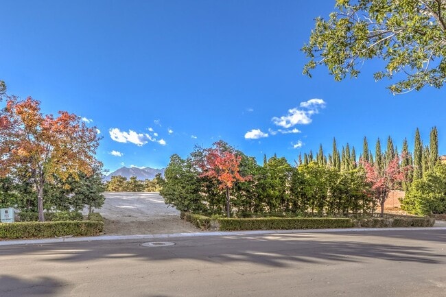


Property Detail
1709 Enclave Ct
Las Vegas-Henderson-North Las Vegas, NV
COUNTRY CLUB HILLS 2 AT SUMMERLIN-UNIT 3 PLAT BOOK 62 PAGE 89 LOT 2 BLOCK D
138-20-416-002
Clark
Vacantlandnec
Nevada
PC
2
B and X Area of moderate flood hazard, usually the area between the limits of the 100-year and 500-year floods.
1.43 AC
2026
Northwest Las Vegas
2026
Las Vegas
003218
NEARBY LISTINGS FOR SALE OR LEASE
DEMOGRAPHICS near 1709 Enclave Ct
1 mile
3 mile
5 mile
2025 Total Population
12,159
156,102
392,491
2030 Population
12,749
163,659
412,128
Pop Growth 2025-2030
+ 4.85%
+ 4.84%
+ 5.00%
Average Age
45
45
42
2025 Total Households
4,929
65,805
154,537
HH Growth 2025-2030
+ 4.99%
+ 4.90%
+ 5.01%
Median Household Inc
$109,143
$81,754
$81,104
Avg Household Size
2.40
2.30
2.50
2025 Avg HH Vehicles
2.00
2.00
2.00
Median Home Value
$592,387
$460,085
$469,913
Median Year Built
1995
1994
1994
Nearby Places
Map Layers
Map Styles
 Street
 Aerial
Layers
 Traffic
 Biking
Places
Listings with unknown addresses are not visible on the map
- Restaurants
- Banks
- Shops
- Fitness
- Groceries
PUBLIC TRANSPORTATION
AIRPORT
Harry Reid International
Drive
Walk
Distance
Harry Reid International
28 min
16.7 mi
Boulder City Municipal
Drive
Walk
Distance
Boulder City Municipal
48 min
36.7 mi
SALE & LEASE HISTORY
LISTING DATE
SALE/LEASE

Dec 06, 2023
For Sale
Nearby Properties
Address
Land Use
TOTAL SIZE
Lot Size
Zoning
Address
Land Use
TOTAL SIZE
Lot Size
Zoning
336,142 SF
39.99 AC
PC
Address
Land Use
TOTAL SIZE
Lot Size
Zoning
338,051 SF
49.13 AC
C1
Address
Land Use
TOTAL SIZE
Lot Size
Zoning
157,011 SF
31.41 AC
Address
Land Use
TOTAL SIZE
Lot Size
Zoning
974,131 SF
19.93 AC
Address
Land Use
TOTAL SIZE
Lot Size
Zoning
100.61 AC
Address
Land Use
TOTAL SIZE
Lot Size
Zoning
40.55 AC
PC
Address
Land Use
TOTAL SIZE
Lot Size
Zoning
38.56 AC
PF
Address
Land Use
TOTAL SIZE
Lot Size
Zoning
161.14 AC
CV
Address
Land Use
TOTAL SIZE
Lot Size
Zoning
408,908 SF
15.60 AC
Address
Land Use
TOTAL SIZE
Lot Size
Zoning
157.50 AC
Address
Land Use
TOTAL SIZE
Lot Size
Zoning
52,690 SF
17.65 AC
RU
Address
Land Use
TOTAL SIZE
Lot Size
Zoning
7,292 SF
24.24 AC
R3
Address
Land Use
TOTAL SIZE
Lot Size
Zoning
5,643 SF
10.29 AC
Address
Land Use
TOTAL SIZE
Lot Size
Zoning
9,840 SF
19.89 AC
PD
Address
Land Use
TOTAL SIZE
Lot Size
Zoning
5,427 SF
17.57 AC
Address
Land Use
TOTAL SIZE
Lot Size
Zoning
37.31 AC
CV
Address
Land Use
TOTAL SIZE
Lot Size
Zoning
3.66 AC
R3
Address
Land Use
TOTAL SIZE
Lot Size
Zoning
7,148 SF
7.26 AC
Address
Land Use
TOTAL SIZE
Lot Size
Zoning
14,793 SF
9.57 AC
CPB
Address
Land Use
TOTAL SIZE
Lot Size
Zoning
246,947 SF
6.56 AC
RU
Address
Land Use
TOTAL SIZE
Lot Size
Zoning
5,979 SF
17.27 AC
RPD21
Address
Land Use
TOTAL SIZE
Lot Size
Zoning
30.07 AC
Address
Land Use
TOTAL SIZE
Lot Size
Zoning
3,895 SF
15.40 AC
PC
Address
Land Use
TOTAL SIZE
Lot Size
Zoning
12,031 SF
17.45 AC
PC
Address
Land Use
TOTAL SIZE
Lot Size
Zoning
450 SF
48.82 AC
Address
Land Use
TOTAL SIZE
Lot Size
Zoning
242,467 SF
6.09 AC
C:C-2
Address
Land Use
TOTAL SIZE
Lot Size
Zoning
151,550 SF
4.50 AC
Address
Land Use
TOTAL SIZE
Lot Size
Zoning
7,191 SF
16.56 AC
PC
Address
Land Use
TOTAL SIZE
Lot Size
Zoning
3,706 SF
13.94 AC
PC
Address
Land Use
TOTAL SIZE
Lot Size
Zoning
181,262 SF
16.63 AC
L:C-2
The World's #1 Commercial Real Estate Marketplace
Connect with us
© 2026 CoStar Group
The information above has been obtained from sources believed reliable. While we do not doubt its accuracy we have not verified it and make no guarantee, warranty or representation about it. It is your responsibility to independently confirm its accuracy and completeness. Any projections, opinions, assumptions, or estimates used are for example only and do not represent the current or future performance of the property. The value of this transaction to you depends on tax and other factors which should be evaluated by your tax, financial, and legal advisors. You and your advisors should conduct a careful, independent investigation of the property to determine to your satisfaction the suitability of the property for your needs.