Property Record
1710 State Route 35, Oakhurst, NJ 07755


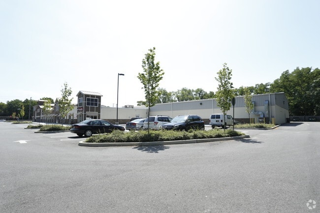
Property Detail
1710 State Route 35
37-00034-0000-00014
MONMOUTH
Storemultistory
New Jersey
C50
14
B and X Area of moderate flood hazard, usually the area between the limits of the 100-year and 500-year floods.
5.38 AC
2024
Eastern Monmouth
2025
Northern New Jersey
806502
Lakewood-New Brunswick, NJ
41,062 SF
NEARBY LISTINGS FOR SALE OR LEASE
-
-
-
-
No Photo
-
-
-
-
-
View all Oakhurst listings for lease on LoopNet.com
DEMOGRAPHICS near 1710 State Route 35
1 mile
3 mile
5 mile
2025 Total Population
10,498
72,662
169,985
2030 Population
10,386
73,445
171,886
Pop Growth 2025-2030
(1.07%)
+ 1.08%
+ 1.12%
Average Age
43
42
42
2025 Total Households
4,522
28,676
69,914
HH Growth 2025-2030
(1.53%)
+ 0.66%
+ 1.08%
Median Household Inc
$85,317
$102,569
$97,156
Avg Household Size
2.30
2.40
2.30
2025 Avg HH Vehicles
2.00
2.00
2.00
Median Home Value
$699,367
$688,172
$645,926
Median Year Built
1976
1971
1970
Nearby Places
Map Layers
Map Styles
 Street
 Aerial
Layers
 Traffic
 Biking
Places
Listings with unknown addresses are not visible on the map
- Restaurants
- Banks
- Shops
- Fitness
- Groceries
PUBLIC TRANSPORTATION
COMMUTER RAIL
Allenhurst (North Jersey Coast Line - NJ Transit Commuter Rail (NJ Transit))
Drive
Walk
Distance
Allenhurst (North Jersey Coast Line - NJ Transit Commuter Rail (NJ Transit))
8 min
3.2 mi
Elberon (North Jersey Coast Line - NJ Transit Commuter Rail (NJ Transit))
Drive
Walk
Distance
Elberon (North Jersey Coast Line - NJ Transit Commuter Rail (NJ Transit))
9 min
3.8 mi
Freight Ports
New York Container Terminal
Drive
Walk
Distance
New York Container Terminal
54 min
40.7 mi
SALE & LEASE HISTORY
LISTING DATE
SALE/LEASE

Sep 25, 2016
For Lease
Jan 23, 2019
For Lease
Aug 11, 2017
For Lease
Nearby Properties
Address
Land Use
TOTAL SIZE
Lot Size
Zoning
Address
Land Use
TOTAL SIZE
Lot Size
Zoning
69,825 SF
94.37 AC
CCRC
Address
Land Use
TOTAL SIZE
Lot Size
Zoning
75.16 AC
MF08
Address
Land Use
TOTAL SIZE
Lot Size
Zoning
7,819 SF
28.41 AC
R-1
Address
Land Use
TOTAL SIZE
Lot Size
Zoning
110,803 SF
51.49 AC
I
Address
Land Use
TOTAL SIZE
Lot Size
Zoning
14,632 SF
111.60 AC
C50
Address
Land Use
TOTAL SIZE
Lot Size
Zoning
35.50 AC
MF08
Address
Land Use
TOTAL SIZE
Lot Size
Zoning
22,877 SF
10.35 AC
IC
Address
Land Use
TOTAL SIZE
Lot Size
Zoning
293,262 SF
28.40 AC
HC
Address
Land Use
TOTAL SIZE
Lot Size
Zoning
1,100 SF
37.83 AC
MF08
Address
Land Use
TOTAL SIZE
Lot Size
Zoning
32.19 AC
MF08
Address
Land Use
TOTAL SIZE
Lot Size
Zoning
194,812 SF
55.01 AC
MF15
Address
Land Use
TOTAL SIZE
Lot Size
Zoning
35.98 AC
MF08
Address
Land Use
TOTAL SIZE
Lot Size
Zoning
16.49 AC
R-2
Address
Land Use
TOTAL SIZE
Lot Size
Zoning
27 AC
MF08
Address
Land Use
TOTAL SIZE
Lot Size
Zoning
201,455 SF
79.34 AC
SF40
Address
Land Use
TOTAL SIZE
Lot Size
Zoning
342,256 SF
20.62 AC
MF08
Address
Land Use
TOTAL SIZE
Lot Size
Zoning
153,160 SF
10.12 AC
OB01
Address
Land Use
TOTAL SIZE
Lot Size
Zoning
5,228 SF
0.02 AC
C-3
Address
Land Use
TOTAL SIZE
Lot Size
Zoning
1,178 SF
21.78 AC
MF08
Address
Land Use
TOTAL SIZE
Lot Size
Zoning
258,088 SF
27.90 AC
IO20
Address
Land Use
TOTAL SIZE
Lot Size
Zoning
142,311 SF
40.82 AC
I
Address
Land Use
TOTAL SIZE
Lot Size
Zoning
224,683 SF
21.56 AC
CHS
Address
Land Use
TOTAL SIZE
Lot Size
Zoning
14.99 AC
MF08
Address
Land Use
TOTAL SIZE
Lot Size
Zoning
108,629 SF
12.05 AC
HC
Address
Land Use
TOTAL SIZE
Lot Size
Zoning
132,378 SF
8.10 AC
OB01
Address
Land Use
TOTAL SIZE
Lot Size
Zoning
14.73 AC
MF08
Address
Land Use
TOTAL SIZE
Lot Size
Zoning
15 AC
MF08
Address
Land Use
TOTAL SIZE
Lot Size
Zoning
22,522 SF
6.25 AC
I
Address
Land Use
TOTAL SIZE
Lot Size
Zoning
101,700 SF
10.54 AC
OB01
Address
Land Use
TOTAL SIZE
Lot Size
Zoning
133,831 SF
18.38 AC
C50
The World's #1 Commercial Real Estate Marketplace
Connect with us
© 2026 CoStar Group
The information above has been obtained from sources believed reliable. While we do not doubt its accuracy we have not verified it and make no guarantee, warranty or representation about it. It is your responsibility to independently confirm its accuracy and completeness. Any projections, opinions, assumptions, or estimates used are for example only and do not represent the current or future performance of the property. The value of this transaction to you depends on tax and other factors which should be evaluated by your tax, financial, and legal advisors. You and your advisors should conduct a careful, independent investigation of the property to determine to your satisfaction the suitability of the property for your needs.