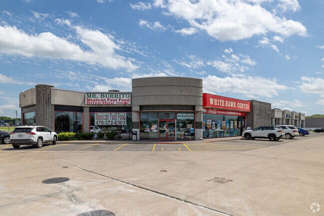
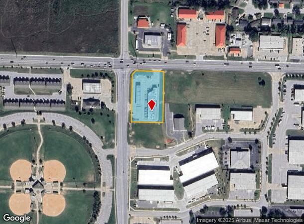
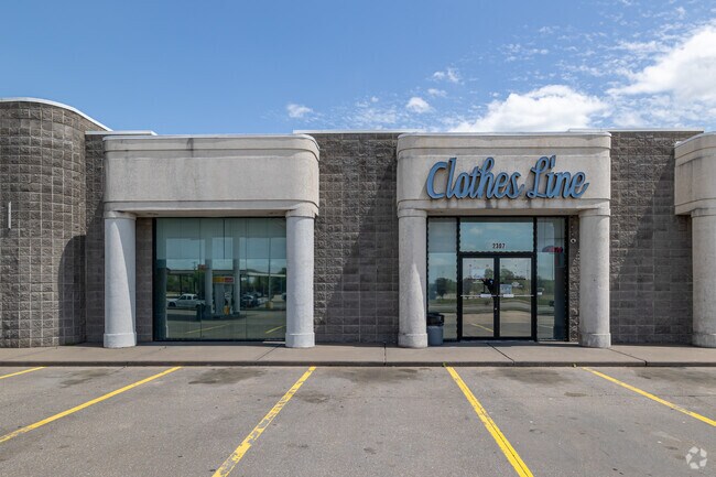
Property Record
1710 W Hudson Rd, Rogers, AR 72756
NEARBY LISTINGS FOR SALE OR LEASE
Property Detail
1710 W Hudson Rd
Fayetteville-Springdale-Rogers, AR-MO
Van Dyke Center-Rogers
02-14303-000
PLAT 8/06/1997 23L-25, REPLAT 5/28/14 2014-257 & REPLAT 9/02/2016 2016-666
Storebuilding
Benton
X
Arkansas
05007C0260K
1a-1
2025
1.50 AC
2025
East Rogers
020301
Fayetteville/Springdale/Rogers
9,282 SF
DEMOGRAPHICS near 1710 W Hudson Rd
1 Mile
3 Mile
5 Mile
2024 Total Population
6,597
45,756
100,450
2029 Population
7,643
53,329
118,095
Pop Growth 2024-2029
+ 15.86%
+ 16.55%
+ 17.57%
Average Age
36
37
37
2024 Total Households
2,507
17,001
37,806
HH Growth 2024-2029
+ 15.88%
+ 16.62%
+ 17.79%
Median Household Inc
$55,906
$63,210
$70,799
Avg Household Size
2.60
2.60
2.60
2024 Avg HH Vehicles
2.00
2.00
2.00
Median Home Value
$199,200
$202,592
$234,919
Median Year Built
1991
1989
1994
Nearby Places
Map Layers
Map Styles
 Street
 Aerial
- Restaurants
- Banks
- Shops
- Fitness
- Groceries
PUBLIC TRANSPORTATION
AIRPORT
Northwest Arkansas Ntl
DRIVE
WALK
Distance
Northwest Arkansas Ntl
26 min
14.8 mi
SALE & LEASE HISTORY
LISTING DATE
SALE/LEASE

Nov 03, 2021
For Sale
Jun 23, 2023
For Sale
Nearby Properties
Address
Land Use
TOTAL SIZE
Lot Size
Zoning
Address
Land Use
TOTAL SIZE
Lot Size
Zoning
147,199 SF
16.11 AC
Address
Land Use
TOTAL SIZE
Lot Size
Zoning
344,315 SF
12.74 AC
Address
Land Use
TOTAL SIZE
Lot Size
Zoning
117,522 SF
0.12 AC
Address
Land Use
TOTAL SIZE
Lot Size
Zoning
216,538 SF
22.14 AC
Address
Land Use
TOTAL SIZE
Lot Size
Zoning
675,465 SF
37.34 AC
Address
Land Use
TOTAL SIZE
Lot Size
Zoning
381,924 SF
10.23 AC
Address
Land Use
TOTAL SIZE
Lot Size
Zoning
746,783 SF
77.03 AC
Address
Land Use
TOTAL SIZE
Lot Size
Zoning
418,411 SF
26.88 AC
Address
Land Use
TOTAL SIZE
Lot Size
Zoning
17,340 SF
14.15 AC
Address
Land Use
TOTAL SIZE
Lot Size
Zoning
542,873 SF
16.52 AC
Address
Land Use
TOTAL SIZE
Lot Size
Zoning
6,545 SF
29.19 AC
Address
Land Use
TOTAL SIZE
Lot Size
Zoning
60,250 SF
60.17 AC
Address
Land Use
TOTAL SIZE
Lot Size
Zoning
97,660 SF
5.35 AC
Address
Land Use
TOTAL SIZE
Lot Size
Zoning
543,020 SF
9.15 AC
Address
Land Use
TOTAL SIZE
Lot Size
Zoning
184,614 SF
5.04 AC
Address
Land Use
TOTAL SIZE
Lot Size
Zoning
30,456 SF
7.78 AC
Address
Land Use
TOTAL SIZE
Lot Size
Zoning
573,476 SF
57.80 AC
Address
Land Use
TOTAL SIZE
Lot Size
Zoning
213,552 SF
20.20 AC
Address
Land Use
TOTAL SIZE
Lot Size
Zoning
176,035 SF
1.48 AC
Address
Land Use
TOTAL SIZE
Lot Size
Zoning
249,843 SF
19.21 AC
Address
Land Use
TOTAL SIZE
Lot Size
Zoning
128,374 SF
10.94 AC
Address
Land Use
TOTAL SIZE
Lot Size
Zoning
161,358 SF
12.23 AC
Address
Land Use
TOTAL SIZE
Lot Size
Zoning
214,791 SF
9.13 AC
Address
Land Use
TOTAL SIZE
Lot Size
Zoning
156,100 SF
7.89 AC
Address
Land Use
TOTAL SIZE
Lot Size
Zoning
31.21 AC
Address
Land Use
TOTAL SIZE
Lot Size
Zoning
152,197 SF
9.99 AC
Address
Land Use
TOTAL SIZE
Lot Size
Zoning
274,312 SF
12.24 AC
Address
Land Use
TOTAL SIZE
Lot Size
Zoning
152,759 SF
12.01 AC
Address
Land Use
TOTAL SIZE
Lot Size
Zoning
73,089 SF
3.67 AC
Address
Land Use
TOTAL SIZE
Lot Size
Zoning
114,250 SF
7.54 AC
The World's #1 Commercial Real Estate Marketplace
Connect with us
© 2025 CoStar Group
The information above has been obtained from sources believed reliable. While we do not doubt its accuracy we have not verified it and make no guarantee, warranty or representation about it. It is your responsibility to independently confirm its accuracy and completeness. Any projections, opinions, assumptions, or estimates used are for example only and do not represent the current or future performance of the property. The value of this transaction to you depends on tax and other factors which should be evaluated by your tax, financial, and legal advisors. You and your advisors should conduct a careful, independent investigation of the property to determine to your satisfaction the suitability of the property for your needs.