Property Record
17100 N May Ave, Edmond, OK 73012


NEARBY LISTINGS FOR SALE OR LEASE
Property Detail
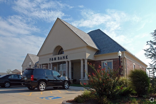
17100 N May Ave
Oklahoma City, OK
Woodvine Commercial I
206061000
WOODVINE COMMERCIAL I 001 001
Financialbuilding
Oklahoma
X
Oklahoma
40083C0500F
1
2023
1.56 AC
2024
Edmond
108235
Oklahoma City
8,752 SF
DEMOGRAPHICS near 17100 N May Ave
1 Mile
3 Mile
5 Mile
2024 Total Population
10,094
66,011
147,820
2029 Population
10,422
68,128
151,664
Pop Growth 2024-2029
+ 3.25%
+ 3.21%
+ 2.60%
Average Age
34
36
37
2024 Total Households
3,530
25,310
60,996
HH Growth 2024-2029
+ 3.37%
+ 3.41%
+ 2.72%
Median Household Inc
$124,436
$95,395
$75,756
Avg Household Size
2.80
2.60
2.40
2024 Avg HH Vehicles
2.00
2.00
2.00
Median Home Value
$277,690
$265,007
$243,567
Median Year Built
2009
2005
1996
Nearby Places
Map Layers
Map Styles
 Street
 Aerial
- Restaurants
- Banks
- Shops
- Fitness
- Groceries
PUBLIC TRANSPORTATION
AIRPORT
Will Rogers World
DRIVE
WALK
Distance
Will Rogers World
32 min
20.4 mi
Freight Ports
Tulsa Port Of Catoosa
DRIVE
WALK
Distance
Tulsa Port Of Catoosa
133 min
122.3 mi
Nearby Properties
Address
Land Use
TOTAL SIZE
Lot Size
Zoning
Address
Land Use
TOTAL SIZE
Lot Size
Zoning
140,312 SF
7.91 AC
C-3
Address
Land Use
TOTAL SIZE
Lot Size
Zoning
27.22 AC
PUD
Address
Land Use
TOTAL SIZE
Lot Size
Zoning
460,954 SF
24.83 AC
PUD
Address
Land Use
TOTAL SIZE
Lot Size
Zoning
594,334 SF
71.64 AC
C-3
Address
Land Use
TOTAL SIZE
Lot Size
Zoning
41,733 SF
2.63 AC
O-1
Address
Land Use
TOTAL SIZE
Lot Size
Zoning
41,733 SF
2.47 AC
C-3
Address
Land Use
TOTAL SIZE
Lot Size
Zoning
376,079 SF
29.77 AC
PUD
Address
Land Use
TOTAL SIZE
Lot Size
Zoning
8,354 SF
16.65 AC
PUD
Address
Land Use
TOTAL SIZE
Lot Size
Zoning
391,776 SF
10.12 AC
PUD
Address
Land Use
TOTAL SIZE
Lot Size
Zoning
304,423 SF
31.20 AC
PUD
Address
Land Use
TOTAL SIZE
Lot Size
Zoning
184,238 SF
7.35 AC
C-3
Address
Land Use
TOTAL SIZE
Lot Size
Zoning
10,811 SF
1.46 AC
PUD
Address
Land Use
TOTAL SIZE
Lot Size
Zoning
247,230 SF
22.75 AC
PUD
Address
Land Use
TOTAL SIZE
Lot Size
Zoning
297,836 SF
15 AC
PUD
Address
Land Use
TOTAL SIZE
Lot Size
Zoning
302,058 SF
23.78 AC
PUD
Address
Land Use
TOTAL SIZE
Lot Size
Zoning
227,714 SF
14.15 AC
PUD
Address
Land Use
TOTAL SIZE
Lot Size
Zoning
294,250 SF
17.85 AC
PUD
Address
Land Use
TOTAL SIZE
Lot Size
Zoning
255,921 SF
9.93 AC
PUD
Address
Land Use
TOTAL SIZE
Lot Size
Zoning
158,078 SF
15.58 AC
PUD
Address
Land Use
TOTAL SIZE
Lot Size
Zoning
191,504 SF
20.03 AC
PUD
Address
Land Use
TOTAL SIZE
Lot Size
Zoning
235,612 SF
28.09 AC
PUD
Address
Land Use
TOTAL SIZE
Lot Size
Zoning
279,215 SF
11.58 AC
PUD
Address
Land Use
TOTAL SIZE
Lot Size
Zoning
403,628 SF
15.57 AC
C-3
Address
Land Use
TOTAL SIZE
Lot Size
Zoning
140,756 SF
7.93 AC
C-3
Address
Land Use
TOTAL SIZE
Lot Size
Zoning
140,153 SF
13.07 AC
PUD
Address
Land Use
TOTAL SIZE
Lot Size
Zoning
333,902 SF
19.32 AC
PUD
Address
Land Use
TOTAL SIZE
Lot Size
Zoning
108,800 SF
7.05 AC
PUD
Address
Land Use
TOTAL SIZE
Lot Size
Zoning
138,200 SF
11.95 AC
C-3
Address
Land Use
TOTAL SIZE
Lot Size
Zoning
102,304 SF
9.89 AC
PUD
Address
Land Use
TOTAL SIZE
Lot Size
Zoning
287,836 SF
16.04 AC
R-4
The World's #1 Commercial Real Estate Marketplace
Connect with us
© 2025 CoStar Group
The information above has been obtained from sources believed reliable. While we do not doubt its accuracy we have not verified it and make no guarantee, warranty or representation about it. It is your responsibility to independently confirm its accuracy and completeness. Any projections, opinions, assumptions, or estimates used are for example only and do not represent the current or future performance of the property. The value of this transaction to you depends on tax and other factors which should be evaluated by your tax, financial, and legal advisors. You and your advisors should conduct a careful, independent investigation of the property to determine to your satisfaction the suitability of the property for your needs.