Property Record
4407 172Nd St Ne, Arlington, WA 98223


NEARBY LISTINGS FOR SALE OR LEASE
Property Detail
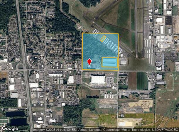
4407 172Nd St Ne
Seattle-Tacoma-Bellevue, WA
Poplar Glen
310521-004-001-00
SECTION 21 TOWNSHIP 31 RANGE 05 QUARTER SE - SE1/4 LESS S 50FT FOR CO RD PER QCD 462/535 LESS ADDL R/W TO CITY OF ARL PER SWD REC AFN 200810210201 & EXC CITY ARL BSP LN#942 REC AFN 202206075002 & ALSO LESS BLDGS ONLY ON 31052100400101, 31052100400102
Airport
Snohomish
X
Washington
53061C0395E
1
0
135.95 AC
2025
N Snohomish County
053509
Seattle/Puget Sound
33,140 SF
DEMOGRAPHICS near 4407 172Nd St Ne
1 Mile
3 Mile
5 Mile
2024 Total Population
2,386
32,244
62,436
2029 Population
2,514
33,635
65,107
Pop Growth 2024-2029
+ 5.36%
+ 4.31%
+ 4.28%
Average Age
38
38
39
2024 Total Households
874
11,672
22,488
HH Growth 2024-2029
+ 5.49%
+ 4.40%
+ 4.39%
Median Household Inc
$64,618
$94,626
$97,735
Avg Household Size
2.70
2.70
2.70
2024 Avg HH Vehicles
2.00
2.00
2.00
Median Home Value
$437,255
$490,063
$523,749
Median Year Built
1983
1995
1993
Nearby Places
Map Layers
Map Styles
 Street
 Aerial
- Restaurants
- Banks
- Shops
- Fitness
- Groceries
PUBLIC TRANSPORTATION
AIRPORT
Seattle Paine Field International
DRIVE
WALK
Distance
Seattle Paine Field International
34 min
22.6 mi
Freight Ports
Port of Everett
DRIVE
WALK
Distance
Port of Everett
25 min
15.1 mi
SALE & LEASE HISTORY
LISTING DATE
SALE/LEASE

Nov 08, 2022
For Lease
Jan 26, 2023
For Lease
Aug 13, 2020
For Lease
Nearby Properties
Address
Land Use
TOTAL SIZE
Lot Size
Zoning
Address
Land Use
TOTAL SIZE
Lot Size
Zoning
2,623,172 SF
32.78 AC
Address
Land Use
TOTAL SIZE
Lot Size
Zoning
407,929 SF
20.45 AC
R12 MFL
Address
Land Use
TOTAL SIZE
Lot Size
Zoning
543,010 SF
108.29 AC
GI
Address
Land Use
TOTAL SIZE
Lot Size
Zoning
242,217 SF
157.97 AC
AF
Address
Land Use
TOTAL SIZE
Lot Size
Zoning
3.14 AC
IP
Address
Land Use
TOTAL SIZE
Lot Size
Zoning
336,508 SF
23.32 AC
LI
Address
Land Use
TOTAL SIZE
Lot Size
Zoning
121,154 SF
144.64 AC
AF
Address
Land Use
TOTAL SIZE
Lot Size
Zoning
229,606 SF
9.28 AC
R18 MFM
Address
Land Use
TOTAL SIZE
Lot Size
Zoning
206,135 SF
4.05 AC
HC
Address
Land Use
TOTAL SIZE
Lot Size
Zoning
1,664 SF
16.93 AC
LI
Address
Land Use
TOTAL SIZE
Lot Size
Zoning
189,663 SF
8.21 AC
MU
Address
Land Use
TOTAL SIZE
Lot Size
Zoning
205,213 SF
8.81 AC
NC
Address
Land Use
TOTAL SIZE
Lot Size
Zoning
231,030 SF
18.48 AC
LI
Address
Land Use
TOTAL SIZE
Lot Size
Zoning
83.67 AC
SQ
Address
Land Use
TOTAL SIZE
Lot Size
Zoning
165,762 SF
7.12 AC
MU
Address
Land Use
TOTAL SIZE
Lot Size
Zoning
186,723 SF
5.36 AC
HC
Address
Land Use
TOTAL SIZE
Lot Size
Zoning
131,319 SF
4.72 AC
MU
Address
Land Use
TOTAL SIZE
Lot Size
Zoning
121,897 SF
1.95 AC
GC
Address
Land Use
TOTAL SIZE
Lot Size
Zoning
9.87 AC
R4.5 SFM
Address
Land Use
TOTAL SIZE
Lot Size
Zoning
117,532 SF
4.72 AC
R18 MFM
Address
Land Use
TOTAL SIZE
Lot Size
Zoning
68,424 SF
2.09 AC
HC
Address
Land Use
TOTAL SIZE
Lot Size
Zoning
259,794 SF
12.48 AC
GI
Address
Land Use
TOTAL SIZE
Lot Size
Zoning
46,272 SF
77.08 AC
AF
Address
Land Use
TOTAL SIZE
Lot Size
Zoning
8,581 SF
75.47 AC
LI
Address
Land Use
TOTAL SIZE
Lot Size
Zoning
2,432 SF
40.54 AC
P/SP
Address
Land Use
TOTAL SIZE
Lot Size
Zoning
182,316 SF
15.03 AC
HC
Address
Land Use
TOTAL SIZE
Lot Size
Zoning
70,712 SF
4 AC
GC
The World's #1 Commercial Real Estate Marketplace
Connect with us
© 2025 CoStar Group
The information above has been obtained from sources believed reliable. While we do not doubt its accuracy we have not verified it and make no guarantee, warranty or representation about it. It is your responsibility to independently confirm its accuracy and completeness. Any projections, opinions, assumptions, or estimates used are for example only and do not represent the current or future performance of the property. The value of this transaction to you depends on tax and other factors which should be evaluated by your tax, financial, and legal advisors. You and your advisors should conduct a careful, independent investigation of the property to determine to your satisfaction the suitability of the property for your needs.