Property Record
17221 E Pine St, Tulsa, OK 74116


Save to a Folder
{{folder.Name}}
{{folder.ListingIds.length}} Properties
{{folder.ListingIds.length}} Property
Create a New Folder
Property Detail
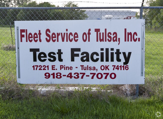
17221 E Pine St
660021636
SE SW SE
Warehouse
Rogers
B and X Area of moderate flood hazard, usually the area between the limits of the 100-year and 500-year floods.
Oklahoma
2025
10 AC
2025
Rogers County
050407
Tulsa
1,600 SF
Tulsa, OK
NEARBY LISTINGS FOR SALE OR LEASE
DEMOGRAPHICS near 17221 E Pine St
1 mile
3 mile
5 mile
2025 Total Population
1,249
10,920
49,877
2030 Population
1,337
11,520
51,930
Pop Growth 2025-2030
+ 7.05%
+ 5.49%
+ 4.12%
Average Age
42
39
36
2025 Total Households
468
4,213
18,152
HH Growth 2025-2030
+ 7.26%
+ 5.51%
+ 4.17%
Median Household Inc
$81,071
$69,872
$59,434
Avg Household Size
2.70
2.60
2.70
2025 Avg HH Vehicles
2.00
2.00
2.00
Median Home Value
$216,071
$196,050
$163,787
Median Year Built
1983
1979
1976
Nearby Places
Map Layers
Map Styles
 Street
 Aerial
Layers
 Traffic
 Biking
Places
Listings with unknown addresses are not visible on the map
- Restaurants
- Banks
- Shops
- Fitness
- Groceries
PUBLIC TRANSPORTATION
AIRPORT
Tulsa International
Drive
Walk
Distance
Tulsa International
19 min
11.2 mi
Nearby Properties
Address
Land Use
TOTAL SIZE
Lot Size
Zoning
Address
Land Use
TOTAL SIZE
Lot Size
Zoning
349,823 SF
203.39 AC
IL
Address
Land Use
TOTAL SIZE
Lot Size
Zoning
11,184 SF
638.56 AC
Address
Land Use
TOTAL SIZE
Lot Size
Zoning
129,087 SF
43.40 AC
IR
Address
Land Use
TOTAL SIZE
Lot Size
Zoning
492,786 SF
76.58 AC
IL
Address
Land Use
TOTAL SIZE
Lot Size
Zoning
3,720 SF
158.66 AC
Address
Land Use
TOTAL SIZE
Lot Size
Zoning
2,852 SF
12.13 AC
Address
Land Use
TOTAL SIZE
Lot Size
Zoning
219,538 SF
20.13 AC
IL
Address
Land Use
TOTAL SIZE
Lot Size
Zoning
6,000 SF
346.13 AC
Address
Land Use
TOTAL SIZE
Lot Size
Zoning
137,668 SF
13.67 AC
IM
Address
Land Use
TOTAL SIZE
Lot Size
Zoning
6,000 SF
0.38 AC
Address
Land Use
TOTAL SIZE
Lot Size
Zoning
64.90 AC
AG
Address
Land Use
TOTAL SIZE
Lot Size
Zoning
62,644 SF
12 AC
Address
Land Use
TOTAL SIZE
Lot Size
Zoning
153,297 SF
16.29 AC
Address
Land Use
TOTAL SIZE
Lot Size
Zoning
103,820 SF
2.50 AC
Address
Land Use
TOTAL SIZE
Lot Size
Zoning
133,875 SF
7.68 AC
Address
Land Use
TOTAL SIZE
Lot Size
Zoning
220,126 SF
16.39 AC
IL
Address
Land Use
TOTAL SIZE
Lot Size
Zoning
7,490 SF
4.62 AC
AG
Address
Land Use
TOTAL SIZE
Lot Size
Zoning
87,500 SF
4.12 AC
IL
Address
Land Use
TOTAL SIZE
Lot Size
Zoning
136,635 SF
31.05 AC
IL
Address
Land Use
TOTAL SIZE
Lot Size
Zoning
81,689 SF
6.84 AC
IM
Address
Land Use
TOTAL SIZE
Lot Size
Zoning
15,925 SF
10.88 AC
AG
Address
Land Use
TOTAL SIZE
Lot Size
Zoning
14,196 SF
1.75 AC
RS1
Address
Land Use
TOTAL SIZE
Lot Size
Zoning
12,294 SF
1.57 AC
RS3
Address
Land Use
TOTAL SIZE
Lot Size
Zoning
15,523 SF
7 AC
AG
Address
Land Use
TOTAL SIZE
Lot Size
Zoning
58,610 SF
4.46 AC
Address
Land Use
TOTAL SIZE
Lot Size
Zoning
2,456 SF
2.18 AC
Address
Land Use
TOTAL SIZE
Lot Size
Zoning
68,725 SF
2.73 AC
Address
Land Use
TOTAL SIZE
Lot Size
Zoning
76,134 SF
9.04 AC
IL
Address
Land Use
TOTAL SIZE
Lot Size
Zoning
1,440 SF
4.84 AC
Address
Land Use
TOTAL SIZE
Lot Size
Zoning
11,115 SF
2.61 AC
RS3
The World's #1 Commercial Real Estate Marketplace
Connect with us
© 2026 CoStar Group
The information above has been obtained from sources believed reliable. While we do not doubt its accuracy we have not verified it and make no guarantee, warranty or representation about it. It is your responsibility to independently confirm its accuracy and completeness. Any projections, opinions, assumptions, or estimates used are for example only and do not represent the current or future performance of the property. The value of this transaction to you depends on tax and other factors which should be evaluated by your tax, financial, and legal advisors. You and your advisors should conduct a careful, independent investigation of the property to determine to your satisfaction the suitability of the property for your needs.