Property Record
1723 Herbelin Rd, New Braunfels, TX 78132

NEARBY LISTINGS FOR SALE OR LEASE
-
-
View all New Braunfels listings for sale on LoopNet.com
Property Detail
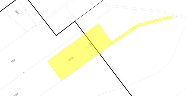
1723 Herbelin Rd
78-0616-0002-01
A-616 Sur-349 J M Tejerino
Commercialnec
A-616 SUR-349 J M TEJERINO, ACRES 12.487, A-698 SUR-839 GWT & P RR A-698 SUR-839 GWT & P RR
A
Comal
48091C0245F
Texas
2023
12.49 AC
2025
Comal County
310707
San Antonio
25,278 SF
San Antonio-New Braunfels, TX
DEMOGRAPHICS near 1723 Herbelin Rd
1 Mile
3 Mile
5 Mile
2024 Total Population
1,104
9,197
15,283
2029 Population
1,561
12,956
21,393
Pop Growth 2024-2029
+ 41.39%
+ 40.87%
+ 39.98%
Average Age
43
44
44
2024 Total Households
394
3,339
5,523
HH Growth 2024-2029
+ 41.12%
+ 40.64%
+ 39.82%
Median Household Inc
$217,130
$151,343
$152,103
Avg Household Size
2.80
2.70
2.70
2024 Avg HH Vehicles
3.00
3.00
3.00
Median Home Value
$736,933
$685,439
$665,900
Median Year Built
2011
2011
2010
Nearby Places
Map Layers
Map Styles
 Street
 Aerial
- Restaurants
- Banks
- Shops
- Fitness
- Groceries
PUBLIC TRANSPORTATION
AIRPORT
San Antonio International
DRIVE
WALK
Distance
San Antonio International
44 min
31.0 mi
Freight Ports
Calhoun Port
DRIVE
WALK
Distance
Calhoun Port
192 min
156.7 mi
Nearby Properties
Address
Land Use
TOTAL SIZE
Lot Size
Zoning
Address
Land Use
TOTAL SIZE
Lot Size
Zoning
18,600 SF
12.62 AC
Address
Land Use
TOTAL SIZE
Lot Size
Zoning
9,800 SF
3.58 AC
Address
Land Use
TOTAL SIZE
Lot Size
Zoning
11,876 SF
5.58 AC
Address
Land Use
TOTAL SIZE
Lot Size
Zoning
17,657 SF
18.59 AC
Address
Land Use
TOTAL SIZE
Lot Size
Zoning
6,418 SF
5.73 AC
Address
Land Use
TOTAL SIZE
Lot Size
Zoning
11,924 SF
6.08 AC
Address
Land Use
TOTAL SIZE
Lot Size
Zoning
3,094 SF
15.97 AC
Address
Land Use
TOTAL SIZE
Lot Size
Zoning
6,267 SF
5.58 AC
Address
Land Use
TOTAL SIZE
Lot Size
Zoning
8,640 SF
8 AC
Address
Land Use
TOTAL SIZE
Lot Size
Zoning
Address
Land Use
TOTAL SIZE
Lot Size
Zoning
5,592 SF
47.86 AC
Address
Land Use
TOTAL SIZE
Lot Size
Zoning
5,651 SF
9.58 AC
Address
Land Use
TOTAL SIZE
Lot Size
Zoning
Address
Land Use
TOTAL SIZE
Lot Size
Zoning
1,422 SF
2.57 AC
Address
Land Use
TOTAL SIZE
Lot Size
Zoning
6,562 SF
242.42 AC
Address
Land Use
TOTAL SIZE
Lot Size
Zoning
7.83 AC
Address
Land Use
TOTAL SIZE
Lot Size
Zoning
12.48 AC
Address
Land Use
TOTAL SIZE
Lot Size
Zoning
4,615 SF
6.58 AC
Address
Land Use
TOTAL SIZE
Lot Size
Zoning
Address
Land Use
TOTAL SIZE
Lot Size
Zoning
5,360 SF
74.36 AC
Address
Land Use
TOTAL SIZE
Lot Size
Zoning
25.11 AC
Address
Land Use
TOTAL SIZE
Lot Size
Zoning
Address
Land Use
TOTAL SIZE
Lot Size
Zoning
4,953 SF
15.11 AC
Address
Land Use
TOTAL SIZE
Lot Size
Zoning
Address
Land Use
TOTAL SIZE
Lot Size
Zoning
4,389 SF
1.63 AC
Address
Land Use
TOTAL SIZE
Lot Size
Zoning
4,946 SF
1.22 AC
Address
Land Use
TOTAL SIZE
Lot Size
Zoning
11,650 SF
1.31 AC
Address
Land Use
TOTAL SIZE
Lot Size
Zoning
4,463 SF
1.01 AC
Address
Land Use
TOTAL SIZE
Lot Size
Zoning
1,530 SF
6.34 AC
The World's #1 Commercial Real Estate Marketplace
Connect with us
© 2025 CoStar Group
The information above has been obtained from sources believed reliable. While we do not doubt its accuracy we have not verified it and make no guarantee, warranty or representation about it. It is your responsibility to independently confirm its accuracy and completeness. Any projections, opinions, assumptions, or estimates used are for example only and do not represent the current or future performance of the property. The value of this transaction to you depends on tax and other factors which should be evaluated by your tax, financial, and legal advisors. You and your advisors should conduct a careful, independent investigation of the property to determine to your satisfaction the suitability of the property for your needs.