Property Record
1725 River Rd, Johns Island, SC 29455


Property Detail
1725 River Rd
Charleston-North Charleston, SC
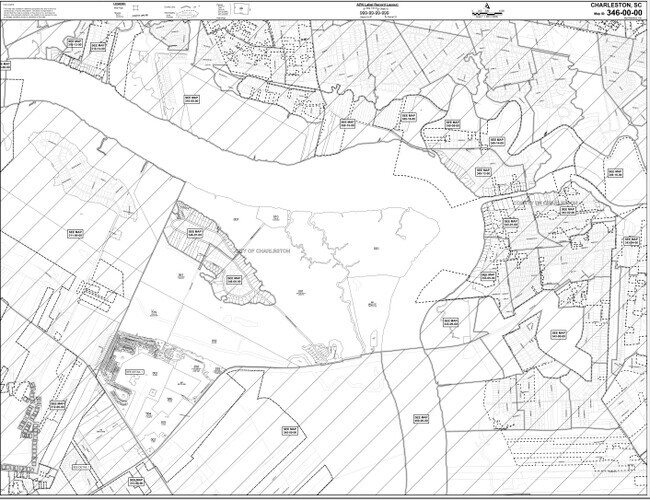
MAPPLATB L25 MAPPLATP 0131 SUBDIVISIONNAME CITY OF CHARLESTON TRACT B-2-1-A
346-00-00-004
CHARLESTON
Residentialacreage
South Carolina
B and X Area of moderate flood hazard, usually the area between the limits of the 100-year and 500-year floods.
9.35 AC
2025
West Islands
2024
Charleston/N Charleston
002106
NEARBY LISTINGS FOR SALE OR LEASE
DEMOGRAPHICS near 1725 River Rd
1 mile
3 mile
5 mile
2025 Total Population
3,675
23,327
85,216
2030 Population
3,849
24,294
88,404
Pop Growth 2025-2030
+ 4.73%
+ 4.15%
+ 3.74%
Average Age
39
41
41
2025 Total Households
1,597
10,005
39,188
HH Growth 2025-2030
+ 4.76%
+ 4.16%
+ 3.75%
Median Household Inc
$114,975
$110,131
$94,195
Avg Household Size
2.30
2.30
2.10
2025 Avg HH Vehicles
2.00
2.00
2.00
Median Home Value
$464,372
$473,251
$454,289
Median Year Built
2009
1998
1987
Nearby Places
Map Layers
Map Styles
 Street
 Aerial
Transit
 Traffic
 Biking
Places
Listings with unknown addresses are not visible on the map
- Restaurants
- Banks
- Shops
- Fitness
- Groceries
PUBLIC TRANSPORTATION
AIRPORT
Charleston AFB/International
Drive
Walk
Distance
Charleston AFB/International
32 min
19.0 mi
Freight Ports
Columbus Street Terminal
Drive
Walk
Distance
Columbus Street Terminal
16 min
8.2 mi
Nearby Properties
Address
Land Use
TOTAL SIZE
Lot Size
Zoning
Address
Land Use
TOTAL SIZE
Lot Size
Zoning
55.08 AC
Address
Land Use
TOTAL SIZE
Lot Size
Zoning
34,609 SF
3.57 AC
Address
Land Use
TOTAL SIZE
Lot Size
Zoning
17.22 AC
Address
Land Use
TOTAL SIZE
Lot Size
Zoning
11,625 SF
9.17 AC
Address
Land Use
TOTAL SIZE
Lot Size
Zoning
21,612 SF
14.90 AC
Address
Land Use
TOTAL SIZE
Lot Size
Zoning
1.11 AC
Address
Land Use
TOTAL SIZE
Lot Size
Zoning
301.64 AC
Address
Land Use
TOTAL SIZE
Lot Size
Zoning
21,292 SF
3.82 AC
Address
Land Use
TOTAL SIZE
Lot Size
Zoning
2,024 SF
Address
Land Use
TOTAL SIZE
Lot Size
Zoning
Address
Land Use
TOTAL SIZE
Lot Size
Zoning
950 SF
10.11 AC
Address
Land Use
TOTAL SIZE
Lot Size
Zoning
21,612 SF
4 AC
Address
Land Use
TOTAL SIZE
Lot Size
Zoning
943 SF
2.81 AC
Address
Land Use
TOTAL SIZE
Lot Size
Zoning
Address
Land Use
TOTAL SIZE
Lot Size
Zoning
32.40 AC
Address
Land Use
TOTAL SIZE
Lot Size
Zoning
5,760 SF
63.40 AC
Address
Land Use
TOTAL SIZE
Lot Size
Zoning
12,788 SF
1.99 AC
Address
Land Use
TOTAL SIZE
Lot Size
Zoning
2,815 SF
5.75 AC
Address
Land Use
TOTAL SIZE
Lot Size
Zoning
Address
Land Use
TOTAL SIZE
Lot Size
Zoning
0.30 AC
Address
Land Use
TOTAL SIZE
Lot Size
Zoning
900 SF
3.23 AC
Address
Land Use
TOTAL SIZE
Lot Size
Zoning
Address
Land Use
TOTAL SIZE
Lot Size
Zoning
37,926 SF
7.50 AC
Address
Land Use
TOTAL SIZE
Lot Size
Zoning
1,720 SF
4.94 AC
Address
Land Use
TOTAL SIZE
Lot Size
Zoning
1,584 SF
2.50 AC
Address
Land Use
TOTAL SIZE
Lot Size
Zoning
13.71 AC
Address
Land Use
TOTAL SIZE
Lot Size
Zoning
Address
Land Use
TOTAL SIZE
Lot Size
Zoning
24.13 AC
Address
Land Use
TOTAL SIZE
Lot Size
Zoning
10.91 AC
The World's #1 Commercial Real Estate Marketplace
Connect with us
© 2026 CoStar Group
The information above has been obtained from sources believed reliable. While we do not doubt its accuracy we have not verified it and make no guarantee, warranty or representation about it. It is your responsibility to independently confirm its accuracy and completeness. Any projections, opinions, assumptions, or estimates used are for example only and do not represent the current or future performance of the property. The value of this transaction to you depends on tax and other factors which should be evaluated by your tax, financial, and legal advisors. You and your advisors should conduct a careful, independent investigation of the property to determine to your satisfaction the suitability of the property for your needs.