Property Record
1726 Marcella Heights Dr, Carroll, IA 51401
NEARBY LISTINGS FOR SALE OR LEASE
Property Detail
1726 Marcella Heights Dr
Sacramento
Equip
Sacramento-Roseville-Folsom, CA
POR PCL 1 & PCL 3 DOC 19-30572
025-120-038-000
Yolo
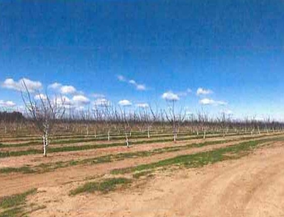
Orchard
California
2024
37.38 AC
2025
Davis/Woodland
011207
DEMOGRAPHICS near 1726 Marcella Heights Dr
1 Mile
3 Mile
5 Mile
2024 Total Population
311
19,821
49,948
2029 Population
300
19,907
50,441
Pop Growth 2024-2029
(3.54%)
+ 0.43%
+ 0.99%
Average Age
42
39
39
2024 Total Households
108
7,340
17,582
HH Growth 2024-2029
(3.70%)
+ 0.53%
+ 0.97%
Median Household Inc
$59,389
$67,757
$71,913
Avg Household Size
2.80
2.60
2.70
2024 Avg HH Vehicles
2.00
2.00
2.00
Median Home Value
$812,499
$480,988
$453,871
Median Year Built
1969
1979
1975
Nearby Places
Map Layers
Map Styles
 Street
 Aerial
- Restaurants
- Banks
- Shops
- Fitness
- Groceries
PUBLIC TRANSPORTATION
AIRPORT
Sacramento International
DRIVE
WALK
Distance
Sacramento International
27 min
18.1 mi
Freight Ports
Port of Stockton
DRIVE
WALK
Distance
Port of Stockton
85 min
71.6 mi
SALE & LEASE HISTORY
LISTING DATE
SALE/LEASE

May 05, 2021
For Sale
Jul 08, 2019
For Sale
Apr 04, 2019
For Sale
Nearby Properties
Address
Land Use
TOTAL SIZE
Lot Size
Zoning
Address
Land Use
TOTAL SIZE
Lot Size
Zoning
112.50 AC
A1
Address
Land Use
TOTAL SIZE
Lot Size
Zoning
180,816 SF
0.17 AC
R-M
Address
Land Use
TOTAL SIZE
Lot Size
Zoning
83,280 SF
0.22 AC
R-M
Address
Land Use
TOTAL SIZE
Lot Size
Zoning
4,000 SF
51.48 AC
A1
Address
Land Use
TOTAL SIZE
Lot Size
Zoning
2.98 AC
C2
Address
Land Use
TOTAL SIZE
Lot Size
Zoning
0.21 AC
R1
Address
Land Use
TOTAL SIZE
Lot Size
Zoning
101,334 SF
8.52 AC
C2
Address
Land Use
TOTAL SIZE
Lot Size
Zoning
64,896 SF
4.39 AC
R-M
Address
Land Use
TOTAL SIZE
Lot Size
Zoning
58,050 SF
6.55 AC
R-M
Address
Land Use
TOTAL SIZE
Lot Size
Zoning
62,208 SF
3.07 AC
R-M
Address
Land Use
TOTAL SIZE
Lot Size
Zoning
130,647 SF
0.14 AC
R2
Address
Land Use
TOTAL SIZE
Lot Size
Zoning
4.16 AC
R4
Address
Land Use
TOTAL SIZE
Lot Size
Zoning
71,280 SF
0.23 AC
R-M
Address
Land Use
TOTAL SIZE
Lot Size
Zoning
3.43 AC
Address
Land Use
TOTAL SIZE
Lot Size
Zoning
90,320 SF
7.18 AC
C2
Address
Land Use
TOTAL SIZE
Lot Size
Zoning
12.43 AC
R1
Address
Land Use
TOTAL SIZE
Lot Size
Zoning
40,452 SF
2.41 AC
R3
Address
Land Use
TOTAL SIZE
Lot Size
Zoning
22,058 SF
1.31 AC
R-M
Address
Land Use
TOTAL SIZE
Lot Size
Zoning
40,664 SF
4.06 AC
R3
Address
Land Use
TOTAL SIZE
Lot Size
Zoning
56,732 SF
31.20 AC
RM
Address
Land Use
TOTAL SIZE
Lot Size
Zoning
17,340 SF
1.49 AC
Address
Land Use
TOTAL SIZE
Lot Size
Zoning
64,996 SF
0.32 AC
R3
Address
Land Use
TOTAL SIZE
Lot Size
Zoning
34,414 SF
2.29 AC
C2
Address
Land Use
TOTAL SIZE
Lot Size
Zoning
1.50 AC
RM
Address
Land Use
TOTAL SIZE
Lot Size
Zoning
35,795 SF
2.67 AC
C2
Address
Land Use
TOTAL SIZE
Lot Size
Zoning
0.33 AC
R3
Address
Land Use
TOTAL SIZE
Lot Size
Zoning
15,737 SF
2 AC
C2
Address
Land Use
TOTAL SIZE
Lot Size
Zoning
52,581 SF
0.64 AC
R-M
Address
Land Use
TOTAL SIZE
Lot Size
Zoning
74.05 AC
Address
Land Use
TOTAL SIZE
Lot Size
Zoning
18,730 SF
1.80 AC
C2
The World's #1 Commercial Real Estate Marketplace
Connect with us
© 2026 CoStar Group
The information above has been obtained from sources believed reliable. While we do not doubt its accuracy we have not verified it and make no guarantee, warranty or representation about it. It is your responsibility to independently confirm its accuracy and completeness. Any projections, opinions, assumptions, or estimates used are for example only and do not represent the current or future performance of the property. The value of this transaction to you depends on tax and other factors which should be evaluated by your tax, financial, and legal advisors. You and your advisors should conduct a careful, independent investigation of the property to determine to your satisfaction the suitability of the property for your needs.