Property Record
1729 Mcpherson Ave, Council Bluffs, IA 51503
NEARBY LISTINGS FOR SALE OR LEASE
Property Detail
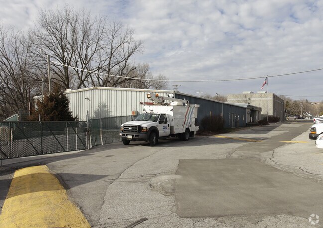
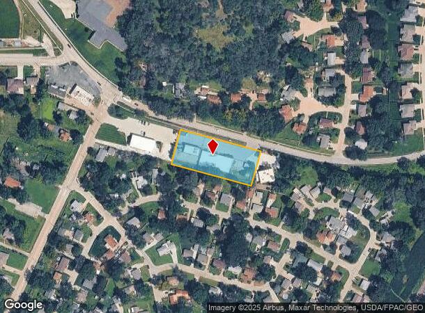
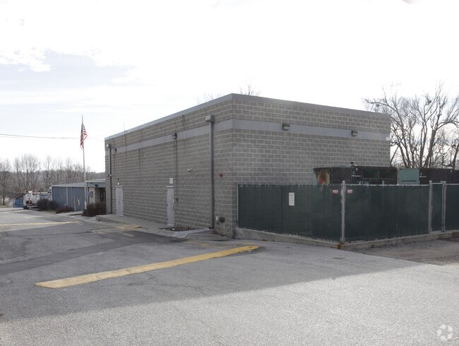
1729 Mcpherson Ave
Omaha-Council Bluffs, NE-IA
Auditors Subdivision Nenw 32 75 43
7543-32-128-002
SECTION 32-75-43 PT LT 2 NE NW COMM 198'SE 180'SW 362'SE OF INTERSECTION C/L MCPHERSON AVE AND~NLINE NE NW TH SE350'NLY150' NW350'SLY150' TO POB
Officebuilding
Pottawattamie
X
Iowa
31055C0275H
43
2025
1.21 AC
2025
Council Bluffs
031700
Omaha/Council Bluffs
5,400 SF
DEMOGRAPHICS near 1729 Mcpherson Ave
1 Mile
3 Mile
5 Mile
2024 Total Population
5,572
39,521
67,450
2029 Population
5,520
39,318
67,047
Pop Growth 2024-2029
(0.93%)
(0.51%)
(0.60%)
Average Age
43
41
41
2024 Total Households
2,227
15,791
26,496
HH Growth 2024-2029
(1.12%)
(0.54%)
(0.65%)
Median Household Inc
$89,751
$68,724
$63,573
Avg Household Size
2.30
2.30
2.40
2024 Avg HH Vehicles
2.00
2.00
2.00
Median Home Value
$213,866
$191,089
$172,435
Median Year Built
1976
1966
1965
Nearby Places
Map Layers
Map Styles
 Street
 Aerial
- Restaurants
- Banks
- Shops
- Fitness
- Groceries
PUBLIC TRANSPORTATION
COMMUTER RAIL
DRIVE
WALK
Distance
15 min
9.2 mi
DRIVE
WALK
Distance
15 min
9.4 mi
AIRPORT
Eppley Airfield
DRIVE
WALK
Distance
Eppley Airfield
23 min
12.6 mi
Nearby Properties
Address
Land Use
TOTAL SIZE
Lot Size
Zoning
Address
Land Use
TOTAL SIZE
Lot Size
Zoning
185.50 AC
A-2
Address
Land Use
TOTAL SIZE
Lot Size
Zoning
11.85 AC
R-3
Address
Land Use
TOTAL SIZE
Lot Size
Zoning
16.87 AC
P-C
Address
Land Use
TOTAL SIZE
Lot Size
Zoning
17.49 AC
R-3
Address
Land Use
TOTAL SIZE
Lot Size
Zoning
2.91 AC
A-P
Address
Land Use
TOTAL SIZE
Lot Size
Zoning
17.40 AC
A-P
Address
Land Use
TOTAL SIZE
Lot Size
Zoning
4,216 SF
17.29 AC
R-4
Address
Land Use
TOTAL SIZE
Lot Size
Zoning
22.91 AC
A-P
Address
Land Use
TOTAL SIZE
Lot Size
Zoning
30.64 AC
R-1
Address
Land Use
TOTAL SIZE
Lot Size
Zoning
8.34 AC
R-3
Address
Land Use
TOTAL SIZE
Lot Size
Zoning
1.99 AC
C-3
Address
Land Use
TOTAL SIZE
Lot Size
Zoning
21.72 AC
I-2
Address
Land Use
TOTAL SIZE
Lot Size
Zoning
21.91 AC
P-C
Address
Land Use
TOTAL SIZE
Lot Size
Zoning
582.98 AC
A-2
Address
Land Use
TOTAL SIZE
Lot Size
Zoning
18.68 AC
C-2
Address
Land Use
TOTAL SIZE
Lot Size
Zoning
18.41 AC
R-3
Address
Land Use
TOTAL SIZE
Lot Size
Zoning
9.06 AC
R-3
Address
Land Use
TOTAL SIZE
Lot Size
Zoning
4.48 AC
R-4
Address
Land Use
TOTAL SIZE
Lot Size
Zoning
7.72 AC
P-C
Address
Land Use
TOTAL SIZE
Lot Size
Zoning
7.17 AC
R-3
Address
Land Use
TOTAL SIZE
Lot Size
Zoning
8.42 AC
R-3
Address
Land Use
TOTAL SIZE
Lot Size
Zoning
28.70 AC
A-P
Address
Land Use
TOTAL SIZE
Lot Size
Zoning
4.87 AC
C-2
Address
Land Use
TOTAL SIZE
Lot Size
Zoning
864 SF
7.37 AC
C-2
Address
Land Use
TOTAL SIZE
Lot Size
Zoning
81.55 AC
A-2
Address
Land Use
TOTAL SIZE
Lot Size
Zoning
13.81 AC
P-C
Address
Land Use
TOTAL SIZE
Lot Size
Zoning
201,260 SF
10.65 AC
C-4
Address
Land Use
TOTAL SIZE
Lot Size
Zoning
44,123 SF
5.62 AC
P-C
Address
Land Use
TOTAL SIZE
Lot Size
Zoning
10.96 AC
R-1
Address
Land Use
TOTAL SIZE
Lot Size
Zoning
5.66 AC
R-3
The World's #1 Commercial Real Estate Marketplace
Connect with us
© 2026 CoStar Group
The information above has been obtained from sources believed reliable. While we do not doubt its accuracy we have not verified it and make no guarantee, warranty or representation about it. It is your responsibility to independently confirm its accuracy and completeness. Any projections, opinions, assumptions, or estimates used are for example only and do not represent the current or future performance of the property. The value of this transaction to you depends on tax and other factors which should be evaluated by your tax, financial, and legal advisors. You and your advisors should conduct a careful, independent investigation of the property to determine to your satisfaction the suitability of the property for your needs.