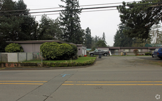
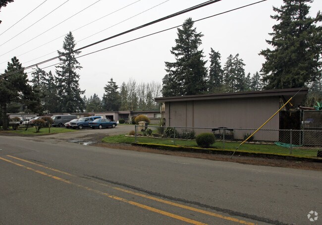
Property Record
17385 Pilkington Rd, Lake Oswego, OR 97035


NEARBY LISTINGS FOR SALE OR LEASE
Property Detail
17385 Pilkington Rd
Portland-Vancouver-Hillsboro, OR-WA
Rosewood
00337745
102 ROSEWOOD PT LT 18
Multifamilyacreage
Clackamas
X
Oregon
41067C0563E
18
2025
0.73 AC
2025
Rosewood
020401
Portland
DEMOGRAPHICS near 17385 Pilkington Rd
1 Mile
3 Mile
5 Mile
2024 Total Population
8,948
86,019
223,794
2029 Population
9,150
87,471
225,599
Pop Growth 2024-2029
+ 2.26%
+ 1.69%
+ 0.81%
Average Age
43
42
42
2024 Total Households
3,538
35,411
89,979
HH Growth 2024-2029
+ 2.26%
+ 1.71%
+ 0.81%
Median Household Inc
$129,275
$99,817
$102,800
Avg Household Size
2.50
2.40
2.40
2024 Avg HH Vehicles
2.00
2.00
2.00
Median Home Value
$781,417
$680,994
$644,199
Median Year Built
1975
1984
1982
Nearby Places
Map Layers
Map Styles
 Street
 Aerial
- Restaurants
- Banks
- Shops
- Fitness
- Groceries
PUBLIC TRANSPORTATION
COMMUTER RAIL
Tualatin (Westside Express Service - Tri-County Metropolitan Transportation District of Oregon Rail (TriMet Rail))
DRIVE
WALK
Distance
Tualatin (Westside Express Service - Tri-County Metropolitan Transportation District of Oregon Rail (TriMet Rail))
5 min
2.2 mi
Tigard Transit Center (Westside Express Service - Tri-County Metropolitan Transportation District of Oregon Rail (TriMet Rail))
DRIVE
WALK
Distance
Tigard Transit Center (Westside Express Service - Tri-County Metropolitan Transportation District of Oregon Rail (TriMet Rail))
10 min
4.0 mi
AIRPORT
Portland International
DRIVE
WALK
Distance
Portland International
36 min
23.0 mi
Freight Ports
Port of Portland
DRIVE
WALK
Distance
Port of Portland
22 min
14.2 mi
Nearby Properties
Address
Land Use
TOTAL SIZE
Lot Size
Zoning
Address
Land Use
TOTAL SIZE
Lot Size
Zoning
49.34 AC
I-P
Address
Land Use
TOTAL SIZE
Lot Size
Zoning
828,566 SF
54.77 AC
CI2
Address
Land Use
TOTAL SIZE
Lot Size
Zoning
511,394 SF
18.68 AC
MUC
Address
Land Use
TOTAL SIZE
Lot Size
Zoning
Address
Land Use
TOTAL SIZE
Lot Size
Zoning
1 SF
16 AC
R-5
Address
Land Use
TOTAL SIZE
Lot Size
Zoning
Address
Land Use
TOTAL SIZE
Lot Size
Zoning
43.20 AC
R-4.5
Address
Land Use
TOTAL SIZE
Lot Size
Zoning
216,381 SF
24.95 AC
CG
Address
Land Use
TOTAL SIZE
Lot Size
Zoning
14.77 AC
MUE
Address
Land Use
TOTAL SIZE
Lot Size
Zoning
88,000 SF
15.49 AC
R-4.5
Address
Land Use
TOTAL SIZE
Lot Size
Zoning
0.14 AC
MG
Address
Land Use
TOTAL SIZE
Lot Size
Zoning
20.82 AC
R-5
Address
Land Use
TOTAL SIZE
Lot Size
Zoning
6 AC
MC
Address
Land Use
TOTAL SIZE
Lot Size
Zoning
183,133 SF
8.17 AC
R-25
Address
Land Use
TOTAL SIZE
Lot Size
Zoning
Address
Land Use
TOTAL SIZE
Lot Size
Zoning
174,043 SF
20.35 AC
CC
Address
Land Use
TOTAL SIZE
Lot Size
Zoning
4 AC
MC
Address
Land Use
TOTAL SIZE
Lot Size
Zoning
5,724 SF
13.95 AC
NC/R-0
Address
Land Use
TOTAL SIZE
Lot Size
Zoning
18 AC
RMH
Address
Land Use
TOTAL SIZE
Lot Size
Zoning
10.81 AC
RH
Address
Land Use
TOTAL SIZE
Lot Size
Zoning
190,012 SF
4.59 AC
IP
Address
Land Use
TOTAL SIZE
Lot Size
Zoning
88,000 SF
12.62 AC
R-4.5
Address
Land Use
TOTAL SIZE
Lot Size
Zoning
294,220 SF
15.10 AC
RH
Address
Land Use
TOTAL SIZE
Lot Size
Zoning
301,940 SF
15.04 AC
MU-CBD
Address
Land Use
TOTAL SIZE
Lot Size
Zoning
71,930 SF
22.68 AC
CO
Address
Land Use
TOTAL SIZE
Lot Size
Zoning
Address
Land Use
TOTAL SIZE
Lot Size
Zoning
68,450 SF
19.39 AC
ML
Address
Land Use
TOTAL SIZE
Lot Size
Zoning
121,664 SF
11.65 AC
C-G
Address
Land Use
TOTAL SIZE
Lot Size
Zoning
3 AC
CR&D
The World's #1 Commercial Real Estate Marketplace
Connect with us
© 2025 CoStar Group
The information above has been obtained from sources believed reliable. While we do not doubt its accuracy we have not verified it and make no guarantee, warranty or representation about it. It is your responsibility to independently confirm its accuracy and completeness. Any projections, opinions, assumptions, or estimates used are for example only and do not represent the current or future performance of the property. The value of this transaction to you depends on tax and other factors which should be evaluated by your tax, financial, and legal advisors. You and your advisors should conduct a careful, independent investigation of the property to determine to your satisfaction the suitability of the property for your needs.