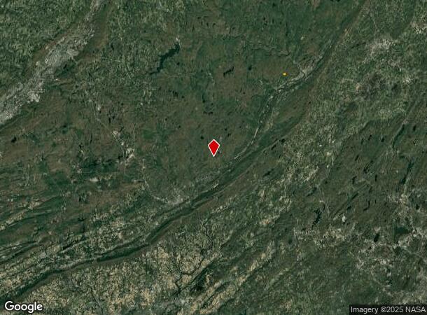
Property Record
174 Radcliff Rd, Bushkill, PA 18324

Property Detail
174 Radcliff Rd
Hemlock Farms, PA
8.12 AC ACT 319
107936
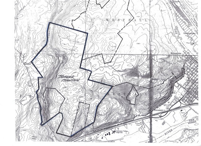
PIKE
Agriculturalland
Pennsylvania
B and X Area of moderate flood hazard, usually the area between the limits of the 100-year and 500-year floods.
8.12 AC
2024
Pike County
2025
Northern New Jersey
950805
NEARBY LISTINGS FOR SALE OR LEASE
-
-
View all Bushkill listings for sale on LoopNet.com
DEMOGRAPHICS near 174 Radcliff Rd
1 mile
3 mile
5 mile
2025 Total Population
194
2,359
19,898
2030 Population
190
2,376
20,207
Pop Growth 2025-2030
(2.06%)
+ 0.72%
+ 1.55%
Average Age
45
49
43
2025 Total Households
76
1,022
8,293
HH Growth 2025-2030
(2.63%)
+ 0.78%
+ 1.59%
Median Household Inc
$91,666
$68,928
$67,560
Avg Household Size
2.50
2.20
2.30
2025 Avg HH Vehicles
2.00
2.00
2.00
Median Home Value
$284,999
$303,665
$284,087
Median Year Built
1983
1986
1964
Nearby Places
Map Layers
Map Styles
 Street
 Aerial
Layers
 Traffic
 Biking
Places
Listings with unknown addresses are not visible on the map
- Restaurants
- Banks
- Shops
- Fitness
- Groceries
Nearby Properties
Address
Land Use
TOTAL SIZE
Lot Size
Zoning
Address
Land Use
TOTAL SIZE
Lot Size
Zoning
17,249 SF
82.33 AC
R1
Address
Land Use
TOTAL SIZE
Lot Size
Zoning
185,833 SF
155 AC
Address
Land Use
TOTAL SIZE
Lot Size
Zoning
9,135 SF
64.26 AC
R2
Address
Land Use
TOTAL SIZE
Lot Size
Zoning
47.94 AC
CON
Address
Land Use
TOTAL SIZE
Lot Size
Zoning
65,078 SF
190 AC
Address
Land Use
TOTAL SIZE
Lot Size
Zoning
48,886 SF
51.75 AC
Address
Land Use
TOTAL SIZE
Lot Size
Zoning
263,237 SF
610.97 AC
Address
Land Use
TOTAL SIZE
Lot Size
Zoning
120.94 AC
CON
Address
Land Use
TOTAL SIZE
Lot Size
Zoning
361.61 AC
R1
Address
Land Use
TOTAL SIZE
Lot Size
Zoning
160 AC
CON
Address
Land Use
TOTAL SIZE
Lot Size
Zoning
4,080 SF
59.45 AC
CON
Address
Land Use
TOTAL SIZE
Lot Size
Zoning
1,920 SF
4.55 AC
C1
Address
Land Use
TOTAL SIZE
Lot Size
Zoning
34.60 AC
C1
Address
Land Use
TOTAL SIZE
Lot Size
Zoning
1.23 AC
C1
Address
Land Use
TOTAL SIZE
Lot Size
Zoning
960 SF
0.67 AC
R3
Address
Land Use
TOTAL SIZE
Lot Size
Zoning
0.90 AC
CON
Address
Land Use
TOTAL SIZE
Lot Size
Zoning
21,250 SF
11.44 AC
C1
Address
Land Use
TOTAL SIZE
Lot Size
Zoning
214.11 AC
Address
Land Use
TOTAL SIZE
Lot Size
Zoning
20,584 SF
64.31 AC
Address
Land Use
TOTAL SIZE
Lot Size
Zoning
4.83 AC
R3
Address
Land Use
TOTAL SIZE
Lot Size
Zoning
896 SF
1.26 AC
R1
Address
Land Use
TOTAL SIZE
Lot Size
Zoning
7,762 SF
638.83 AC
Address
Land Use
TOTAL SIZE
Lot Size
Zoning
35.76 AC
R3
Address
Land Use
TOTAL SIZE
Lot Size
Zoning
53.40 AC
R3
Address
Land Use
TOTAL SIZE
Lot Size
Zoning
12.47 AC
CON
Address
Land Use
TOTAL SIZE
Lot Size
Zoning
20.57 AC
R3
Address
Land Use
TOTAL SIZE
Lot Size
Zoning
12,556 SF
1.94 AC
Address
Land Use
TOTAL SIZE
Lot Size
Zoning
7,654 SF
63.75 AC
The World's #1 Commercial Real Estate Marketplace
Connect with us
© 2026 CoStar Group
The information above has been obtained from sources believed reliable. While we do not doubt its accuracy we have not verified it and make no guarantee, warranty or representation about it. It is your responsibility to independently confirm its accuracy and completeness. Any projections, opinions, assumptions, or estimates used are for example only and do not represent the current or future performance of the property. The value of this transaction to you depends on tax and other factors which should be evaluated by your tax, financial, and legal advisors. You and your advisors should conduct a careful, independent investigation of the property to determine to your satisfaction the suitability of the property for your needs.