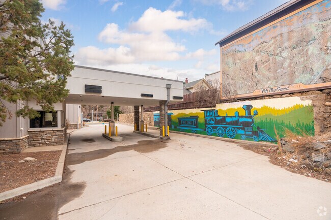
Property Record
1744 Miner St, Idaho Springs, CO 80452


NEARBY LISTINGS FOR SALE OR LEASE
Property Detail
1744 Miner St
1835-363-14-901
Idaho Springs
Miscellaneous
SUBDIVISION: IDAHO SPRINGS BLOCK: PT 6 & PT B7 & IMPS 472/178 & PLAT AMD 289892
X
Clear Creek
08019C0207F
Colorado
0
0.32 AC
2024
Southwest Outlying
014800
Denver
2,582 SF
Denver-Aurora-Lakewood, CO
DEMOGRAPHICS near 1744 Miner St
1 Mile
3 Mile
5 Mile
2024 Total Population
1,436
1,850
3,872
2029 Population
1,375
1,796
3,827
Pop Growth 2024-2029
(4.25%)
(2.92%)
(1.16%)
Average Age
44
44
45
2024 Total Households
684
885
1,848
HH Growth 2024-2029
(4.24%)
(2.82%)
(1.08%)
Median Household Inc
$73,268
$68,809
$68,578
Avg Household Size
2.10
2.10
2.10
2024 Avg HH Vehicles
2.00
2.00
2.00
Median Home Value
$458,854
$469,657
$474,267
Median Year Built
1946
1948
1971
Nearby Places
Map Layers
Map Styles
 Street
 Aerial
- Restaurants
- Banks
- Shops
- Fitness
- Groceries
SALE & LEASE HISTORY
LISTING DATE
SALE/LEASE

May 16, 2022
For Sale
Nearby Properties
Address
Land Use
TOTAL SIZE
Lot Size
Zoning
Address
Land Use
TOTAL SIZE
Lot Size
Zoning
79,744 SF
30.02 AC
M-1
Address
Land Use
TOTAL SIZE
Lot Size
Zoning
Address
Land Use
TOTAL SIZE
Lot Size
Zoning
18,916 SF
0.66 AC
Address
Land Use
TOTAL SIZE
Lot Size
Zoning
55,250 SF
1.48 AC
Address
Land Use
TOTAL SIZE
Lot Size
Zoning
Address
Land Use
TOTAL SIZE
Lot Size
Zoning
52,614 SF
5.63 AC
Address
Land Use
TOTAL SIZE
Lot Size
Zoning
25,428 SF
0.24 AC
Address
Land Use
TOTAL SIZE
Lot Size
Zoning
5,894 SF
1.54 AC
Address
Land Use
TOTAL SIZE
Lot Size
Zoning
17,138 SF
2.78 AC
PD
Address
Land Use
TOTAL SIZE
Lot Size
Zoning
6,100 SF
0.62 AC
Address
Land Use
TOTAL SIZE
Lot Size
Zoning
21,877 SF
0.33 AC
Address
Land Use
TOTAL SIZE
Lot Size
Zoning
Address
Land Use
TOTAL SIZE
Lot Size
Zoning
4,680 SF
0.65 AC
Address
Land Use
TOTAL SIZE
Lot Size
Zoning
32,172 SF
1.96 AC
Address
Land Use
TOTAL SIZE
Lot Size
Zoning
7,336 SF
0.43 AC
Address
Land Use
TOTAL SIZE
Lot Size
Zoning
2,800 SF
0.90 AC
Address
Land Use
TOTAL SIZE
Lot Size
Zoning
23,144 SF
1.53 AC
Address
Land Use
TOTAL SIZE
Lot Size
Zoning
Address
Land Use
TOTAL SIZE
Lot Size
Zoning
10,760 SF
0.19 AC
Address
Land Use
TOTAL SIZE
Lot Size
Zoning
21,634 SF
2.24 AC
Address
Land Use
TOTAL SIZE
Lot Size
Zoning
8,112 SF
0.11 AC
Address
Land Use
TOTAL SIZE
Lot Size
Zoning
14,080 SF
0.23 AC
Address
Land Use
TOTAL SIZE
Lot Size
Zoning
35,438 SF
1.99 AC
Address
Land Use
TOTAL SIZE
Lot Size
Zoning
15,428 SF
0.41 AC
Address
Land Use
TOTAL SIZE
Lot Size
Zoning
3,795 SF
0.09 AC
Address
Land Use
TOTAL SIZE
Lot Size
Zoning
13,524 SF
0.45 AC
Address
Land Use
TOTAL SIZE
Lot Size
Zoning
14,608 SF
0.24 AC
Address
Land Use
TOTAL SIZE
Lot Size
Zoning
216 SF
0.36 AC
Address
Land Use
TOTAL SIZE
Lot Size
Zoning
2,113 SF
0.35 AC
Address
Land Use
TOTAL SIZE
Lot Size
Zoning
6,644 SF
0.11 AC
The World's #1 Commercial Real Estate Marketplace
Connect with us
© 2026 CoStar Group
The information above has been obtained from sources believed reliable. While we do not doubt its accuracy we have not verified it and make no guarantee, warranty or representation about it. It is your responsibility to independently confirm its accuracy and completeness. Any projections, opinions, assumptions, or estimates used are for example only and do not represent the current or future performance of the property. The value of this transaction to you depends on tax and other factors which should be evaluated by your tax, financial, and legal advisors. You and your advisors should conduct a careful, independent investigation of the property to determine to your satisfaction the suitability of the property for your needs.