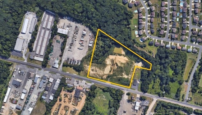
Property Record
6462 Oaklandon Rd, Indianapolis, IN 46236


NEARBY LISTINGS FOR SALE OR LEASE
Property Detail
6462 Oaklandon Rd
02-00386-0000-00008
Gloucester
Vacantlandnec
New Jersey
X
8
34015C0111E
10.60 AC
2024
Gloucester County
2025
Philadelphia
501103
Philadelphia-Camden-Wilmington, PA-NJ-DE-MD
DEMOGRAPHICS near 6462 Oaklandon Rd
1 Mile
3 Mile
5 Mile
2024 Total Population
3,729
55,025
189,826
2029 Population
3,832
56,310
193,456
Pop Growth 2024-2029
+ 2.76%
+ 2.34%
+ 1.91%
Average Age
40
41
41
2024 Total Households
1,323
20,361
74,109
HH Growth 2024-2029
+ 2.87%
+ 2.26%
+ 1.89%
Median Household Inc
$130,419
$105,712
$91,932
Avg Household Size
2.80
2.60
2.50
2024 Avg HH Vehicles
2.00
2.00
2.00
Median Home Value
$290,252
$273,989
$243,110
Median Year Built
1988
1979
1973
Nearby Places
Map Layers
Map Styles
 Street
 Aerial
- Restaurants
- Banks
- Shops
- Fitness
- Groceries
PUBLIC TRANSPORTATION
AIRPORT
Indianapolis International
DRIVE
WALK
Distance
Indianapolis International
50 min
28.1 mi
SALE & LEASE HISTORY
LISTING DATE
SALE/LEASE

May 24, 2017
For Sale
Apr 03, 2017
For Sale
Nearby Properties
Address
Land Use
TOTAL SIZE
Lot Size
Zoning
Address
Land Use
TOTAL SIZE
Lot Size
Zoning
77.34 AC
Address
Land Use
TOTAL SIZE
Lot Size
Zoning
61.08 AC
Address
Land Use
TOTAL SIZE
Lot Size
Zoning
2,398 SF
64.58 AC
Address
Land Use
TOTAL SIZE
Lot Size
Zoning
67.09 AC
Address
Land Use
TOTAL SIZE
Lot Size
Zoning
11,154 SF
21.99 AC
Address
Land Use
TOTAL SIZE
Lot Size
Zoning
390,106 SF
25.24 AC
Address
Land Use
TOTAL SIZE
Lot Size
Zoning
28.71 AC
Address
Land Use
TOTAL SIZE
Lot Size
Zoning
4,217 SF
7.37 AC
ZO01
Address
Land Use
TOTAL SIZE
Lot Size
Zoning
129,608 SF
54.85 AC
ZO01
Address
Land Use
TOTAL SIZE
Lot Size
Zoning
2,232 SF
22.88 AC
Address
Land Use
TOTAL SIZE
Lot Size
Zoning
94,472 SF
15.91 AC
Address
Land Use
TOTAL SIZE
Lot Size
Zoning
259,780 SF
20.36 AC
Address
Land Use
TOTAL SIZE
Lot Size
Zoning
136,336 SF
8.74 AC
ZO01
Address
Land Use
TOTAL SIZE
Lot Size
Zoning
43,530 SF
5.06 AC
Address
Land Use
TOTAL SIZE
Lot Size
Zoning
16,836 SF
16.90 AC
Address
Land Use
TOTAL SIZE
Lot Size
Zoning
1,769 SF
18.27 AC
Address
Land Use
TOTAL SIZE
Lot Size
Zoning
2,151 SF
11.05 AC
Address
Land Use
TOTAL SIZE
Lot Size
Zoning
293,952 SF
12.88 AC
ZO01
Address
Land Use
TOTAL SIZE
Lot Size
Zoning
88,772 SF
20.05 AC
Address
Land Use
TOTAL SIZE
Lot Size
Zoning
65,095 SF
4.06 AC
ZO01
Address
Land Use
TOTAL SIZE
Lot Size
Zoning
245,200 SF
12.08 AC
Address
Land Use
TOTAL SIZE
Lot Size
Zoning
109,200 SF
4.63 AC
ZO01
Address
Land Use
TOTAL SIZE
Lot Size
Zoning
28,144 SF
10.70 AC
Address
Land Use
TOTAL SIZE
Lot Size
Zoning
192,246 SF
27.51 AC
Address
Land Use
TOTAL SIZE
Lot Size
Zoning
203,720 SF
21.44 AC
Address
Land Use
TOTAL SIZE
Lot Size
Zoning
53,987 SF
2.39 AC
ZO01
Address
Land Use
TOTAL SIZE
Lot Size
Zoning
40,092 SF
8.44 AC
Address
Land Use
TOTAL SIZE
Lot Size
Zoning
151,107 SF
18.64 AC
Address
Land Use
TOTAL SIZE
Lot Size
Zoning
59,900 SF
7.82 AC
ZO01
Address
Land Use
TOTAL SIZE
Lot Size
Zoning
37,082 SF
2.53 AC
ZO01
The World's #1 Commercial Real Estate Marketplace
Connect with us
© 2026 CoStar Group
The information above has been obtained from sources believed reliable. While we do not doubt its accuracy we have not verified it and make no guarantee, warranty or representation about it. It is your responsibility to independently confirm its accuracy and completeness. Any projections, opinions, assumptions, or estimates used are for example only and do not represent the current or future performance of the property. The value of this transaction to you depends on tax and other factors which should be evaluated by your tax, financial, and legal advisors. You and your advisors should conduct a careful, independent investigation of the property to determine to your satisfaction the suitability of the property for your needs.