Property Record
175 Pointe Royale Dr, Branson, MO 65616
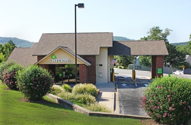

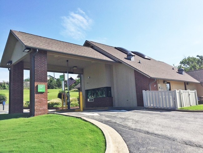
Property Detail
175 Pointe Royale Dr
18-6.0-14-003-008-003.000
POINTE ROYALE PT S2 SW4: CITY OF BRANSON
Commercialnec
TANEY
B and X Area of moderate flood hazard, usually the area between the limits of the 100-year and 500-year floods.
Missouri
2024
1.01 AC
2025
Branson
480206
Other Market Areas
1,764 SF
Branson, MO
NEARBY LISTINGS FOR SALE OR LEASE
DEMOGRAPHICS near 175 Pointe Royale Dr
1 mile
3 mile
5 mile
2025 Total Population
3,534
11,260
24,308
2030 Population
3,793
11,772
25,138
Pop Growth 2025-2030
+ 7.33%
+ 4.55%
+ 3.41%
Average Age
49
46
44
2025 Total Households
1,712
5,123
10,150
HH Growth 2025-2030
+ 7.30%
+ 4.61%
+ 3.70%
Median Household Inc
$48,726
$54,366
$58,947
Avg Household Size
2.00
2.10
2.20
2025 Avg HH Vehicles
2.00
2.00
2.00
Median Home Value
$217,329
$247,048
$253,564
Median Year Built
1995
1996
1995
Nearby Places
Map Layers
Map Styles
 Street
 Aerial
Transit
 Traffic
 Biking
Places
Listings with unknown addresses are not visible on the map
- Restaurants
- Banks
- Shops
- Fitness
- Groceries
SALE & LEASE HISTORY
LISTING DATE
SALE/LEASE

Sep 24, 2016
For Sale
Nearby Properties
Address
Land Use
TOTAL SIZE
Lot Size
Zoning
Address
Land Use
TOTAL SIZE
Lot Size
Zoning
107,469 SF
21.35 AC
Address
Land Use
TOTAL SIZE
Lot Size
Zoning
26,658 SF
6.30 AC
Address
Land Use
TOTAL SIZE
Lot Size
Zoning
18,781 SF
4.70 AC
Address
Land Use
TOTAL SIZE
Lot Size
Zoning
27,496 SF
3.34 AC
Address
Land Use
TOTAL SIZE
Lot Size
Zoning
12,542 SF
3.87 AC
Address
Land Use
TOTAL SIZE
Lot Size
Zoning
32,464 SF
2.16 AC
Address
Land Use
TOTAL SIZE
Lot Size
Zoning
45,680 SF
11.85 AC
Address
Land Use
TOTAL SIZE
Lot Size
Zoning
55,651 SF
3.95 AC
Address
Land Use
TOTAL SIZE
Lot Size
Zoning
85,644 SF
6.64 AC
Address
Land Use
TOTAL SIZE
Lot Size
Zoning
17,313 SF
5.18 AC
Address
Land Use
TOTAL SIZE
Lot Size
Zoning
39,644 SF
7.02 AC
Address
Land Use
TOTAL SIZE
Lot Size
Zoning
49,886 SF
8.16 AC
Address
Land Use
TOTAL SIZE
Lot Size
Zoning
20,617 SF
2.18 AC
Address
Land Use
TOTAL SIZE
Lot Size
Zoning
10,783 SF
0.32 AC
Address
Land Use
TOTAL SIZE
Lot Size
Zoning
22,568 SF
6.60 AC
Address
Land Use
TOTAL SIZE
Lot Size
Zoning
10,783 SF
0.33 AC
Address
Land Use
TOTAL SIZE
Lot Size
Zoning
53,594 SF
5.44 AC
Address
Land Use
TOTAL SIZE
Lot Size
Zoning
29,477 SF
3.97 AC
Address
Land Use
TOTAL SIZE
Lot Size
Zoning
10,783 SF
0.33 AC
Address
Land Use
TOTAL SIZE
Lot Size
Zoning
28,066 SF
4.87 AC
Address
Land Use
TOTAL SIZE
Lot Size
Zoning
15,730 SF
2.30 AC
Address
Land Use
TOTAL SIZE
Lot Size
Zoning
30,941 SF
4.78 AC
Address
Land Use
TOTAL SIZE
Lot Size
Zoning
198,211 SF
36.32 AC
Address
Land Use
TOTAL SIZE
Lot Size
Zoning
24,722 SF
2.22 AC
Address
Land Use
TOTAL SIZE
Lot Size
Zoning
21,501 SF
4.16 AC
Address
Land Use
TOTAL SIZE
Lot Size
Zoning
26,756 SF
11.55 AC
Address
Land Use
TOTAL SIZE
Lot Size
Zoning
9,841 SF
0.23 AC
Address
Land Use
TOTAL SIZE
Lot Size
Zoning
47,126 SF
5.35 AC
Address
Land Use
TOTAL SIZE
Lot Size
Zoning
18,652 SF
2.37 AC
Address
Land Use
TOTAL SIZE
Lot Size
Zoning
23,901 SF
2.92 AC
The World's #1 Commercial Real Estate Marketplace
Connect with us
© 2026 CoStar Group
The information above has been obtained from sources believed reliable. While we do not doubt its accuracy we have not verified it and make no guarantee, warranty or representation about it. It is your responsibility to independently confirm its accuracy and completeness. Any projections, opinions, assumptions, or estimates used are for example only and do not represent the current or future performance of the property. The value of this transaction to you depends on tax and other factors which should be evaluated by your tax, financial, and legal advisors. You and your advisors should conduct a careful, independent investigation of the property to determine to your satisfaction the suitability of the property for your needs.