Property Record
1750 88Th St, West Des Moines, IA 50266
NEARBY LISTINGS FOR SALE OR LEASE
-
-
-
-
SEC S 60th St & Mills Civic Pkwy
West Des Moines, IA 50266
Rent Upon Request
1.99 - 2.33 AC Lot
Land
-
-
-
-
View all West Des Moines listings for sale on LoopNet.com
Property Detail
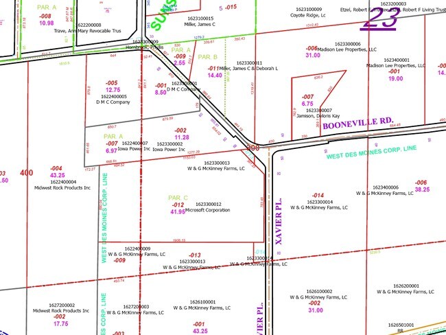
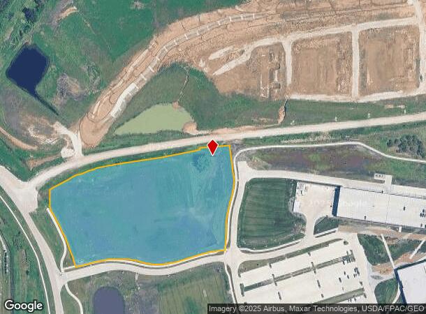
1750 88Th St
Des Moines
Dmu West Plat 1
Des Moines-West Des Moines, IA
DMU WEST PLAT 1 LOT 1
16-23-476-001
Dallas
Commercialnec
Iowa
0
1
2025
6.81 AC
050813
Western Suburbs
DEMOGRAPHICS near 1750 88Th St
1 Mile
3 Mile
5 Mile
2024 Total Population
1,330
25,155
83,013
2029 Population
1,516
27,735
90,385
Pop Growth 2024-2029
+ 13.98%
+ 10.26%
+ 8.88%
Average Age
39
39
38
2024 Total Households
590
11,343
34,640
HH Growth 2024-2029
+ 14.24%
+ 10.76%
+ 9.09%
Median Household Inc
$97,321
$94,978
$97,942
Avg Household Size
2.20
2.20
2.40
2024 Avg HH Vehicles
2.00
2.00
2.00
Median Home Value
$445,833
$424,012
$358,272
Median Year Built
2010
2009
2001
Nearby Places
Map Layers
Map Styles
 Street
 Aerial
- Restaurants
- Banks
- Shops
- Fitness
- Groceries
PUBLIC TRANSPORTATION
AIRPORT
Des Moines International
DRIVE
WALK
Distance
Des Moines International
24 min
12.8 mi
Freight Ports
Port Milwaukee
DRIVE
WALK
Distance
Port Milwaukee
433 min
388.6 mi
Nearby Properties
Address
Land Use
TOTAL SIZE
Lot Size
Zoning
Address
Land Use
TOTAL SIZE
Lot Size
Zoning
756,649 SF
67.99 AC
Address
Land Use
TOTAL SIZE
Lot Size
Zoning
31,075 SF
157.44 AC
Address
Land Use
TOTAL SIZE
Lot Size
Zoning
73,854 SF
54.86 AC
Address
Land Use
TOTAL SIZE
Lot Size
Zoning
52,016 SF
46.87 AC
Address
Land Use
TOTAL SIZE
Lot Size
Zoning
6,178 SF
39.82 AC
Address
Land Use
TOTAL SIZE
Lot Size
Zoning
18,951 SF
29.34 AC
Address
Land Use
TOTAL SIZE
Lot Size
Zoning
Address
Land Use
TOTAL SIZE
Lot Size
Zoning
189,660 SF
19.84 AC
Address
Land Use
TOTAL SIZE
Lot Size
Zoning
231,695 SF
4.29 AC
Address
Land Use
TOTAL SIZE
Lot Size
Zoning
269,353 SF
36.28 AC
Address
Land Use
TOTAL SIZE
Lot Size
Zoning
39,229 SF
22.75 AC
Address
Land Use
TOTAL SIZE
Lot Size
Zoning
46,250 SF
27.02 AC
Address
Land Use
TOTAL SIZE
Lot Size
Zoning
172,627 SF
8.30 AC
Address
Land Use
TOTAL SIZE
Lot Size
Zoning
243,217 SF
16.31 AC
PUD HD
Address
Land Use
TOTAL SIZE
Lot Size
Zoning
5,635 SF
15.06 AC
Address
Land Use
TOTAL SIZE
Lot Size
Zoning
2,168 SF
15.68 AC
Address
Land Use
TOTAL SIZE
Lot Size
Zoning
4,590 SF
10.50 AC
Address
Land Use
TOTAL SIZE
Lot Size
Zoning
20,388 SF
8.69 AC
Address
Land Use
TOTAL SIZE
Lot Size
Zoning
228,243 SF
19.64 AC
PUD HD
Address
Land Use
TOTAL SIZE
Lot Size
Zoning
89,408 SF
16.07 AC
Address
Land Use
TOTAL SIZE
Lot Size
Zoning
4,579 SF
7.44 AC
Address
Land Use
TOTAL SIZE
Lot Size
Zoning
3,646 SF
9.19 AC
Address
Land Use
TOTAL SIZE
Lot Size
Zoning
216,511 SF
19.10 AC
Address
Land Use
TOTAL SIZE
Lot Size
Zoning
241,136 SF
4.24 AC
Address
Land Use
TOTAL SIZE
Lot Size
Zoning
62,702 SF
10.52 AC
Address
Land Use
TOTAL SIZE
Lot Size
Zoning
17.88 AC
Address
Land Use
TOTAL SIZE
Lot Size
Zoning
1,446 SF
12.05 AC
Address
Land Use
TOTAL SIZE
Lot Size
Zoning
1,616 SF
Address
Land Use
TOTAL SIZE
Lot Size
Zoning
74,957 SF
2.89 AC
Address
Land Use
TOTAL SIZE
Lot Size
Zoning
207,653 SF
12.63 AC
The World's #1 Commercial Real Estate Marketplace
Connect with us
© 2026 CoStar Group
The information above has been obtained from sources believed reliable. While we do not doubt its accuracy we have not verified it and make no guarantee, warranty or representation about it. It is your responsibility to independently confirm its accuracy and completeness. Any projections, opinions, assumptions, or estimates used are for example only and do not represent the current or future performance of the property. The value of this transaction to you depends on tax and other factors which should be evaluated by your tax, financial, and legal advisors. You and your advisors should conduct a careful, independent investigation of the property to determine to your satisfaction the suitability of the property for your needs.