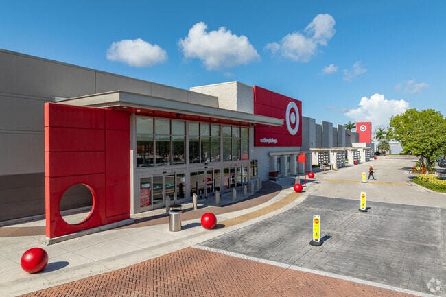
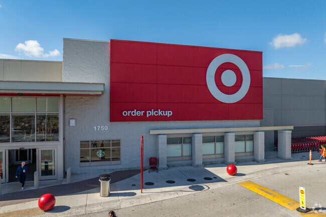
Property Record
1750 W 37Th St, Hialeah, FL 33012

Property Detail
1750 W 37Th St
04-3011-002-0249
11 53 40 11.18 AC FLA FRUIT LAND COS SUB PB 2-17 PORT OF TRS 17 THRU 19 DESC BEG 35.01FTE OF SW COR OT TR 19 TH N 01 DEG W 758.14FT S 90 DEG E 142.26FT N 00 DEG E 197.81FT S 89 DEG E 404.51FT S 00 DEG E 955.50FT N 89 DEG W 528.16FT TO POB AKA TARGET
Departmentstore
Miami-Dade
7100
Florida
AH Areas with a 1% annual chance of shallow flooding, usually in the form of a pond, withan average depth ranging from 1 to 3 feet. These areas have a 26% chance of flooding over the life of a 30-year mortgage.
11.18 AC
2024
Hialeah
2025
South Florida
000719
Miami-Miami Beach-Kendall, FL
142,421 SF
NEARBY LISTINGS FOR SALE OR LEASE
DEMOGRAPHICS near 1750 W 37Th St
1 mile
3 mile
5 mile
2024 Total Population
27,815
204,905
403,862
2029 Population
29,597
218,224
430,892
Pop Growth 2024-2029
+ 6.41%
+ 6.50%
+ 6.69%
Average Age
46
44
42
2024 Total Households
10,134
69,588
134,005
HH Growth 2024-2029
+ 6.37%
+ 6.43%
+ 6.64%
Median Household Inc
$47,044
$55,587
$67,428
Avg Household Size
2.60
2.80
2.90
2024 Avg HH Vehicles
1.00
2.00
2.00
Median Home Value
$285,663
$409,927
$455,255
Median Year Built
1975
1975
1981
Nearby Places
Map Layers
Map Styles
 Street
 Aerial
Transit
 Traffic
 Biking
Places
Listings with unknown addresses are not visible on the map
- Restaurants
- Banks
- Shops
- Fitness
- Groceries
PUBLIC TRANSPORTATION
COMMUTER RAIL
Okeechobee (Metrorail Green Line - Miami-Dade Transit (Metrorail/Metromover))
Drive
Walk
Distance
Okeechobee (Metrorail Green Line - Miami-Dade Transit (Metrorail/Metromover))
5 min
1.7 mi
Palmetto (Metrorail Green Line - Miami-Dade Transit (Metrorail/Metromover))
Drive
Walk
Distance
Palmetto (Metrorail Green Line - Miami-Dade Transit (Metrorail/Metromover))
5 min
1.8 mi
AIRPORT
Miami International
Drive
Walk
Distance
Miami International
15 min
5.9 mi
Fort Lauderdale/Hollywood International
Drive
Walk
Distance
Fort Lauderdale/Hollywood International
38 min
25.0 mi
Freight Ports
Port of Miami
Drive
Walk
Distance
Port of Miami
25 min
12.8 mi
Nearby Properties
Address
Land Use
TOTAL SIZE
Lot Size
Zoning
Address
Land Use
TOTAL SIZE
Lot Size
Zoning
312,996 SF
157.16 AC
8900
Address
Land Use
TOTAL SIZE
Lot Size
Zoning
614,708 SF
22.54 AC
4400
Address
Land Use
TOTAL SIZE
Lot Size
Zoning
636,721 SF
52.61 AC
2800
Address
Land Use
TOTAL SIZE
Lot Size
Zoning
777,714 SF
7.59 AC
9450
Address
Land Use
TOTAL SIZE
Lot Size
Zoning
7.62 AC
7200
Address
Land Use
TOTAL SIZE
Lot Size
Zoning
666,015 SF
4 AC
6119
Address
Land Use
TOTAL SIZE
Lot Size
Zoning
582,921 SF
4.51 AC
6119
Address
Land Use
TOTAL SIZE
Lot Size
Zoning
418,532 SF
17.95 AC
7300
Address
Land Use
TOTAL SIZE
Lot Size
Zoning
439,520 SF
20.20 AC
9400
Address
Land Use
TOTAL SIZE
Lot Size
Zoning
1,700 SF
7.24 AC
7100
Address
Land Use
TOTAL SIZE
Lot Size
Zoning
301,593 SF
16 AC
7100
Address
Land Use
TOTAL SIZE
Lot Size
Zoning
538,715 SF
24.72 AC
7100
Address
Land Use
TOTAL SIZE
Lot Size
Zoning
352,663 SF
0.65 AC
6119
Address
Land Use
TOTAL SIZE
Lot Size
Zoning
322,084 SF
6.60 AC
7100
Address
Land Use
TOTAL SIZE
Lot Size
Zoning
344,465 SF
5.03 AC
6400
Address
Land Use
TOTAL SIZE
Lot Size
Zoning
344,101 SF
0.74 AC
6119
Address
Land Use
TOTAL SIZE
Lot Size
Zoning
648,867 SF
33.08 AC
7100
Address
Land Use
TOTAL SIZE
Lot Size
Zoning
387,903 SF
4.49 AC
6119
Address
Land Use
TOTAL SIZE
Lot Size
Zoning
330,528 SF
4.46 AC
6119
Address
Land Use
TOTAL SIZE
Lot Size
Zoning
355,631 SF
2.02 AC
6119
Address
Land Use
TOTAL SIZE
Lot Size
Zoning
388,143 SF
1.60 AC
6119
Address
Land Use
TOTAL SIZE
Lot Size
Zoning
347,380 SF
18.37 AC
7600
Address
Land Use
TOTAL SIZE
Lot Size
Zoning
328,942 SF
16.15 AC
7600
Address
Land Use
TOTAL SIZE
Lot Size
Zoning
225,137 SF
80.89 AC
7600
Address
Land Use
TOTAL SIZE
Lot Size
Zoning
419,656 SF
8.61 AC
6400
Address
Land Use
TOTAL SIZE
Lot Size
Zoning
445,429 SF
4.45 AC
6400
Address
Land Use
TOTAL SIZE
Lot Size
Zoning
177,893 SF
15.02 AC
7100
Address
Land Use
TOTAL SIZE
Lot Size
Zoning
313,129 SF
16.06 AC
7100
Address
Land Use
TOTAL SIZE
Lot Size
Zoning
252,698 SF
13.22 AC
7100
Address
Land Use
TOTAL SIZE
Lot Size
Zoning
293,962 SF
9.99 AC
4400
The World's #1 Commercial Real Estate Marketplace
Connect with us
© 2026 CoStar Group
The information above has been obtained from sources believed reliable. While we do not doubt its accuracy we have not verified it and make no guarantee, warranty or representation about it. It is your responsibility to independently confirm its accuracy and completeness. Any projections, opinions, assumptions, or estimates used are for example only and do not represent the current or future performance of the property. The value of this transaction to you depends on tax and other factors which should be evaluated by your tax, financial, and legal advisors. You and your advisors should conduct a careful, independent investigation of the property to determine to your satisfaction the suitability of the property for your needs.