Property Record
17568 State Highway 371, Brainerd, MN 56401
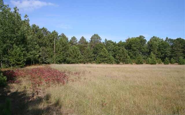

Property Detail
17568 State Highway 371
Brainerd, MN
LOT 2 SW1/4 OF NW1/4 (EX HWY)
980242302000009
Crow Wing
Commercialnec
Minnesota
B and X Area of moderate flood hazard, usually the area between the limits of the 100-year and 500-year floods.
2
2026
27.05 AC
2025
Minnesota Central Area
950901
Other Market Areas
1,152 SF
NEARBY LISTINGS FOR SALE OR LEASE
DEMOGRAPHICS near 17568 State Highway 371
1 mile
3 mile
5 mile
2025 Total Population
424
3,735
15,934
2030 Population
444
3,825
16,065
Pop Growth 2025-2030
+ 4.72%
+ 2.41%
+ 0.82%
Average Age
44
43
43
2025 Total Households
169
1,478
6,442
HH Growth 2025-2030
+ 4.73%
+ 2.50%
+ 0.78%
Median Household Inc
$114,772
$108,062
$86,414
Avg Household Size
2.40
2.40
2.40
2025 Avg HH Vehicles
2.00
2.00
2.00
Median Home Value
$316,129
$332,742
$346,353
Median Year Built
1994
1994
1993
Nearby Places
Map Layers
Map Styles
 Street
 Aerial
Layers
 Traffic
 Biking
Places
Listings with unknown addresses are not visible on the map
- Restaurants
- Banks
- Shops
- Fitness
- Groceries
Nearby Properties
Address
Land Use
TOTAL SIZE
Lot Size
Zoning
Address
Land Use
TOTAL SIZE
Lot Size
Zoning
2,516 SF
364.73 AC
Address
Land Use
TOTAL SIZE
Lot Size
Zoning
65,502 SF
4.39 AC
Address
Land Use
TOTAL SIZE
Lot Size
Zoning
28,169 SF
45.83 AC
Address
Land Use
TOTAL SIZE
Lot Size
Zoning
86,796 SF
10.34 AC
Address
Land Use
TOTAL SIZE
Lot Size
Zoning
68,838 SF
2.23 AC
Address
Land Use
TOTAL SIZE
Lot Size
Zoning
6,232 SF
3.32 AC
Address
Land Use
TOTAL SIZE
Lot Size
Zoning
21,582 SF
3.59 AC
Address
Land Use
TOTAL SIZE
Lot Size
Zoning
2,832 SF
3.62 AC
Address
Land Use
TOTAL SIZE
Lot Size
Zoning
714 SF
4.96 AC
Address
Land Use
TOTAL SIZE
Lot Size
Zoning
42,668 SF
2.61 AC
Address
Land Use
TOTAL SIZE
Lot Size
Zoning
21,008 SF
4.93 AC
Address
Land Use
TOTAL SIZE
Lot Size
Zoning
22,380 SF
10.05 AC
Address
Land Use
TOTAL SIZE
Lot Size
Zoning
27,728 SF
3.41 AC
Address
Land Use
TOTAL SIZE
Lot Size
Zoning
28,128 SF
34.22 AC
Address
Land Use
TOTAL SIZE
Lot Size
Zoning
32,117 SF
5.24 AC
Address
Land Use
TOTAL SIZE
Lot Size
Zoning
21,086 SF
3.08 AC
Address
Land Use
TOTAL SIZE
Lot Size
Zoning
36,000 SF
35.51 AC
Address
Land Use
TOTAL SIZE
Lot Size
Zoning
6,317 SF
2.65 AC
Address
Land Use
TOTAL SIZE
Lot Size
Zoning
6,400 SF
5.03 AC
Address
Land Use
TOTAL SIZE
Lot Size
Zoning
11,705 SF
16.52 AC
Address
Land Use
TOTAL SIZE
Lot Size
Zoning
18,053 SF
2.27 AC
Address
Land Use
TOTAL SIZE
Lot Size
Zoning
16,112 SF
2.31 AC
Address
Land Use
TOTAL SIZE
Lot Size
Zoning
750,000 SF
7.07 AC
Address
Land Use
TOTAL SIZE
Lot Size
Zoning
69,050 SF
28.86 AC
Address
Land Use
TOTAL SIZE
Lot Size
Zoning
19,380 SF
9.87 AC
Address
Land Use
TOTAL SIZE
Lot Size
Zoning
22,656 SF
2.98 AC
Address
Land Use
TOTAL SIZE
Lot Size
Zoning
7,752 SF
3.96 AC
Address
Land Use
TOTAL SIZE
Lot Size
Zoning
Address
Land Use
TOTAL SIZE
Lot Size
Zoning
5,318 SF
2.18 AC
The World's #1 Commercial Real Estate Marketplace
Connect with us
© 2026 CoStar Group
The information above has been obtained from sources believed reliable. While we do not doubt its accuracy we have not verified it and make no guarantee, warranty or representation about it. It is your responsibility to independently confirm its accuracy and completeness. Any projections, opinions, assumptions, or estimates used are for example only and do not represent the current or future performance of the property. The value of this transaction to you depends on tax and other factors which should be evaluated by your tax, financial, and legal advisors. You and your advisors should conduct a careful, independent investigation of the property to determine to your satisfaction the suitability of the property for your needs.