Property Record
17590 W Mandeson Ave, , AZ


Property Detail
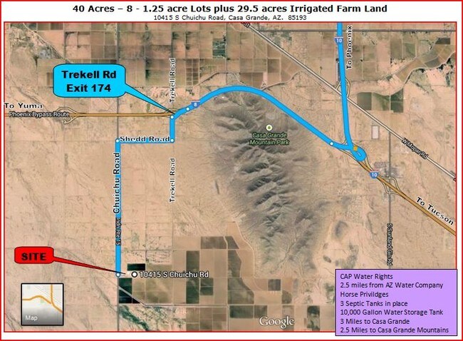
17590 W Mandeson Ave
Phoenix-Mesa-Chandler, AZ
BEG @ W COR OF SEC 29-7S-6E E-50 N-296.23 E-330 TO POB N-165 E-33 0 S-165 W-330 TO POB 1.25 AC
511-19-034
PINAL
Vacantlandnec
Arizona
A Areas with a 1% annual chance of flooding and a 26% chance of flooding over the life of a 30-year mortgage.
1.25 AC
2025
Pinal County
2025
Phoenix
001500
NEARBY LISTINGS FOR SALE OR LEASE
DEMOGRAPHICS near 17590 W Mandeson Ave
1 mile
3 mile
5 mile
2025 Total Population
173
830
9,215
2030 Population
201
967
11,263
Pop Growth 2025-2030
+ 16.18%
+ 16.51%
+ 22.22%
Average Age
40
41
40
2025 Total Households
59
288
3,237
HH Growth 2025-2030
+ 16.95%
+ 16.32%
+ 21.75%
Median Household Inc
$71,785
$69,749
$54,707
Avg Household Size
2.90
2.80
2.70
2025 Avg HH Vehicles
2.00
2.00
2.00
Median Home Value
$308,333
$300,980
$255,012
Median Year Built
1991
1994
2006
Nearby Places
Map Layers
Map Styles
 Street
 Aerial
Layers
 Traffic
 Biking
Places
Listings with unknown addresses are not visible on the map
- Restaurants
- Banks
- Shops
- Fitness
- Groceries
SALE & LEASE HISTORY
LISTING DATE
SALE/LEASE

Sep 24, 2016
For Sale
Nearby Properties
Address
Land Use
TOTAL SIZE
Lot Size
Zoning
Address
Land Use
TOTAL SIZE
Lot Size
Zoning
161.76 AC
Address
Land Use
TOTAL SIZE
Lot Size
Zoning
8,160 SF
5.53 AC
CB2
Address
Land Use
TOTAL SIZE
Lot Size
Zoning
11,524 SF
4.30 AC
CB2
Address
Land Use
TOTAL SIZE
Lot Size
Zoning
160 AC
GR
Address
Land Use
TOTAL SIZE
Lot Size
Zoning
3,200 SF
0.69 AC
CB2
Address
Land Use
TOTAL SIZE
Lot Size
Zoning
65.04 AC
GR
Address
Land Use
TOTAL SIZE
Lot Size
Zoning
63.87 AC
GR
Address
Land Use
TOTAL SIZE
Lot Size
Zoning
45.08 AC
GR
Address
Land Use
TOTAL SIZE
Lot Size
Zoning
40 AC
GR
Address
Land Use
TOTAL SIZE
Lot Size
Zoning
40 AC
GR
Address
Land Use
TOTAL SIZE
Lot Size
Zoning
165 AC
UNDESIGNAT
Address
Land Use
TOTAL SIZE
Lot Size
Zoning
3,144 SF
3.30 AC
Address
Land Use
TOTAL SIZE
Lot Size
Zoning
160 AC
UNDESIGNAT
Address
Land Use
TOTAL SIZE
Lot Size
Zoning
125.45 AC
UNDESIGNAT
Address
Land Use
TOTAL SIZE
Lot Size
Zoning
30 AC
GR
Address
Land Use
TOTAL SIZE
Lot Size
Zoning
101.86 AC
Address
Land Use
TOTAL SIZE
Lot Size
Zoning
26.62 AC
GR
Address
Land Use
TOTAL SIZE
Lot Size
Zoning
1,248 SF
29.47 AC
GR
Address
Land Use
TOTAL SIZE
Lot Size
Zoning
6,056 SF
10 AC
UNDESIGNAT
Address
Land Use
TOTAL SIZE
Lot Size
Zoning
Address
Land Use
TOTAL SIZE
Lot Size
Zoning
131.77 AC
UNDESIGNAT
The World's #1 Commercial Real Estate Marketplace
Connect with us
© 2026 CoStar Group
The information above has been obtained from sources believed reliable. While we do not doubt its accuracy we have not verified it and make no guarantee, warranty or representation about it. It is your responsibility to independently confirm its accuracy and completeness. Any projections, opinions, assumptions, or estimates used are for example only and do not represent the current or future performance of the property. The value of this transaction to you depends on tax and other factors which should be evaluated by your tax, financial, and legal advisors. You and your advisors should conduct a careful, independent investigation of the property to determine to your satisfaction the suitability of the property for your needs.