Property Record
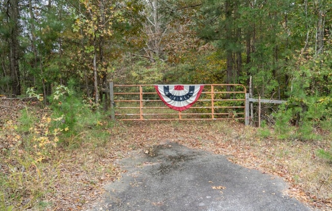
176 Highway Byp, Pacolet, SC 29372

Property Detail
176 Highway Byp
Spartanburg, SC
LOTS A & B TONY MCGEE SUR PB 118-608-608A PB 183-948
3-32-00-029.01
SPARTANBURG
Agriculturalland
South Carolina
B and X Area of moderate flood hazard, usually the area between the limits of the 100-year and 500-year floods.
a,b
2024
26.39 AC
2025
Lower Spartanburg County
023902
Greenville/Spartanburg
NEARBY LISTINGS FOR SALE OR LEASE
DEMOGRAPHICS near 176 Highway Byp
1 mile
3 mile
5 mile
2025 Total Population
423
4,447
11,723
2030 Population
473
4,940
13,017
Pop Growth 2025-2030
+ 11.82%
+ 11.09%
+ 11.04%
Average Age
43
42
42
2025 Total Households
170
1,823
4,741
HH Growth 2025-2030
+ 11.18%
+ 11.08%
+ 11.07%
Median Household Inc
$56,666
$56,509
$57,584
Avg Household Size
2.50
2.40
2.50
2025 Avg HH Vehicles
3.00
2.00
2.00
Median Home Value
$159,210
$157,605
$195,351
Median Year Built
1973
1973
1976
Nearby Places
Map Layers
Map Styles
 Street
 Aerial
Transit
 Traffic
 Biking
Places
Listings with unknown addresses are not visible on the map
- Restaurants
- Banks
- Shops
- Fitness
- Groceries
PUBLIC TRANSPORTATION
AIRPORT
Greenville Spartanburg International
Drive
Walk
Distance
Greenville Spartanburg International
49 min
31.7 mi
Freight Ports
North Charleston Terminal
Drive
Walk
Distance
North Charleston Terminal
223 min
189.1 mi
SALE & LEASE HISTORY
LISTING DATE
SALE/LEASE

May 13, 2025
For Sale
Nearby Properties
Address
Land Use
TOTAL SIZE
Lot Size
Zoning
Address
Land Use
TOTAL SIZE
Lot Size
Zoning
793 SF
6.14 AC
Address
Land Use
TOTAL SIZE
Lot Size
Zoning
16,744 SF
6.03 AC
Address
Land Use
TOTAL SIZE
Lot Size
Zoning
237.17 AC
Address
Land Use
TOTAL SIZE
Lot Size
Zoning
3,411 SF
2.99 AC
Address
Land Use
TOTAL SIZE
Lot Size
Zoning
2,088 SF
9.03 AC
Address
Land Use
TOTAL SIZE
Lot Size
Zoning
2,550 SF
64.61 AC
Address
Land Use
TOTAL SIZE
Lot Size
Zoning
242,500 SF
16 AC
Address
Land Use
TOTAL SIZE
Lot Size
Zoning
2,327 SF
0.59 AC
Address
Land Use
TOTAL SIZE
Lot Size
Zoning
1,915 SF
2.49 AC
Address
Land Use
TOTAL SIZE
Lot Size
Zoning
1,938 SF
1.19 AC
Address
Land Use
TOTAL SIZE
Lot Size
Zoning
2,924 SF
0.93 AC
Address
Land Use
TOTAL SIZE
Lot Size
Zoning
78.07 AC
Address
Land Use
TOTAL SIZE
Lot Size
Zoning
236,000 SF
8.20 AC
Address
Land Use
TOTAL SIZE
Lot Size
Zoning
2,285 SF
0.88 AC
Address
Land Use
TOTAL SIZE
Lot Size
Zoning
2,320 SF
2 AC
Address
Land Use
TOTAL SIZE
Lot Size
Zoning
1,618 SF
0.52 AC
Address
Land Use
TOTAL SIZE
Lot Size
Zoning
2,026 SF
0.59 AC
Address
Land Use
TOTAL SIZE
Lot Size
Zoning
1,784 SF
1.23 AC
Address
Land Use
TOTAL SIZE
Lot Size
Zoning
2,010 SF
0.93 AC
Address
Land Use
TOTAL SIZE
Lot Size
Zoning
35,328 SF
9 AC
Address
Land Use
TOTAL SIZE
Lot Size
Zoning
1,675 SF
1.52 AC
Address
Land Use
TOTAL SIZE
Lot Size
Zoning
139,336 SF
6 AC
Address
Land Use
TOTAL SIZE
Lot Size
Zoning
1,890 SF
0.82 AC
Address
Land Use
TOTAL SIZE
Lot Size
Zoning
1,500 SF
1.51 AC
Address
Land Use
TOTAL SIZE
Lot Size
Zoning
2,640 SF
4.49 AC
Address
Land Use
TOTAL SIZE
Lot Size
Zoning
8,750 SF
0.90 AC
Address
Land Use
TOTAL SIZE
Lot Size
Zoning
30,150 SF
1.60 AC
Address
Land Use
TOTAL SIZE
Lot Size
Zoning
260.01 AC
Address
Land Use
TOTAL SIZE
Lot Size
Zoning
14,785 SF
0.65 AC
Address
Land Use
TOTAL SIZE
Lot Size
Zoning
3,552 SF
0.59 AC
The World's #1 Commercial Real Estate Marketplace
Connect with us
© 2026 CoStar Group
The information above has been obtained from sources believed reliable. While we do not doubt its accuracy we have not verified it and make no guarantee, warranty or representation about it. It is your responsibility to independently confirm its accuracy and completeness. Any projections, opinions, assumptions, or estimates used are for example only and do not represent the current or future performance of the property. The value of this transaction to you depends on tax and other factors which should be evaluated by your tax, financial, and legal advisors. You and your advisors should conduct a careful, independent investigation of the property to determine to your satisfaction the suitability of the property for your needs.