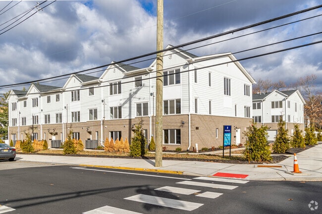
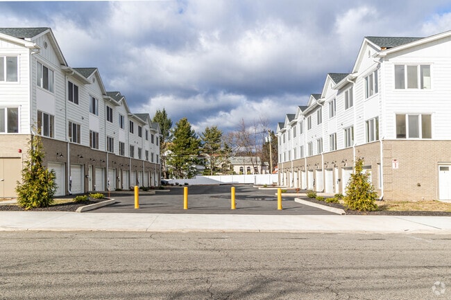
Property Record
176 Pennington Ave, Passaic, NJ 07055

Property Detail
176 Pennington Ave
07-03237-0000-00047
PASSAIC
Vacantlandnec
New Jersey
R-1A
47
B and X Area of moderate flood hazard, usually the area between the limits of the 100-year and 500-year floods.
1 AC
2024
Passaic
2025
Northern New Jersey
175804
New York-Jersey City-White Plains, NY-NJ
NEARBY LISTINGS FOR SALE OR LEASE
DEMOGRAPHICS near 176 Pennington Ave
1 mile
3 mile
5 mile
2025 Total Population
53,820
289,451
631,482
2030 Population
54,608
293,383
642,851
Pop Growth 2025-2030
+ 1.46%
+ 1.36%
+ 1.80%
Average Age
36
39
40
2025 Total Households
16,751
101,614
225,722
HH Growth 2025-2030
+ 1.37%
+ 1.37%
+ 1.89%
Median Household Inc
$65,117
$89,769
$91,053
Avg Household Size
3.10
2.80
2.70
2025 Avg HH Vehicles
1.00
2.00
2.00
Median Home Value
$486,512
$489,700
$482,625
Median Year Built
1948
1951
1954
Nearby Places
Map Layers
Map Styles
 Street
 Aerial
Layers
 Traffic
 Biking
Places
Listings with unknown addresses are not visible on the map
- Restaurants
- Banks
- Shops
- Fitness
- Groceries
PUBLIC TRANSPORTATION
COMMUTER RAIL
Passaic (Main/Port Jervis Line - NJ Transit Commuter Rail (NJ Transit))
Drive
Walk
Distance
Passaic (Main/Port Jervis Line - NJ Transit Commuter Rail (NJ Transit))
1 min
9 min
0.5 mi
Delawanna (Main/Port Jervis Line - NJ Transit Commuter Rail (NJ Transit))
Drive
Walk
Distance
Delawanna (Main/Port Jervis Line - NJ Transit Commuter Rail (NJ Transit))
4 min
2.0 mi
AIRPORT
Newark Liberty International
Drive
Walk
Distance
Newark Liberty International
19 min
15.4 mi
LaGuardia
Drive
Walk
Distance
LaGuardia
37 min
24.0 mi
John F Kennedy International
Drive
Walk
Distance
John F Kennedy International
48 min
30.0 mi
Freight Ports
Port Newark Container Terminal
Drive
Walk
Distance
Port Newark Container Terminal
23 min
14.7 mi
Nearby Properties
Address
Land Use
TOTAL SIZE
Lot Size
Zoning
Address
Land Use
TOTAL SIZE
Lot Size
Zoning
Address
Land Use
TOTAL SIZE
Lot Size
Zoning
4,014 SF
21 AC
Address
Land Use
TOTAL SIZE
Lot Size
Zoning
612 AC
SEA
Address
Land Use
TOTAL SIZE
Lot Size
Zoning
9.57 AC
I2
Address
Land Use
TOTAL SIZE
Lot Size
Zoning
7.10 AC
R-3
Address
Land Use
TOTAL SIZE
Lot Size
Zoning
Address
Land Use
TOTAL SIZE
Lot Size
Zoning
8.88 AC
ORD
Address
Land Use
TOTAL SIZE
Lot Size
Zoning
1,218 SF
41.30 AC
RB
Address
Land Use
TOTAL SIZE
Lot Size
Zoning
1.12 AC
M-O
Address
Land Use
TOTAL SIZE
Lot Size
Zoning
7.29 AC
Address
Land Use
TOTAL SIZE
Lot Size
Zoning
Address
Land Use
TOTAL SIZE
Lot Size
Zoning
138,764 SF
1.47 AC
LM
Address
Land Use
TOTAL SIZE
Lot Size
Zoning
24.29 AC
Address
Land Use
TOTAL SIZE
Lot Size
Zoning
82.74 AC
Address
Land Use
TOTAL SIZE
Lot Size
Zoning
71,634 SF
12.31 AC
M1
Address
Land Use
TOTAL SIZE
Lot Size
Zoning
16.94 AC
R2
Address
Land Use
TOTAL SIZE
Lot Size
Zoning
24.35 AC
Address
Land Use
TOTAL SIZE
Lot Size
Zoning
13.80 AC
Address
Land Use
TOTAL SIZE
Lot Size
Zoning
11.30 AC
Address
Land Use
TOTAL SIZE
Lot Size
Zoning
148,918 SF
4.17 AC
B
Address
Land Use
TOTAL SIZE
Lot Size
Zoning
13.36 AC
Address
Land Use
TOTAL SIZE
Lot Size
Zoning
9.98 AC
R-1
Address
Land Use
TOTAL SIZE
Lot Size
Zoning
136,148 SF
12.81 AC
Address
Land Use
TOTAL SIZE
Lot Size
Zoning
177,672 SF
7.51 AC
IA
Address
Land Use
TOTAL SIZE
Lot Size
Zoning
7.22 AC
M-3
Address
Land Use
TOTAL SIZE
Lot Size
Zoning
31.63 AC
I
Address
Land Use
TOTAL SIZE
Lot Size
Zoning
9.38 AC
B-A
Address
Land Use
TOTAL SIZE
Lot Size
Zoning
18.14 AC
R3
Address
Land Use
TOTAL SIZE
Lot Size
Zoning
20,866 SF
Address
Land Use
TOTAL SIZE
Lot Size
Zoning
4.09 AC
M-O
The World's #1 Commercial Real Estate Marketplace
Connect with us
© 2026 CoStar Group
The information above has been obtained from sources believed reliable. While we do not doubt its accuracy we have not verified it and make no guarantee, warranty or representation about it. It is your responsibility to independently confirm its accuracy and completeness. Any projections, opinions, assumptions, or estimates used are for example only and do not represent the current or future performance of the property. The value of this transaction to you depends on tax and other factors which should be evaluated by your tax, financial, and legal advisors. You and your advisors should conduct a careful, independent investigation of the property to determine to your satisfaction the suitability of the property for your needs.