Property Record
17606 Sunset Blvd, Arvin, CA 93203
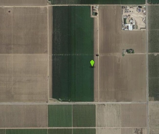

Property Detail
17606 Sunset Blvd
189-080-01-01-2
SECTION 13 , TOWNSHIP 31 , RANGE 29 , QUARTER
Agriculturalland
KERN
A
California
AO River or stream flood hazard areas, and areas with a 1% or greater chance of shallow flooding each year. These areas have a 26% chance of flooding over the life of a 30-year mortgage.
137.90 AC
2024
SE Outlying Kern County
2025
Bakersfield
006303
Bakersfield-Delano, CA
NEARBY LISTINGS FOR SALE OR LEASE
-
-
-
-
No Photo
-
View all Arvin listings for sale on LoopNet.com
DEMOGRAPHICS near 17606 Sunset Blvd
1 mile
3 mile
5 mile
2025 Total Population
305
19,279
20,738
2030 Population
319
19,517
21,014
Pop Growth 2025-2030
+ 4.59%
+ 1.23%
+ 1.33%
Average Age
33
32
32
2025 Total Households
82
4,742
5,096
HH Growth 2025-2030
+ 4.88%
+ 1.22%
+ 1.31%
Median Household Inc
$34,832
$49,034
$49,556
Avg Household Size
3.80
4.00
4.00
2025 Avg HH Vehicles
2.00
2.00
2.00
Median Home Value
$277,272
$264,175
$268,902
Median Year Built
1982
1987
1989
Nearby Places
Map Layers
Map Styles
 Street
 Aerial
Transit
 Traffic
 Biking
Places
Listings with unknown addresses are not visible on the map
- Restaurants
- Banks
- Shops
- Fitness
- Groceries
PUBLIC TRANSPORTATION
AIRPORT
Meadows Field
Drive
Walk
Distance
Meadows Field
46 min
27.7 mi
Freight Ports
The Port of Hueneme
Drive
Walk
Distance
The Port of Hueneme
159 min
123.0 mi
Nearby Properties
Address
Land Use
TOTAL SIZE
Lot Size
Zoning
Address
Land Use
TOTAL SIZE
Lot Size
Zoning
46,080 SF
39.32 AC
A
Address
Land Use
TOTAL SIZE
Lot Size
Zoning
81,434 SF
5.14 AC
Address
Land Use
TOTAL SIZE
Lot Size
Zoning
2,516 SF
5.60 AC
Address
Land Use
TOTAL SIZE
Lot Size
Zoning
6,252 SF
6.51 AC
PUD
Address
Land Use
TOTAL SIZE
Lot Size
Zoning
810 SF
277.72 AC
A
Address
Land Use
TOTAL SIZE
Lot Size
Zoning
12,656 SF
70.73 AC
A
Address
Land Use
TOTAL SIZE
Lot Size
Zoning
39,431 SF
6.56 AC
M-2 PD FP
Address
Land Use
TOTAL SIZE
Lot Size
Zoning
1,728 SF
6.14 AC
M-2
Address
Land Use
TOTAL SIZE
Lot Size
Zoning
59,259 SF
5 AC
Address
Land Use
TOTAL SIZE
Lot Size
Zoning
9,600 SF
1.74 AC
C2
Address
Land Use
TOTAL SIZE
Lot Size
Zoning
4,818 SF
2.02 AC
Address
Land Use
TOTAL SIZE
Lot Size
Zoning
118.25 AC
A
Address
Land Use
TOTAL SIZE
Lot Size
Zoning
60,120 SF
2.44 AC
A
Address
Land Use
TOTAL SIZE
Lot Size
Zoning
7,876 SF
4.19 AC
C-2
Address
Land Use
TOTAL SIZE
Lot Size
Zoning
2.12 AC
A-1
Address
Land Use
TOTAL SIZE
Lot Size
Zoning
61,857 SF
1.05 AC
R-1
Address
Land Use
TOTAL SIZE
Lot Size
Zoning
Address
Land Use
TOTAL SIZE
Lot Size
Zoning
240.15 AC
A
Address
Land Use
TOTAL SIZE
Lot Size
Zoning
2,642 SF
4.55 AC
R-3
Address
Land Use
TOTAL SIZE
Lot Size
Zoning
1.06 AC
C-2 PUD
Address
Land Use
TOTAL SIZE
Lot Size
Zoning
25,216 SF
3.86 AC
Address
Land Use
TOTAL SIZE
Lot Size
Zoning
156.36 AC
A
Address
Land Use
TOTAL SIZE
Lot Size
Zoning
9,258 SF
1.38 AC
C2
Address
Land Use
TOTAL SIZE
Lot Size
Zoning
39,151 SF
3.67 AC
Address
Land Use
TOTAL SIZE
Lot Size
Zoning
21,424 SF
1 AC
Address
Land Use
TOTAL SIZE
Lot Size
Zoning
7,360 SF
0.78 AC
Address
Land Use
TOTAL SIZE
Lot Size
Zoning
33,375 SF
8.65 AC
M-2 PD
Address
Land Use
TOTAL SIZE
Lot Size
Zoning
32,859 SF
3.80 AC
Address
Land Use
TOTAL SIZE
Lot Size
Zoning
The World's #1 Commercial Real Estate Marketplace
Connect with us
© 2026 CoStar Group
The information above has been obtained from sources believed reliable. While we do not doubt its accuracy we have not verified it and make no guarantee, warranty or representation about it. It is your responsibility to independently confirm its accuracy and completeness. Any projections, opinions, assumptions, or estimates used are for example only and do not represent the current or future performance of the property. The value of this transaction to you depends on tax and other factors which should be evaluated by your tax, financial, and legal advisors. You and your advisors should conduct a careful, independent investigation of the property to determine to your satisfaction the suitability of the property for your needs.