Property Record
17815 Van Buren Blvd, Riverside, CA 92508


Property Detail
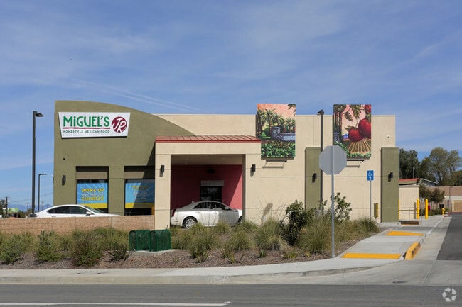
17815 Van Buren Blvd
Riverside-San Bernardino-Ontario, CA
.95 ACRES M/L IN POR LOT 45 MB 014/067 WOODCREST ACRES NO 3
274-140-045
Riverside
Commercialacreage
California
CPS
45
D Areas with possible but undetermined flood hazards.
0.95 AC
2024
Moreno Valley/Perris
2025
Inland Empire (California)
042004
NEARBY LISTINGS FOR SALE OR LEASE
DEMOGRAPHICS near 17815 Van Buren Blvd
1 mile
3 mile
5 mile
2025 Total Population
5,178
45,238
108,177
2030 Population
5,307
46,290
110,491
Pop Growth 2025-2030
+ 2.49%
+ 2.33%
+ 2.14%
Average Age
38
39
39
2025 Total Households
1,391
13,008
31,943
HH Growth 2025-2030
+ 2.08%
+ 1.85%
+ 1.72%
Median Household Inc
$142,700
$139,147
$120,847
Avg Household Size
3.50
3.30
3.20
2025 Avg HH Vehicles
3.00
3.00
3.00
Median Home Value
$749,518
$767,657
$729,758
Median Year Built
1996
1992
1985
Nearby Places
Map Layers
Map Styles
 Street
 Aerial
Layers
 Traffic
 Biking
Places
Listings with unknown addresses are not visible on the map
- Restaurants
- Banks
- Shops
- Fitness
- Groceries
PUBLIC TRANSPORTATION
COMMUTER RAIL
Drive
Walk
Distance
11 min
6.2 mi
Riverside-La Sierra (91 Line - Southern California Regional Rail Authority (Metrolink), Inland Empire-Orange County Line - Southern California Regional Rail Authority (Metrolink))
Drive
Walk
Distance
Riverside-La Sierra (91 Line - Southern California Regional Rail Authority (Metrolink), Inland Empire-Orange County Line - Southern California Regional Rail Authority (Metrolink))
15 min
8.6 mi
AIRPORT
Ontario International
Drive
Walk
Distance
Ontario International
36 min
22.2 mi
John Wayne/Orange County
Drive
Walk
Distance
John Wayne/Orange County
54 min
42.2 mi
Nearby Properties
Address
Land Use
TOTAL SIZE
Lot Size
Zoning
Address
Land Use
TOTAL SIZE
Lot Size
Zoning
782,209 SF
35.98 AC
Address
Land Use
TOTAL SIZE
Lot Size
Zoning
1,007,387 SF
48.02 AC
RR
Address
Land Use
TOTAL SIZE
Lot Size
Zoning
38,560 SF
12.04 AC
R3
Address
Land Use
TOTAL SIZE
Lot Size
Zoning
500,174 SF
22.96 AC
Address
Land Use
TOTAL SIZE
Lot Size
Zoning
4,439 SF
78.46 AC
Address
Land Use
TOTAL SIZE
Lot Size
Zoning
140,030 SF
9.45 AC
Address
Land Use
TOTAL SIZE
Lot Size
Zoning
136,738 SF
25.18 AC
Address
Land Use
TOTAL SIZE
Lot Size
Zoning
123,500 SF
5.98 AC
Address
Land Use
TOTAL SIZE
Lot Size
Zoning
90,960 SF
4.83 AC
Address
Land Use
TOTAL SIZE
Lot Size
Zoning
51,665 SF
10.32 AC
Address
Land Use
TOTAL SIZE
Lot Size
Zoning
47,426 SF
4.32 AC
Address
Land Use
TOTAL SIZE
Lot Size
Zoning
55,616 SF
7.98 AC
Address
Land Use
TOTAL SIZE
Lot Size
Zoning
86,938 SF
6.94 AC
Address
Land Use
TOTAL SIZE
Lot Size
Zoning
104,490 SF
9.97 AC
Address
Land Use
TOTAL SIZE
Lot Size
Zoning
21.60 AC
CPS
Address
Land Use
TOTAL SIZE
Lot Size
Zoning
45,503 SF
3.56 AC
Address
Land Use
TOTAL SIZE
Lot Size
Zoning
40,925 SF
2.94 AC
Address
Land Use
TOTAL SIZE
Lot Size
Zoning
18,800 SF
3.50 AC
Address
Land Use
TOTAL SIZE
Lot Size
Zoning
15,513 SF
4.86 AC
CPS
Address
Land Use
TOTAL SIZE
Lot Size
Zoning
3.91 AC
Address
Land Use
TOTAL SIZE
Lot Size
Zoning
42,000 SF
3.63 AC
Address
Land Use
TOTAL SIZE
Lot Size
Zoning
14,479 SF
1.43 AC
Address
Land Use
TOTAL SIZE
Lot Size
Zoning
40,925 SF
2.91 AC
Address
Land Use
TOTAL SIZE
Lot Size
Zoning
124,021 SF
7.46 AC
Address
Land Use
TOTAL SIZE
Lot Size
Zoning
14,868 SF
1.79 AC
Address
Land Use
TOTAL SIZE
Lot Size
Zoning
43,412 SF
1.81 AC
Address
Land Use
TOTAL SIZE
Lot Size
Zoning
8,201 SF
6.87 AC
Address
Land Use
TOTAL SIZE
Lot Size
Zoning
25,648 SF
2.36 AC
Address
Land Use
TOTAL SIZE
Lot Size
Zoning
5,760 SF
35 AC
RA
Address
Land Use
TOTAL SIZE
Lot Size
Zoning
17,272 SF
0.96 AC
CPS
The World's #1 Commercial Real Estate Marketplace
Connect with us
© 2026 CoStar Group
The information above has been obtained from sources believed reliable. While we do not doubt its accuracy we have not verified it and make no guarantee, warranty or representation about it. It is your responsibility to independently confirm its accuracy and completeness. Any projections, opinions, assumptions, or estimates used are for example only and do not represent the current or future performance of the property. The value of this transaction to you depends on tax and other factors which should be evaluated by your tax, financial, and legal advisors. You and your advisors should conduct a careful, independent investigation of the property to determine to your satisfaction the suitability of the property for your needs.