Property Record
17870 Oakmont Dr, Omaha, NE 68136
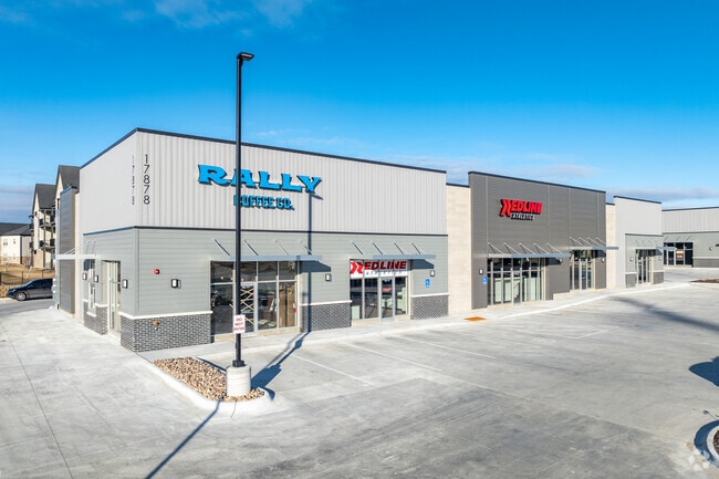

NEARBY LISTINGS FOR SALE OR LEASE
Property Detail
17870 Oakmont Dr
Omaha/Council Bluffs
Tiburon Ridge Commercial Replat 2
Omaha-Council Bluffs, NE-IA
LOT 1 TIBURON RIDGE COMMERCIAL REPLAT 2 (2.05 AC)
011616511
Sarpy
Commercialnec
Nebraska
2024
1
2025
2.05 AC
010636
Southwest Omaha
DEMOGRAPHICS near 17870 Oakmont Dr
1 Mile
3 Mile
5 Mile
2024 Total Population
5,070
36,929
95,794
2029 Population
5,706
40,473
101,056
Pop Growth 2024-2029
+ 12.54%
+ 9.60%
+ 5.49%
Average Age
39
35
36
2024 Total Households
1,827
12,417
33,475
HH Growth 2024-2029
+ 12.64%
+ 9.70%
+ 5.57%
Median Household Inc
$143,588
$123,351
$113,378
Avg Household Size
2.80
2.90
2.80
2024 Avg HH Vehicles
2.00
2.00
2.00
Median Home Value
$382,104
$310,822
$283,161
Median Year Built
2010
2008
2001
Nearby Places
Map Layers
Map Styles
 Street
 Aerial
- Restaurants
- Banks
- Shops
- Fitness
- Groceries
PUBLIC TRANSPORTATION
AIRPORT
Eppley Airfield
DRIVE
WALK
Distance
Eppley Airfield
34 min
22.6 mi
Freight Ports
Tulsa Port Of Catoosa
DRIVE
WALK
Distance
Tulsa Port Of Catoosa
472 min
423.4 mi
SALE & LEASE HISTORY
LISTING DATE
SALE/LEASE

Oct 26, 2022
For Lease
Nearby Properties
Address
Land Use
TOTAL SIZE
Lot Size
Zoning
Address
Land Use
TOTAL SIZE
Lot Size
Zoning
2,400 SF
21.27 AC
Address
Land Use
TOTAL SIZE
Lot Size
Zoning
72.91 AC
Address
Land Use
TOTAL SIZE
Lot Size
Zoning
48.50 AC
Address
Land Use
TOTAL SIZE
Lot Size
Zoning
9,600 SF
2.07 AC
IL
Address
Land Use
TOTAL SIZE
Lot Size
Zoning
334,533 SF
23.32 AC
Address
Land Use
TOTAL SIZE
Lot Size
Zoning
17.40 AC
Address
Land Use
TOTAL SIZE
Lot Size
Zoning
24,294 SF
25.79 AC
Address
Land Use
TOTAL SIZE
Lot Size
Zoning
183,184 SF
20.66 AC
Address
Land Use
TOTAL SIZE
Lot Size
Zoning
2,295 SF
11.77 AC
Address
Land Use
TOTAL SIZE
Lot Size
Zoning
27,027 SF
11.15 AC
Address
Land Use
TOTAL SIZE
Lot Size
Zoning
16.57 AC
Address
Land Use
TOTAL SIZE
Lot Size
Zoning
250,999 SF
17.10 AC
Address
Land Use
TOTAL SIZE
Lot Size
Zoning
250,999 SF
15.44 AC
Address
Land Use
TOTAL SIZE
Lot Size
Zoning
12.60 AC
Address
Land Use
TOTAL SIZE
Lot Size
Zoning
12,720 SF
3.44 AC
IL
Address
Land Use
TOTAL SIZE
Lot Size
Zoning
13,312 SF
9.27 AC
Address
Land Use
TOTAL SIZE
Lot Size
Zoning
17.75 AC
Address
Land Use
TOTAL SIZE
Lot Size
Zoning
184,800 SF
8.85 AC
Address
Land Use
TOTAL SIZE
Lot Size
Zoning
184,800 SF
9.41 AC
Address
Land Use
TOTAL SIZE
Lot Size
Zoning
37,295 SF
Address
Land Use
TOTAL SIZE
Lot Size
Zoning
147,076 SF
7.81 AC
Address
Land Use
TOTAL SIZE
Lot Size
Zoning
89,181 SF
4.85 AC
Address
Land Use
TOTAL SIZE
Lot Size
Zoning
16.25 AC
Address
Land Use
TOTAL SIZE
Lot Size
Zoning
155,635 SF
22.14 AC
BG
Address
Land Use
TOTAL SIZE
Lot Size
Zoning
28,444 SF
0.85 AC
Address
Land Use
TOTAL SIZE
Lot Size
Zoning
9.10 AC
Address
Land Use
TOTAL SIZE
Lot Size
Zoning
10.06 AC
Address
Land Use
TOTAL SIZE
Lot Size
Zoning
38,154 SF
10.65 AC
Address
Land Use
TOTAL SIZE
Lot Size
Zoning
14,432 SF
13 AC
Address
Land Use
TOTAL SIZE
Lot Size
Zoning
17,076 SF
13 AC
The World's #1 Commercial Real Estate Marketplace
Connect with us
© 2025 CoStar Group
The information above has been obtained from sources believed reliable. While we do not doubt its accuracy we have not verified it and make no guarantee, warranty or representation about it. It is your responsibility to independently confirm its accuracy and completeness. Any projections, opinions, assumptions, or estimates used are for example only and do not represent the current or future performance of the property. The value of this transaction to you depends on tax and other factors which should be evaluated by your tax, financial, and legal advisors. You and your advisors should conduct a careful, independent investigation of the property to determine to your satisfaction the suitability of the property for your needs.