Property Record
1797 1St St, Hampton, VA 23665

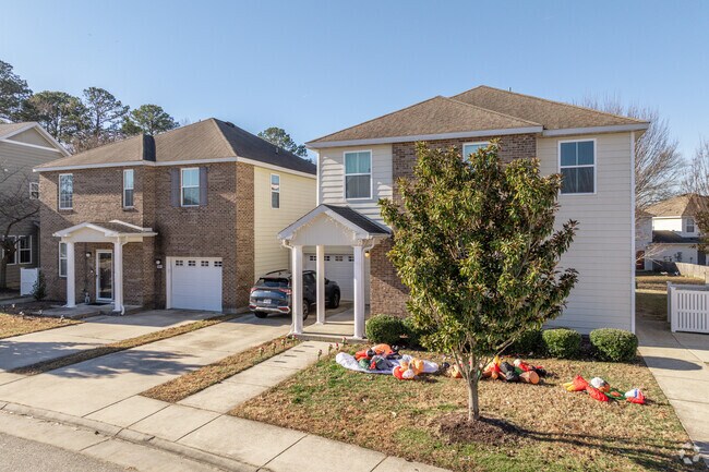
Property Detail
1797 1St St
Virginia Beach-Chesapeake-Norfolk, VA-NC
YORK
U01B-3483-4412
Virginia
Municipalproperty
0.76 AC
RESOURCE C
York County
B and X Area of moderate flood hazard, usually the area between the limits of the 100-year and 500-year floods.
Hampton Roads
66,541 SF
NEARBY LISTINGS FOR SALE OR LEASE
-
-
View all Hampton listings for sale on LoopNet.com
DEMOGRAPHICS near 1797 1St St
1 mile
3 mile
5 mile
2025 Total Population
12,323
60,891
171,457
2030 Population
12,265
60,539
170,924
Pop Growth 2025-2030
(0.47%)
(0.58%)
(0.31%)
Average Age
33
39
39
2025 Total Households
4,248
23,966
70,077
HH Growth 2025-2030
(0.64%)
(0.71%)
(0.45%)
Median Household Inc
$83,825
$85,641
$79,389
Avg Household Size
2.90
2.50
2.40
2025 Avg HH Vehicles
2.00
2.00
2.00
Median Home Value
$315,217
$352,323
$320,181
Median Year Built
1994
1990
1984
Nearby Places
Map Layers
Map Styles
 Street
 Aerial
Layers
 Traffic
 Biking
Places
Listings with unknown addresses are not visible on the map
- Restaurants
- Banks
- Shops
- Fitness
- Groceries
PUBLIC TRANSPORTATION
AIRPORT
Newport News/Williamsburg International
Drive
Walk
Distance
Newport News/Williamsburg International
16 min
7.5 mi
Norfolk International
Drive
Walk
Distance
Norfolk International
36 min
23.3 mi
Nearby Properties
Address
Land Use
TOTAL SIZE
Lot Size
Zoning
Address
Land Use
TOTAL SIZE
Lot Size
Zoning
1 SF
764 AC
5 R-13 ONE
Address
Land Use
TOTAL SIZE
Lot Size
Zoning
717,621 SF
141.28 AC
M1
Address
Land Use
TOTAL SIZE
Lot Size
Zoning
228,261 SF
48.49 AC
6 R-11 ONE
Address
Land Use
TOTAL SIZE
Lot Size
Zoning
464,936 SF
33.26 AC
R7
Address
Land Use
TOTAL SIZE
Lot Size
Zoning
393,640 SF
14.12 AC
PLANNED DE
Address
Land Use
TOTAL SIZE
Lot Size
Zoning
22,531 SF
41.78 AC
36 MD-3 MU
Address
Land Use
TOTAL SIZE
Lot Size
Zoning
350,468 SF
7.97 AC
11 MD-4 MU
Address
Land Use
TOTAL SIZE
Lot Size
Zoning
264,447 SF
2.30 AC
C4
Address
Land Use
TOTAL SIZE
Lot Size
Zoning
13.01 AC
R7
Address
Land Use
TOTAL SIZE
Lot Size
Zoning
4.62 AC
C4
Address
Land Use
TOTAL SIZE
Lot Size
Zoning
107,790 SF
5.66 AC
31 HRC-1 H
Address
Land Use
TOTAL SIZE
Lot Size
Zoning
2,095 SF
23.19 AC
MULTI-FAMI
Address
Land Use
TOTAL SIZE
Lot Size
Zoning
100 SF
14 AC
R7
Address
Land Use
TOTAL SIZE
Lot Size
Zoning
5,389 SF
24.08 AC
RMF,LB
Address
Land Use
TOTAL SIZE
Lot Size
Zoning
14,844 SF
12.93 AC
33 HRC-2 H
Address
Land Use
TOTAL SIZE
Lot Size
Zoning
517,920 SF
1.56 AC
C4
Address
Land Use
TOTAL SIZE
Lot Size
Zoning
22,000 SF
20 AC
33 HRC-2 H
Address
Land Use
TOTAL SIZE
Lot Size
Zoning
4,037 SF
6.72 AC
PUDM
Address
Land Use
TOTAL SIZE
Lot Size
Zoning
185,919 SF
16.67 AC
13 C-1 NEI
Address
Land Use
TOTAL SIZE
Lot Size
Zoning
46.94 AC
39 LFA-4 L
Address
Land Use
TOTAL SIZE
Lot Size
Zoning
3.95 AC
C4
Address
Land Use
TOTAL SIZE
Lot Size
Zoning
202 SF
18.37 AC
PLANNED DE
Address
Land Use
TOTAL SIZE
Lot Size
Zoning
60,000 SF
1.64 AC
C4
Address
Land Use
TOTAL SIZE
Lot Size
Zoning
4.60 AC
C4
Address
Land Use
TOTAL SIZE
Lot Size
Zoning
100 SF
11.10 AC
R7
Address
Land Use
TOTAL SIZE
Lot Size
Zoning
403,136 SF
37.03 AC
31 HRC-1 H
Address
Land Use
TOTAL SIZE
Lot Size
Zoning
140,400 SF
0.41 AC
C4
Address
Land Use
TOTAL SIZE
Lot Size
Zoning
371,208 SF
1.55 AC
C4
Address
Land Use
TOTAL SIZE
Lot Size
Zoning
305,776 SF
25.25 AC
6 R-11 ONE
Address
Land Use
TOTAL SIZE
Lot Size
Zoning
198,480 SF
22.07 AC
49 LBP - L
The World's #1 Commercial Real Estate Marketplace
Connect with us
© 2026 CoStar Group
The information above has been obtained from sources believed reliable. While we do not doubt its accuracy we have not verified it and make no guarantee, warranty or representation about it. It is your responsibility to independently confirm its accuracy and completeness. Any projections, opinions, assumptions, or estimates used are for example only and do not represent the current or future performance of the property. The value of this transaction to you depends on tax and other factors which should be evaluated by your tax, financial, and legal advisors. You and your advisors should conduct a careful, independent investigation of the property to determine to your satisfaction the suitability of the property for your needs.