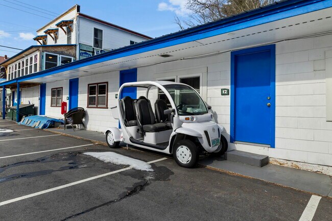
Property Record
180 Main St, North Woodstock, NH 03262


NEARBY LISTINGS FOR SALE OR LEASE
-
-
View all North Woodstock listings for sale on LoopNet.com
Property Detail
180 Main St
WDST-000106-000051
Grafton
Commercialnec
New Hampshire
X
00000
33009C0441F
1 AC
2024
Concord/New Hampshire North Area
2024
Other Market Areas
960500
Claremont-Lebanon, NH-VT
7,127 SF
DEMOGRAPHICS near 180 Main St
1 Mile
3 Mile
5 Mile
2024 Total Population
753
1,710
1,935
2029 Population
735
1,690
1,914
Pop Growth 2024-2029
(2.39%)
(1.17%)
(1.09%)
Average Age
49
49
49
2024 Total Households
361
803
902
HH Growth 2024-2029
(3.05%)
(1.87%)
(1.66%)
Median Household Inc
$57,090
$65,309
$66,900
Avg Household Size
2.00
2.10
2.10
2024 Avg HH Vehicles
2.00
2.00
2.00
Median Home Value
$273,595
$288,397
$289,698
Median Year Built
1983
1983
1982
Nearby Places
Map Layers
Map Styles
 Street
 Aerial
- Restaurants
- Banks
- Shops
- Fitness
- Groceries
SALE & LEASE HISTORY
LISTING DATE
SALE/LEASE

Mar 04, 2024
For Sale
Nearby Properties
Address
Land Use
TOTAL SIZE
Lot Size
Zoning
Address
Land Use
TOTAL SIZE
Lot Size
Zoning
128,167 SF
24.83 AC
GU
Address
Land Use
TOTAL SIZE
Lot Size
Zoning
560 SF
2,295.68 AC
RR
Address
Land Use
TOTAL SIZE
Lot Size
Zoning
54,360 SF
39 AC
Address
Land Use
TOTAL SIZE
Lot Size
Zoning
78,546 SF
4.42 AC
VC
Address
Land Use
TOTAL SIZE
Lot Size
Zoning
1.07 AC
GU
Address
Land Use
TOTAL SIZE
Lot Size
Zoning
649 SF
20 AC
GU
Address
Land Use
TOTAL SIZE
Lot Size
Zoning
51,552 SF
1 AC
VC
Address
Land Use
TOTAL SIZE
Lot Size
Zoning
50,666 SF
2.52 AC
GU
Address
Land Use
TOTAL SIZE
Lot Size
Zoning
8,414 SF
17 AC
GU
Address
Land Use
TOTAL SIZE
Lot Size
Zoning
Address
Land Use
TOTAL SIZE
Lot Size
Zoning
94,961 SF
9.78 AC
GU
Address
Land Use
TOTAL SIZE
Lot Size
Zoning
55,677 SF
6.82 AC
GU
Address
Land Use
TOTAL SIZE
Lot Size
Zoning
9,585 SF
5.90 AC
GU
Address
Land Use
TOTAL SIZE
Lot Size
Zoning
15,446 SF
0.77 AC
R01
Address
Land Use
TOTAL SIZE
Lot Size
Zoning
0.96 AC
C01
Address
Land Use
TOTAL SIZE
Lot Size
Zoning
29,724 SF
5 AC
Address
Land Use
TOTAL SIZE
Lot Size
Zoning
91.47 AC
GU
Address
Land Use
TOTAL SIZE
Lot Size
Zoning
17,169 SF
3.60 AC
GU
Address
Land Use
TOTAL SIZE
Lot Size
Zoning
52,873 SF
3.47 AC
VC
Address
Land Use
TOTAL SIZE
Lot Size
Zoning
154 AC
GU
Address
Land Use
TOTAL SIZE
Lot Size
Zoning
3,568 SF
10.50 AC
GU
Address
Land Use
TOTAL SIZE
Lot Size
Zoning
38 AC
C01
Address
Land Use
TOTAL SIZE
Lot Size
Zoning
35,400 SF
2.33 AC
GU
Address
Land Use
TOTAL SIZE
Lot Size
Zoning
27,164 SF
2.40 AC
GU
Address
Land Use
TOTAL SIZE
Lot Size
Zoning
6,159 SF
1.30 AC
VC
Address
Land Use
TOTAL SIZE
Lot Size
Zoning
10,996 SF
1.39 AC
Address
Land Use
TOTAL SIZE
Lot Size
Zoning
14,650 SF
1.06 AC
C01
Address
Land Use
TOTAL SIZE
Lot Size
Zoning
14,287 SF
1.80 AC
GU
Address
Land Use
TOTAL SIZE
Lot Size
Zoning
1.07 AC
Address
Land Use
TOTAL SIZE
Lot Size
Zoning
7,150 SF
The World's #1 Commercial Real Estate Marketplace
Connect with us
© 2026 CoStar Group
The information above has been obtained from sources believed reliable. While we do not doubt its accuracy we have not verified it and make no guarantee, warranty or representation about it. It is your responsibility to independently confirm its accuracy and completeness. Any projections, opinions, assumptions, or estimates used are for example only and do not represent the current or future performance of the property. The value of this transaction to you depends on tax and other factors which should be evaluated by your tax, financial, and legal advisors. You and your advisors should conduct a careful, independent investigation of the property to determine to your satisfaction the suitability of the property for your needs.