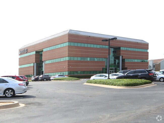
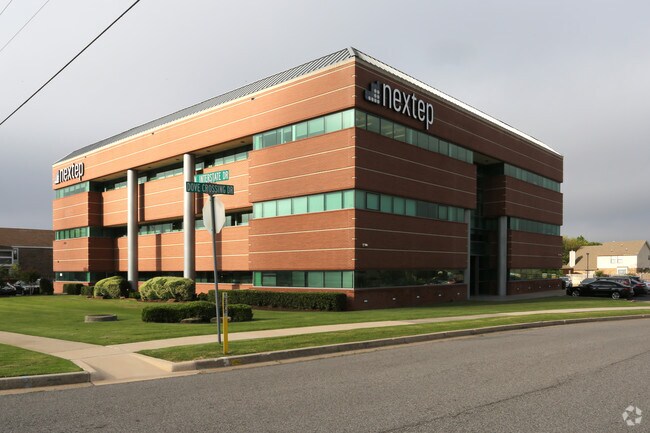
Property Record
1800 N Interstate Dr, Norman, OK 73072

NEARBY LISTINGS FOR SALE OR LEASE
Property Detail
1800 N Interstate Dr
Oklahoma City, OK
Prairie Creek 8
R0041961
PRAIRIE CREEK 8 LT 1 BLK 1
Officebuilding
Cleveland
X
Oklahoma
40027C0280J
1
2024
1.62 AC
2024
Norman
201505
Oklahoma City
36,116 SF
DEMOGRAPHICS near 1800 N Interstate Dr
1 Mile
3 Mile
5 Mile
2024 Total Population
7,070
52,498
116,704
2029 Population
7,411
55,051
122,212
Pop Growth 2024-2029
+ 4.82%
+ 4.86%
+ 4.72%
Average Age
42
39
37
2024 Total Households
3,262
22,080
45,927
HH Growth 2024-2029
+ 5.36%
+ 5.10%
+ 5.05%
Median Household Inc
$63,509
$63,831
$59,872
Avg Household Size
2.10
2.30
2.30
2024 Avg HH Vehicles
2.00
2.00
2.00
Median Home Value
$259,082
$230,116
$224,745
Median Year Built
1996
1985
1987
Nearby Places
Map Layers
Map Styles
 Street
 Aerial
- Restaurants
- Banks
- Shops
- Fitness
- Groceries
PUBLIC TRANSPORTATION
COMMUTER RAIL
Norman Amtrak Station (Heartland Flyer - Amtrak)
DRIVE
WALK
Distance
Norman Amtrak Station (Heartland Flyer - Amtrak)
9 min
4.2 mi
AIRPORT
Will Rogers World
DRIVE
WALK
Distance
Will Rogers World
32 min
19.2 mi
Freight Ports
Tulsa Port Of Catoosa
DRIVE
WALK
Distance
Tulsa Port Of Catoosa
153 min
138.5 mi
SALE & LEASE HISTORY
LISTING DATE
SALE/LEASE

Oct 19, 2016
For Lease
May 19, 2017
For Lease
Nearby Properties
Address
Land Use
TOTAL SIZE
Lot Size
Zoning
Address
Land Use
TOTAL SIZE
Lot Size
Zoning
30.47 AC
Address
Land Use
TOTAL SIZE
Lot Size
Zoning
146,265 SF
16.85 AC
Address
Land Use
TOTAL SIZE
Lot Size
Zoning
24.50 AC
Address
Land Use
TOTAL SIZE
Lot Size
Zoning
18,644 SF
2.16 AC
CO
Address
Land Use
TOTAL SIZE
Lot Size
Zoning
45.01 AC
Address
Land Use
TOTAL SIZE
Lot Size
Zoning
44.21 AC
Address
Land Use
TOTAL SIZE
Lot Size
Zoning
3.75 AC
Address
Land Use
TOTAL SIZE
Lot Size
Zoning
40,799 SF
3.07 AC
Address
Land Use
TOTAL SIZE
Lot Size
Zoning
Address
Land Use
TOTAL SIZE
Lot Size
Zoning
4.86 AC
Address
Land Use
TOTAL SIZE
Lot Size
Zoning
191,169 SF
6.30 AC
I2
Address
Land Use
TOTAL SIZE
Lot Size
Zoning
2.57 AC
Address
Land Use
TOTAL SIZE
Lot Size
Zoning
Address
Land Use
TOTAL SIZE
Lot Size
Zoning
24.83 AC
Address
Land Use
TOTAL SIZE
Lot Size
Zoning
9.51 AC
Address
Land Use
TOTAL SIZE
Lot Size
Zoning
60,000 SF
4.39 AC
RM
Address
Land Use
TOTAL SIZE
Lot Size
Zoning
17.11 AC
Address
Land Use
TOTAL SIZE
Lot Size
Zoning
7.28 AC
Address
Land Use
TOTAL SIZE
Lot Size
Zoning
Address
Land Use
TOTAL SIZE
Lot Size
Zoning
554,068 SF
71.81 AC
Address
Land Use
TOTAL SIZE
Lot Size
Zoning
Address
Land Use
TOTAL SIZE
Lot Size
Zoning
174,742 SF
26.71 AC
Address
Land Use
TOTAL SIZE
Lot Size
Zoning
5.22 AC
Address
Land Use
TOTAL SIZE
Lot Size
Zoning
16,128 SF
2.83 AC
I1
Address
Land Use
TOTAL SIZE
Lot Size
Zoning
15.25 AC
Address
Land Use
TOTAL SIZE
Lot Size
Zoning
32,789 SF
9.50 AC
I1
Address
Land Use
TOTAL SIZE
Lot Size
Zoning
24,641 SF
3 AC
Address
Land Use
TOTAL SIZE
Lot Size
Zoning
292,511 SF
6.20 AC
Address
Land Use
TOTAL SIZE
Lot Size
Zoning
102,331 SF
12.46 AC
Address
Land Use
TOTAL SIZE
Lot Size
Zoning
36,922 SF
6.21 AC
The World's #1 Commercial Real Estate Marketplace
Connect with us
© 2025 CoStar Group
The information above has been obtained from sources believed reliable. While we do not doubt its accuracy we have not verified it and make no guarantee, warranty or representation about it. It is your responsibility to independently confirm its accuracy and completeness. Any projections, opinions, assumptions, or estimates used are for example only and do not represent the current or future performance of the property. The value of this transaction to you depends on tax and other factors which should be evaluated by your tax, financial, and legal advisors. You and your advisors should conduct a careful, independent investigation of the property to determine to your satisfaction the suitability of the property for your needs.